Central-West Region, Brazil
Until the 1960s, Brazilian agronomists considered this land worthless. Too acidic, too phosphorus-poor, too seasonal to grow anything serious. Then Embrapa, the national agricultural research agency, figured out that if you poured enough lime onto the red cerrado soil - eventually twenty-five million tons per year across the country - you could grow soybeans, and a great deal of them. Today the Central-West Region of Brazil produces 46 percent of the country's cereals, legumes, and oilseeds: 111.5 million tons in 2020 alone. Cattle outnumber people. The Pantanal, the world's largest tropical wetland, occupies its southwest corner. And at the region's heart sits Brasília, dropped onto the plateau in 1960 like a modernist seed intended to grow a new country.
The Plateau
The Central-West sprawls across four political units - the states of Goias, Mato Grosso, Mato Grosso do Sul, and the Federal District - and one of the planet's most distinctive biomes. The cerrado, Brazil's tropical savanna, dominates the geography: twisted trees, grasses adapted to seasonal fire, soils the color of dried brick. Above it rises the Planalto Central, the Brazilian Highlands, a high table of ancient rock that rarely dips below 500 meters. This is the geographic center of South America, and the continent's hydrology announces it. Rivers born here feed three major basins: the Parana-Paraguay flowing south to the Rio de la Plata, the Araguaia-Tocantins flowing north to the Amazon delta, and the Xingu and Tapajos rivers that pour into the Amazon itself. Drop a coin in a Goiás stream and it could end up in Buenos Aires or Belém.
What Grew From Lime
Mato Grosso is the largest grain producer in Brazil, responsible for 28 percent of the national harvest. It is also the largest cotton producer, accounting for about 65 percent of the country's output - 1.8 million of the 2.8 million tons Brazil harvested nationally. Goiás leads the country in tomatoes and sorghum, and comes second in sugarcane. The numbers cascade: 74 million head of cattle, more than a third of Brazil's total; the country's second-largest pulp and paper exports, driven by a million hectares of planted eucalyptus in Mato Grosso do Sul. Coffee grown on the cerrado is now a major export. The agricultural revolution that Embrapa unlocked lifted Brazil from food importer to agribusiness superpower, but it did not come free. The same researchers who made the cerrado productive watched corporations like Cargill and Bunge accelerate the clearing of the savanna beyond what biologists consider sustainable.
The Pantanal and the Chapadas
Agriculture is not the only story the Central-West tells. In the southwest, the Pantanal Mato-grossense - the largest swampy plain in the world - floods and drains on an annual rhythm, sustaining jaguars, hyacinth macaws, caiman, and giant river otters. Bonito, in Mato Grosso do Sul, offers rivers so clear you can snorkel through schools of golden dourado fish over limestone beds. Chapada dos Guimaraes rises from the plains in orange sandstone cliffs and 80-meter waterfalls. Across the region, Chapada dos Veadeiros in northern Goiás preserves some of the cerrado's oldest landscapes on a crystalline quartzite plateau. The Araguaia River divides Goiás from Mato Grosso and draws anglers from around the world to its sandbar beaches during the July dry season. Pirenopolis, founded by gold miners in 1727, preserves colonial stone streets that flood with horsemen every May during the Festa do Divino.
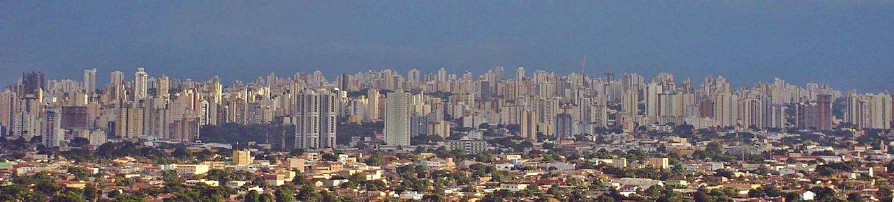
The Capital That Rose in Three Years
Brasília anchors the region not because of its size but because of what it represents. Before 1960, the Central-West was a sparsely settled frontier. Juscelino Kubitschek campaigned on building a new capital in the interior - fifty years of development in five, as his slogan promised - and delivered a city designed by Lucio Costa in the shape of an airplane, filled with Oscar Niemeyer's concrete curves. The move from Rio de Janeiro forced infrastructure into the region: highways, power grids, the runway at what became Brasília International Airport, the third-largest in Brazil by passenger traffic. Cuiaba's Marechal Rondon airport and Campo Grande's shared civilian-military field followed. The highways built to supply Brasília ended up carrying soybeans out of Mato Grosso instead - an infrastructure built for politics that became the backbone of an agricultural empire.
The Edge Where Biomes Meet
The Central-West sits at a crossroads of Brazilian ecosystems. To the north, the cerrado fades into Amazon rainforest. To the east, it grades into the caatinga, the thorn scrub of the Northeast. To the south, it meets the Atlantic Forest remnants and the grasslands of Paraguay. This meeting of biomes is why the region holds such diverse wildlife, and why the expansion of industrial agriculture draws such fierce criticism. The Federal District's National Park, Emas National Park in southwest Goiás, and the UNESCO World Heritage site at Chapada dos Veadeiros preserve fragments of what once extended unbroken from the Serra da Canastra to the Bolivian border. From the air, the pattern is visible: neat rectangles of soy and cotton, then a strip of gallery forest along a river, then savanna that has not yet been converted. The ratio is changing, and not in the savanna's favor.
From the Air
Centered around 14.8 degrees south, 53.5 degrees west. The region spans roughly 1,600,000 square kilometers. From cruising altitude, look for the checkerboard of soy and cotton in Mato Grosso, the Pantanal wetlands in the southwest, and the Planalto plateau where Brasília sits at roughly 1,100 meters elevation. Major airports: Brasília International (SBBR), Marechal Rondon/Cuiaba (SBCY), Campo Grande International (SBCG), Santa Genoveva/Goiania (SBGO). Best visibility June-September during the dry season.
Nearby Stories
- Brazilian War of Independence 95 km away
- Serra Azul State Park 122 km away
- Guiratinga 138 km away
- Chapada dos Guimarães 177 km away
- Wildlife of Brazil 222 km away
- Percy Fawcett 323 km away