Serra Azul State Park
The official center of Brazil is here. Not the geometric middle of the country's borders as drawn on a map, but the geodetic center - the reference point from which every other coordinate in Brazil is calculated. The marker sits inside Serra Azul State Park, planted in the cerrado somewhere between sandstone escarpments and waterfall-carved gullies in the municipality of Barra do Garças, in the far east of Mato Grosso. From here, surveyors triangulate the country. Paragliders, meanwhile, just launch off the cliffs.
The Shape of the Land
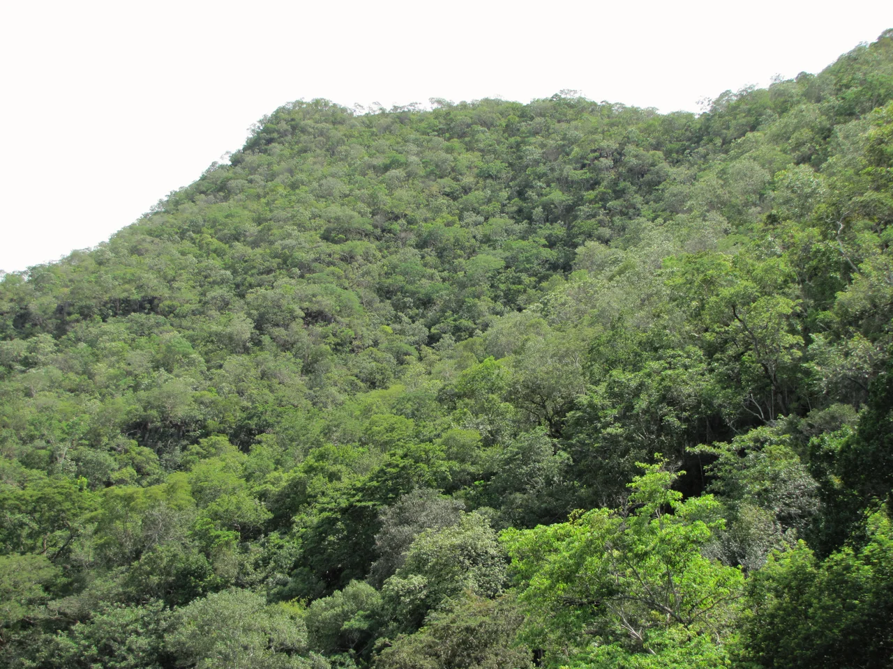
The park covers 11,002 hectares of the Guimarães plateau, a bulge of uplands bounded by three different depressions - Paranatinga to the north, Araguaia to the east, Parecis to the northeast. The terrain is not gentle. Elevations climb from 350 meters at the entrance to 730 meters at the highest points, and the escarpments between them drop away at angles steeper than 45 degrees. Streams tumble off the plateau in every direction, feeding the Araguaia River or the Rio das Mortes - the River of the Dead, one of the great tributaries of central Brazil. The soils are mostly litholic, scraped thin over sandstone, and the climate follows the classic cerrado pattern: a rainy October-through-March and a dry April-through-September.
Place of Birds
The Bororo people lived here before the state park existed, before the cattle ranches it was carved from existed. They called this place Kieguereiral - the Place of Birds. The name held up: as of 2015, 180 bird species had been documented inside the park, alongside around 800 species of vascular plants, and researchers acknowledged the flora and fauna had not been fully inventoried. Cerrado is one of Earth's most biodiverse savannas, and the gallery forests along the streams, the semi-deciduous woodlands on the slopes, and the rocky cerrado on the ridgetops all support different communities. The Astyanax xavante, a small fish found nowhere else, lives only in the Córrego Avoadeira, the largest stream within park boundaries.
Fires and Recoveries
The dry season brings fire. The park has burned hard in 2002, 2005, 2007, and 2012, and again in August and September of 2014 when flames swept through 80 percent of the vegetation and the park closed entirely. Cerrado is adapted to fire - many species depend on it for germination - but industrial-scale surrounding agriculture has changed the frequency and the heat. The remains of old farm roads, from before the land was expropriated to create the park in 1994, now serve as firebreaks. The park reopened in December 2015 for paragliding by members of the Free Flying Association and for supervised school groups, part of a gradual strategy to balance public access - around 2,500 visitors per month - against the pressures that a full reopening would bring.
Paintings and Paragliders
For pilots, the appeal is the escarpment. Stable thermals rise off sun-heated sandstone, and the launch points on the Serra Azul ridge give clean air for hours of soaring over cerrado stretching to the horizon. For hikers, there are fifteen waterfalls along park trails, plus Christ's staircase and a gazebo positioned for the view. For anyone interested in what came before, there is Pezinhos Cave, where prehistoric paintings of real anthropological significance survive on rock walls. Survive is the right word: visitors had been touching the paintings and scratching their names over them, and by 2015 the deterioration forced closure. The park's managers are still working on how to open it sustainably - how to let people see what the Bororo and their predecessors left behind without letting that same seeing destroy it.
From the Air
Located at 15.82°S, 52.22°W, inside the municipality of Barra do Garças in eastern Mato Grosso. At altitude, the park reads as a ridgeline of wooded escarpments rising above surrounding cleared agricultural land, with the Araguaia River visible along the eastern margin. Nearest airfield: Barra do Garças Airport (SBBW, approximately 50 km). Thermal conditions near the ridge line are good April-September during the dry season - the same conditions that attract paragliders and, unfortunately, wildfires.
Nearby Stories
- Montes Claros de Goiás 32 km away
- Iporá 67 km away
- Araguainha Crater 73 km away
- Aruanã 103 km away
- Guiratinga 120 km away
- Central-West Region, Brazil 127 km away
- Mineiros 160 km away