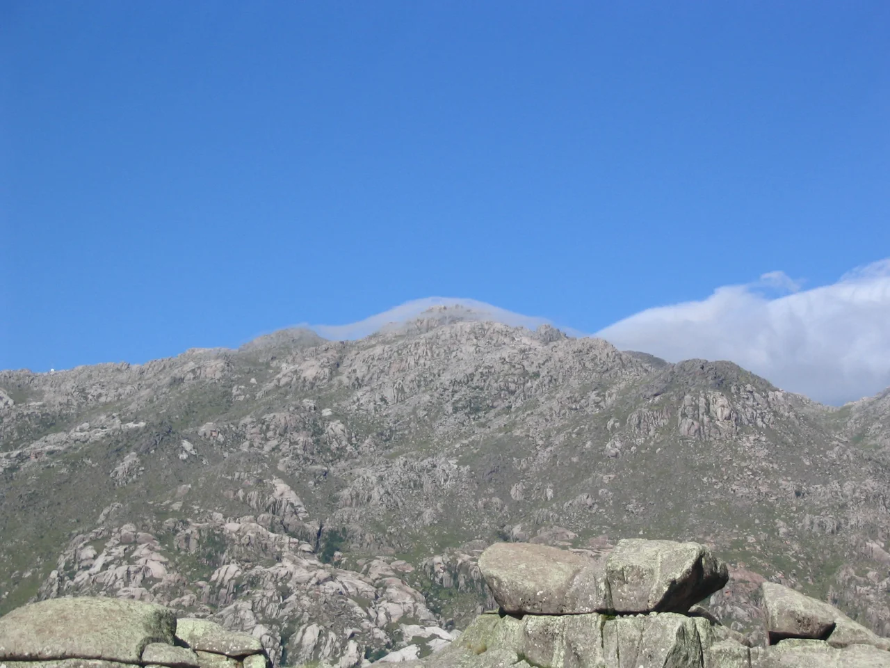

Cerro Champaquí
Near the top of Córdoba's tallest mountain, there is a lake so small you could walk its shore in a few minutes. From late April to early August it freezes solid. The Comechingón people, who knew these heights long before any surveyor measured them, named the whole mountain for it: Champaquí, "water at the top of the hill." At 2,790 metres, Cerro Champaquí is the highest point in the province and the second of Córdoba's Seven Natural Wonders - a summit defined not by its rock but by the improbable pool of water it cradles against the sky.
Roof of the Sierras
Champaquí crowns the southern end of the Sierras Grandes, the highest range of the Sierras de Córdoba, where central Argentina buckles upward into bare grey peaks. The mountain is a kind of dividing wall between two worlds. To the east lies the green Valle de Calamuchita; to the west, the Valle de Traslasierra falls away toward the dry country beyond. The slopes are not symmetrical - the western face drops steeply, while the eastern foothills roll down in gentler folds. The summit and its surroundings are protected as the Monumento Natural Champaquí, a recognition that this is not just the highest ground around but a landscape worth keeping intact.
The Climb from Villa Alpina
The classic route to the top begins at Villa Alpina, a small mountain village on the eastern slopes. From there the path winds upward through grassland and rock, gaining altitude steadily until the trees thin and the world opens out. It is a trek that draws both seasoned mountaineers and people attempting their first real summit, and many break the climb over more than one day, sleeping in mountain refuges along the way. The reward at the top is a view that runs for miles in every direction - the patchwork valleys far below, ridgeline after ridgeline fading into blue haze, the curve of the sierras laid out like a relief map. The mountain can be climbed year-round, but between June and September the cold bites hard and snow can dust the peak. That is also when the little summit lagoon ices over, locking away the water that gave the mountain its name.
A Mountain Between Two Valleys
Champaquí anchors a region that has drawn people for centuries. On its eastern flank sits the town of Santa Rosa de Calamuchita; on the western side lies Villa de Las Rosas, gateway to the Traslasierra. Between them the mountain stands as a constant reference point, visible from across the sierras, a landmark that orients an entire corner of Córdoba. The high tablelands nearby, the windswept Pampa de Achala, share the same austere beauty - thin air, hard light, and a silence broken mainly by wind. For the Comechingones who first named these heights, and for the trekkers who climb them now, Champaquí has always been a place apart, the spot where the land simply runs out of higher ground to offer.
Legends at the Top
Mountains this prominent tend to gather stories, and Champaquí is no exception. The frozen summit lagoon, ringed by bare rock and open sky, has become the setting for local legends passed down across generations - the kind of place that invites myth simply by being so improbable, so high and so still. The Comechingón name itself carries a quiet poetry: water at the top of the hill, a small miracle of moisture in a landscape of stone. To reach it is to stand at the meeting point of the province's geography and its imagination, on ground the first inhabitants held in regard and modern climbers still treat as a rite of passage. Few summits reward the effort so completely, or hold their water and their stories so close to the sky.
From the Air
Cerro Champaquí stands at 31.98 degrees south, 64.93 degrees west, at the southern end of the Sierras Grandes in western Córdoba Province, with a summit elevation of about 2,790 metres (roughly 9,150 feet). From the air it reads as the high point of a long, bare grey ridgeline separating the green Calamuchita valley to the east from the Traslasierra valley to the west; in clear conditions the tiny summit lagoon may be visible as a glint near the top. The nearest major airport is Córdoba's Ingeniero Taravella International (ICAO: SACO) to the northeast. As a prominent terrain feature well above the surrounding valleys, Champaquí demands respect: maintain generous clearance above the summit, and be alert for orographic cloud, strong winds, and rapidly changing mountain weather that can build over the Sierras Grandes with little warning.
Nearby Stories
- Pampa de Achala 3.1 km away
- Fábrica Argentina de Aviones 23 km away
- Villa de Merlo 24 km away
- National University of Córdoba 54 km away
- San Luis 154 km away
- Sierra de las Quijadas National Park 173 km away
- Villa San Agustín 227 km away
- Battle of Cepeda (1820) 326 km away