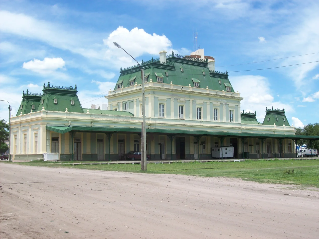

San Luis
The people of San Luis call themselves puntanos, and the name carries a story. The city grew up at a spur of the Sierras Grandes known as Punta de los Venados, the Point of the Deer, where the animals once gathered against the rising hills. From that one geographic detail comes the identity of an entire population. Founded in 1594 at the edge of the dry pampa, abandoned, then founded again, San Luis is a capital that has had to be willed into permanence more than once, and the puntanos wear that stubbornness like a badge.
Twice Founded
The first attempt came on 25 August 1594, when Luis Jufré de Loaysa y Meneses established a settlement on this dry plateau. It did not last; the site was abandoned. In 1632 Martín García Óñez de Loyola founded it again under a grand and unwieldy name, San Luis de Loyola Nueva Medina de Río Seco. The "Río Seco," or dry river, was honest advertising for a place set on an arid plain at the foot of the mountains. Growth came slowly. By the end of the 19th century the town held only 7,000 people. Then, in 1882, the Argentine Great Western Railway reached San Luis on its way toward Chile, and the modern city began to take shape. Work on the cathedral started the following year.
Monuments to a Liberator
San Luis wears its independence history on its plazas. Independence Park centers on an equestrian monument to General José de San Martín, the soldier who liberated Argentina, Chile, and Peru from Spanish rule, one of the towering figures of South American history. Nearby, Pringles Plaza honors Colonel Juan Pascual Pringles, one of San Martín's chief adjutants and, for a brief time, governor of the province. The neoclassical cathedral anchors the old center, surrounded by colonial architecture and museums, among them the Dora Ochoa de Masramón Provincial Museum. The Governor's Executive Building, finished in 1911 in French Renaissance style, lends the city a touch of European grandeur planted firmly in the Argentine interior.
Sun, Stone, and Water
The land around San Luis is defined by heat and dryness. The city sits near 730 meters above sea level, on the northern bank of the Chorrillos River, where the dry pampa meets the granite slopes of the Sierras Grandes. Summers are hot and humid, winters cool and dry, with the occasional frost and rare snowfall; January averages 24 degrees Celsius, July just under 9. That abundance of sunlight has become an asset. Just outside the city lies the Caldenes del Oeste solar power park, a 30-megawatt photovoltaic plant inaugurated in 2018, turning the relentless puntano sun into electricity. For water and recreation, residents head to nearby Lake Potrero de los Funes, a reservoir ringed by hills.
Crossroads of the Cuyo
San Luis has always been a place you pass through on the way somewhere else, and it has made the most of that role. National Route 7 runs straight through, linking Mendoza to the west with Buenos Aires to the east, the old colonial road to Chile reborn as a modern highway. The city's airport handles regular flights to the capital. Beyond the urban edge waits one of the region's natural showpieces: Sierra de las Quijadas National Park, where wind and water have carved red sandstone canyons and badlands out of the desert. From a population of 40,000 in 1960, the city grew quickly as light industry and retirees arrived, reaching more than 150,000 in recent counts, a provincial capital that keeps drawing people toward its point of land and its dependable sun.
From the Air
San Luis lies at 33.30°S, 66.34°W in the Cuyo region of west-central Argentina, at the foot of the Sierras Grandes on a dry pampa plateau roughly 730 meters above sea level. The terrain transitions from flat plain to granite sierra immediately north and west of the city, so a viewing altitude of 8,000-12,000 feet gives a clean view of the grid-pattern city against the rising hills. Navigational landmarks include the Sierras Grandes to the north, Lake Potrero de los Funes nearby, and the red canyons of Sierra de las Quijadas National Park to the northwest. The city is served by Brigadier Mayor César Raúl Ojeda Airport (IATA LUQ, ICAO SAOU), just north of the center, with regular service to Buenos Aires. National Route 7, the Mendoza-Buenos Aires corridor, is a clear linear feature from the air. Skies are usually clear with good visibility; expect strong thermals over the sierras on hot afternoons.
Nearby Stories
- Tragedy of Alpatacal 52 km away
- Sierra de las Quijadas National Park 61 km away
- Villa de Merlo 104 km away
- LADE Flight 072 153 km away
- Cerro Champaquí 172 km away
- Finca Los Alamos 179 km away
- San Rafael, Mendoza 223 km away
- The Pampas 379 km away