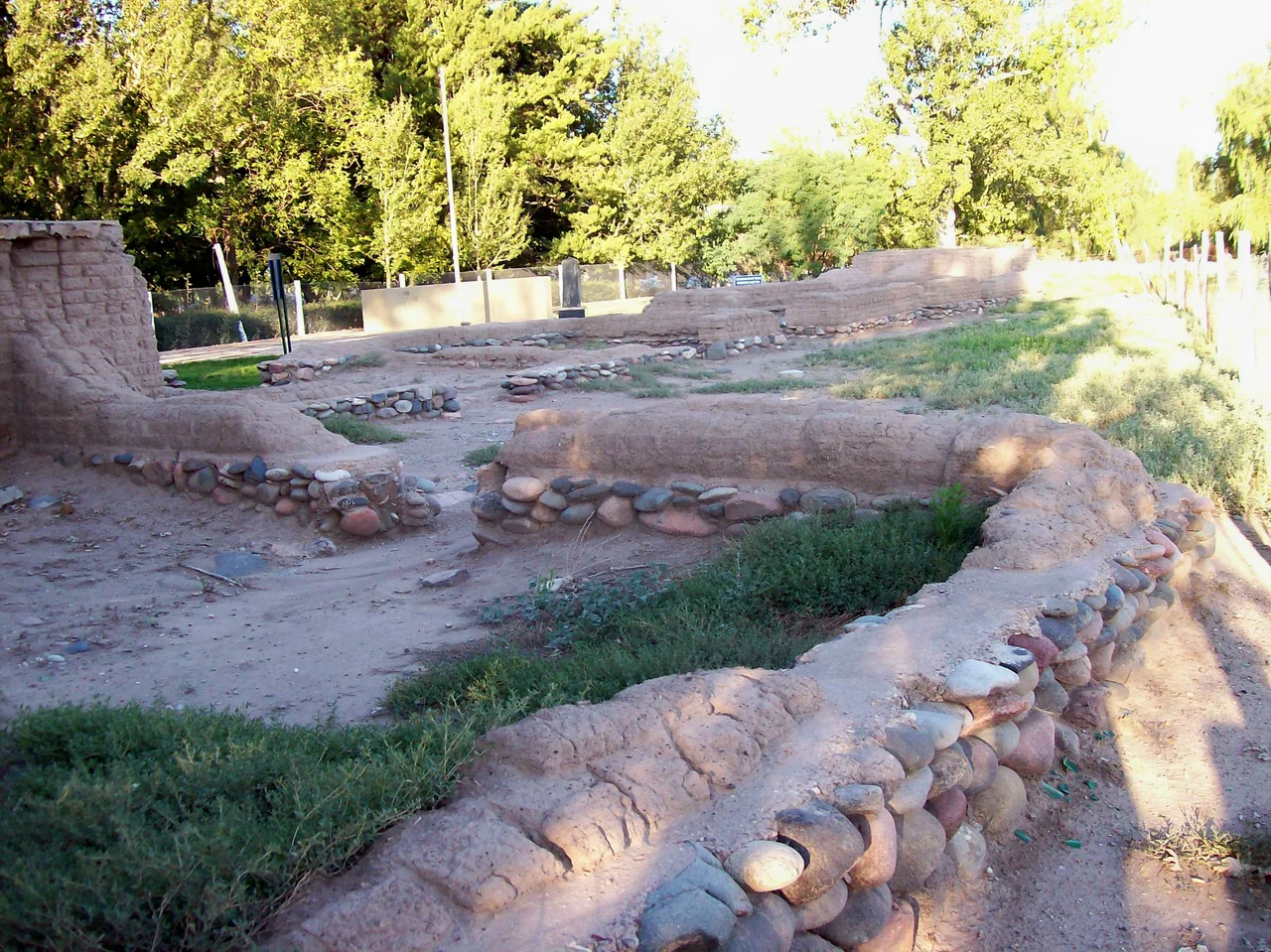

San Rafael, Mendoza
The city begins with a treaty and a fort. In 1804, after years of revolt against the colonists who had taken their land, the Pehuenche people signed an agreement with the Spanish viceroy, and on the second of April 1805 the Fort San Rafael del Diamante was completed on the banks of the river. From that frontier garrison grew San Rafael, today a city of more than 118,000 people set among orchards and vineyards in the southern reaches of Argentina's Mendoza Province, where the dry plains meet the snowmelt rivers tumbling out of the Andes.
Conquest on the Diamante
The story of how this land changed hands is older and harder than the fort. Spanish expeditions led by Francisco de Villagra rode in from what is now Chile in 1551 and found the region already settled by agricultural peoples, the Coquimbo and the Diaguita, whose farms and irrigation predated the newcomers by generations. The colonists subdued them and seized the land. The displaced Pehuenche fought back across decades of raids until the 1804 treaty signed by Viceroy Rafael de Sobremonte formalized the loss, ceding territory to colonial authority. The fort that rose the following year was both a marker of that conquest and the seed of the city, a hard origin that San Rafael shares with much of the Americas.
Water Makes a City
For a long time San Rafael was simply too remote to matter, isolated from the rest of Argentina even after independence in 1816. What changed everything was water, and the will to manage it. In 1871 the civil engineer Julio Balloffet was sent to develop the town, and he built it the bones of a real city: schools, plazas, a hospital, a cathedral, and above all the irrigation canals that turned dry plain into productive orchard. By 1900 those fruit groves had drawn waves of Italian and French immigrants, whose labor and tastes still flavor the region's wine and food. Formal designation as department seat came in 1903, the railway arrived that November, and in 1922 San Rafael was officially a city. A frontier post had become a hub.
Taming the Torrents
The same rivers that watered the orchards could also be made to generate power. The Atuel and the Diamante run torrential out of the mountains, and over the twentieth century engineers dammed them for hydroelectricity, reshaping the landscape in the process. The first major work, the Nihuiles hydroelectric system, entered service in 1957 on the Atuel and produces a striking share of the nation's power; it also created a reservoir of some 9,000 hectares that opened a whole new economy of lakeside recreation. The Los Reyunos dam followed on the Diamante in 1984. Around these waters grew the tourism that now defines southern Mendoza: rafting, sailing, and the dramatic painted gorge of the Cañón del Atuel just to the south.
Orchard Town, Racing Town
Modern San Rafael wears its prosperity comfortably. It sits about 236 kilometres south of the provincial capital and a long 990 kilometres from Buenos Aires, far enough to keep its own unhurried character. The climate is cold and semi-arid, the kind of high-desert air that suits both vineyards and clear nights. Wine and fruit remain the economic backbone, but the city has a faster side too: since 1968 it has hosted motor racing at its autodrome, including rounds of Argentina's prized TC 2000 touring car series. Plazas shaded by trees, a cathedral at the center, rivers and reservoirs at the edges of town, and the white wall of the Andes on the western horizon: San Rafael has become exactly the kind of place its founders, staring out from a lonely fort, could never have imagined.
From the Air
San Rafael lies at 34.62°S, 68.34°W in southern Mendoza Province, at roughly 750 metres elevation on the semi-arid plain east of the Andes. From the air it reads as a green grid of irrigated orchards and vineyards threaded by the Diamante River, with the Atuel River and its reservoirs to the south and the snow-capped Andes on the western horizon. The city is served directly by San Rafael Airport (SAMR, elevation 2,470 ft), about 6 km west of town. Mendoza El Plumerillo (SAME, elevation 2,310 ft) lies roughly 230 km north, and Malargüe (SAMM, elevation 4,683 ft) to the south. Skies are often clear in this cold, dry climate, offering long-range views toward the cordillera.
Nearby Stories
- Atuel Canyon 21 km away
- Pierre Auger Observatory 58 km away
- Uco Valley 76 km away
- Tragedy of Alpatacal 96 km away
- Hotel Termas el Sosneado 108 km away
- Bodega Catena Zapata 134 km away
- San Luis 196 km away
- Lihué Calel National Park 401 km away