
The Pampas
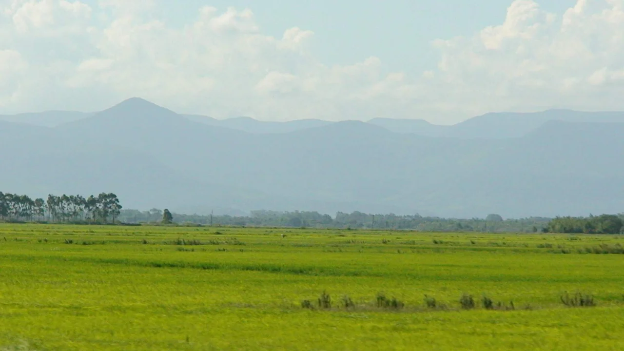
Stand anywhere on the Pampas and the first thing you notice is how little stands with you. The grass runs flat to every horizon, broken only by a distant windmill or a line of trees planted as a windbreak. It is a landscape that hides its drama in time rather than terrain. Twelve thousand years ago, this same flat ground carried an elephant-sized ground sloth named Megatherium, the car-sized armored Glyptodon, and Smilodon populator, a saber-toothed cat larger than any lion alive today. The giants are gone. The immensity they walked across remains, and it is still one of the most consequential pieces of land on the continent.
A Plain the Size of an Empire
The word comes from Quechua: pampa, meaning simply plain. The name fits the scale. These grasslands sprawl across more than 1,200,000 square kilometers, taking in the Argentine provinces of Buenos Aires, La Pampa, Santa Fe, Entre Ríos, and Córdoba, all of Uruguay, and Brazil's southernmost state of Rio Grande do Sul. For all that expanse, the terrain barely moves. Elevations rarely top 600 meters, and the monotony is interrupted only by two low ranges near Bahía Blanca and Tandil. The highest point, Cerro Tres Picos in the Sierra de la Ventana, reaches just 1,239 meters, a modest summit that towers over everything around it precisely because everything around it is so level.
The Treeless Riddle
Why did a region this fertile grow almost no trees? The question has puzzled naturalists for generations, and no single answer has won. Seasonal drought is the usual suspect, with grass roots outcompeting tree seedlings for water, an effect perhaps deepened by heavy clay soils that block deep roots. Others point to fires set by indigenous peoples to clear land, to the grinding pressure of heavy grazing animals, or to the possibility that the plains are simply relics of a drier ancient climate. Most likely it was all of these at once. What grew instead was grass: feathery Stipa species and the iconic, silver-plumed Cortaderia selloana, the pampas grass that now decorates gardens worldwide but began here, in a sea of itself.
Horsemen and the Long War
When Spanish colonists founded Buenos Aires in the sixteenth century, they collided with the people already on the plains, chiefly the Querandí. For centuries the frontier moved slowly and violently. Mounted Mapuche raiders drove off settler cattle in incursions called malones, herding the animals west through Andean passes to Chile along a route known as the Camino de los chilenos. The conflict produced its own folklore and its own enduring figure, the gaucho, the nomadic horseman of the open range. It also produced grim engineering: in the 1870s Argentina dug the Zanja de Alsina, a deep trench meant to stop raiders from driving stolen herds across the grass, a literal line scratched into the earth between two ways of life.
The Land That Fed a Nation
The same flat fertility that frustrated trees made the Pampas extraordinary farmland, and it reshaped Argentina's destiny. Beginning in the 1840s and surging after the 1880s, European immigrants poured in, first under government colonization schemes and then as tenant farmers and sharecroppers working land they often did not own. They planted the grain and raised the cattle that turned Argentina into one of the world's great agricultural exporters. The breadbasket still rolls out south and west of Buenos Aires, with vineyards now spreading through the Buenos Aires wine region. The cost has been ecological: pumas, rheas, marsh deer, and the maned wolf have been pushed to scattered remnants, and the jaguar and guanaco are gone entirely from the plains they once roamed.
Where the Sky Does the Work
If the land is quiet, the sky is anything but. The Pampas and the broader subtropical plains to the north sit under some of the most violent weather on Earth, ranking among the planet's most lightning-prone regions with some of the highest storm-cloud tops anywhere. Spring and summer breed savage thunderstorms that drop punishing hail and unleash both floods and flash floods. This is also the most consistently active tornado zone outside the central United States. A day of 35 degrees can collapse into a night near freezing within hours. On a plain with nowhere to hide, the weather becomes the landscape's true terrain, and the storms are a spectacle worthy of the giants that once walked beneath them.
From the Air
The Pampas span a vast region of southern South America; the marker coordinate sits near the heart of the Argentine plains at 35.00°S, 62.00°W. From altitude the defining features are the relentless flatness, the geometric patchwork of grain fields and cattle pasture, and the two low ranges near Bahía Blanca (Sierra de la Ventana) and Tandil that break the horizon. The open terrain offers superb visibility, but pilots should respect the region's notoriously intense convective weather: towering thunderstorms, severe hail, and tornadoes are common in spring and summer. Major airports include Buenos Aires Ezeiza (ICAO: SAEZ) to the northeast and Comandante Espora at Bahía Blanca (ICAO: SAZB) to the south.
Nearby Stories
- Los Toldos 45 km away
- Battle of Cepeda (1859) 180 km away
- Villa Epecuén 201 km away
- Aerolíneas Argentinas Flight 644 207 km away
- The Works of Francisco Salamone 215 km away
- Battle of Cepeda (1820) 223 km away
- Villa de Merlo 355 km away
- Villa General Belgrano 391 km away