
Cherokee County, South Carolina
Three units of the National Park Service inside one county - Cowpens National Battlefield, part of Kings Mountain National Military Park, and the Overmountain Victory National Historic Trail running through both. Cherokee County, South Carolina, is the only county in the country that can make that claim, and the reason is concentrated in a single month. Between October 7, 1780, when the Overmountain Men destroyed Patrick Ferguson's command at Kings Mountain, and January 17, 1781, when Daniel Morgan trapped Banastre Tarleton at Cowpens, the Revolution in the South pivoted on ground that is now mostly cattle pasture and Interstate 85 traffic.
The Trading Path and the Settlers
The land was Cherokee land for centuries before European contact. When traders pushed inland in the mid-1700s, they followed the existing network of Native American paths collectively called the Trading Path - the Upper Road running south from Fredericksburg, Virginia, into the Piedmont; the Lower Cherokee Traders Path connecting western North Carolina, upstate South Carolina and northeastern Georgia. Roughly 250,000 British migrants moved south along these paths in the mid-18th century. The first wave into Cherokee County was largely Ulster Scots, joined by Germans and Anglo-Americans. Plantations followed, supported by the forced labor of enslaved African Americans, until the Civil War ended that system. The county itself wasn't organized until 1897, carved from pieces of York, Union and Spartanburg counties, named for the Cherokee people who had been displaced more than a century earlier.
Cowpens, January 17, 1781
Daniel Morgan was a Virginia frontiersman who had fought in the French and Indian War and the invasion of Canada, and who understood militia better than almost any Continental officer. At Cowpens, he placed his militia in two lines forward of his Continental regulars, with explicit instructions: fire two volleys, then withdraw. Tarleton, seeing what he took to be a militia line breaking, ordered the charge that had worked everywhere else. The militia fell back as planned. The British charged into Morgan's regulars at the top of the rise. Then the militia reformed on the flank and fired into Tarleton's exposed line. Patriot cavalry under William Washington came around behind. Most of Tarleton's command was killed or captured in less than an hour. The battle is studied at war colleges as a near-perfect tactical envelopment. The site is preserved as Cowpens National Battlefield in the northwestern corner of Cherokee County.
Gaffney and the Peach
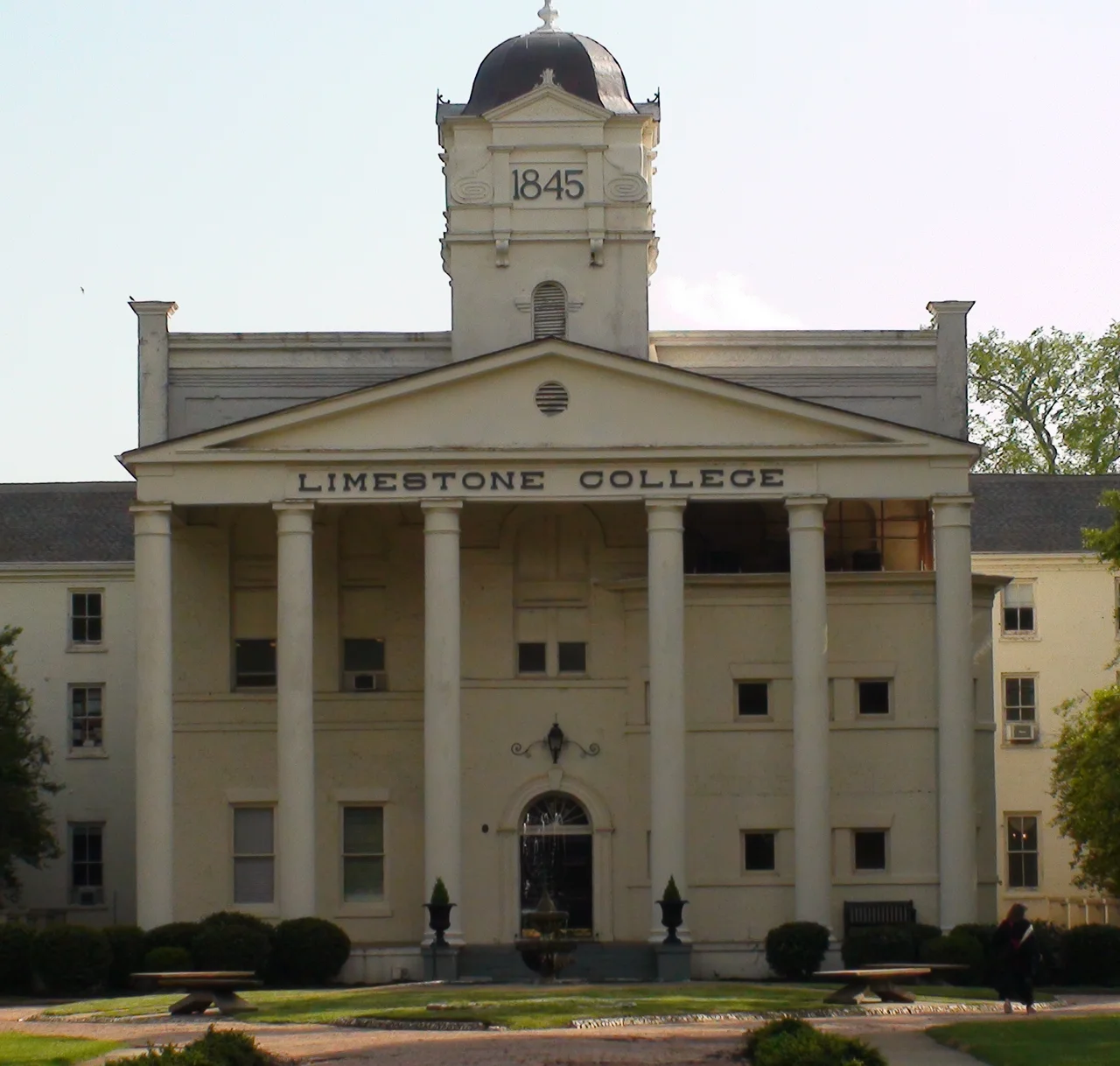
Gaffney, the county seat, is best known to drivers on I-85 for the Peachoid - a 135-foot water tower painted to look like a peach, complete with a green leaf. Visible for miles, it asserts that South Carolina, not Georgia, leads the Southeast in peach production - and it does. The Cherokee Speedway just outside Gaffney has hosted dirt-track stock car racing since the 1950s, with Bobby Isaac and Curtis Turner among the early names. Prime Outlets-Gaffney draws nearly three million visitors a year to its 80-plus retail stores. Limestone University and Gaffney Little Theatre handle the cultural calendar. The Cherokee County History and Arts Museum, in the old Central School building, traces the county's story from indigenous occupation through Revolutionary War battles to the textile and manufacturing economy that runs along Floyd Baker Boulevard today.
Three Mountains and Two Rivers
Geography is modest by Blue Ridge standards. Four small peaks rise from the Piedmont floor: Draytonville Mountain (locally called McKown's, after a farmer who owned much of it), Brown's Mountain, Thicketty Mountain and Whitaker Mountain. The Broad River cuts the eastern edge of the county, joined by the Pacolet River and McKowns Creek. Cherokee County is the third-smallest county in South Carolina by land area, packed into 397 square miles between Cleveland County, North Carolina to the north and Spartanburg County to the west. The population in 2020 was 56,216, with two-thirds living in rural areas. Cherokee Medical Center in Gaffney - 125 beds, part of Spartanburg Regional Healthcare - anchors the local hospital system. There is no airport in the county; Charlotte Douglas and Greenville-Spartanburg International handle the region's commercial traffic, and a long-discussed local airport has not yet been funded.
From the Air
Located at 35.05 degrees N, 81.62 degrees W in the South Carolina Piedmont along the North Carolina state line. Best viewed at 3,500-5,500 feet MSL. I-85 cuts through the county connecting Greenville-Spartanburg to Charlotte. Three small peaks (Draytonville, Brown's, Thicketty, Whitaker Mountain) rise modestly from the rolling Piedmont. Nearest airports: Greenville-Spartanburg International (KGSP, 20 nm west), Charlotte-Douglas International (KCLT, 35 nm northeast). The Peachoid water tower in Gaffney is a distinctive low-altitude landmark. Cowpens National Battlefield occupies the northwest corner; Kings Mountain National Military Park straddles the SC/NC line to the east.
Nearby Stories
- Donaldson Air Force Base 11 km away
- Battle of Blackstock's Farm 16 km away
- Rutherford County, North Carolina 18 km away
- Tucker's Grove Camp Meeting Ground 19 km away
- Gastonia, North Carolina 21 km away
- Greenville County, South Carolina 22 km away
- Asheville Regional Airport 28 km away
- Battle of Fishing Creek 34 km away