Citadel of Calais
When Francis, Duke of Guise, retook Calais from the English in January 1558, the kings of France made a private vow: this town would never again belong to anyone else. The medieval castle that had defended Calais since 1229 - the same building where Richard II's uncle, Thomas of Woodstock, Duke of Gloucester, was murdered in 1397 - was not strong enough to keep the promise. So they tore it down. Francois II ordered an entire neighborhood razed in 1564 to make room for a new citadel built to the new science of star-shaped artillery fortification. The first stone was laid the same year that England, accepting 120,000 crowns, finally signed away its claim to Calais forever. The kings of France had bought themselves a town and built themselves a fortress. They lost the town twice anyway.
The First Italian, the First Star
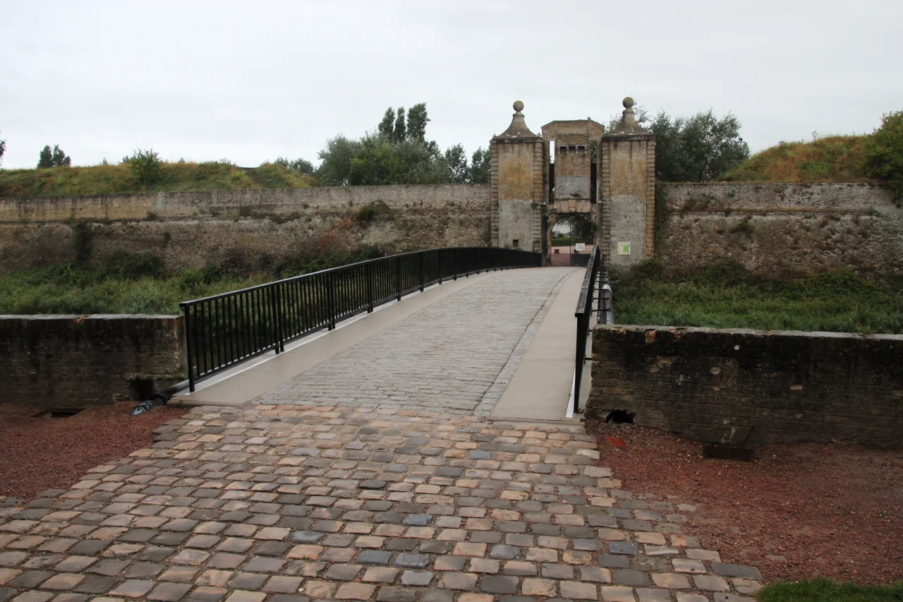
Two engineers shaped what was about to rise. Giacomo Castriotto, an Italian master in the new tradition that had spread north from Florence and Verona, brought the bastion geometry. Jean Errard of Bar-le-Duc - whose later works would include the citadels of Amiens and Doullens, and whose treatise on fortification became standard reading across Europe - built the half-moon outwork of the Hermitage at the eastern entrance, now called Neptune's Gate. The completed citadel had four towers connected by ramparts, with two gates leading into it: the Porte de Boulogne from the south and the Porte de Neptune from the east, passed through after first crossing the half-moon of the Porte de Secours. A surviving section of medieval city wall, running between the Carree Tower and the Pavee Tower, was incorporated into the new defenses. For thirty years the citadel sat unused, the way new fortresses often do, while everyone hoped the war that justified them never came.
Baptism by Fire
It came on 24 April 1596. Spanish troops under Albert VII, Archduke of Austria and Governor of the Spanish Netherlands, had already taken Fort Risban and Fort Nieulay. The civilians of Calais fled to the citadel for refuge. Then the artillery opened up. One of the walls turned out to be a hollow shell filled with sand for bulk - it crumbled under sustained cannon fire. The northeastern bastion fell next, despite the famous resistance of its commander, Michel Patras de Campaigno, called the Black Knight. By 25 April, Calais was Spanish. What followed was, according to the chronicles, a real massacre and pillage as the Spanish hunted through the streets for gold and silver. Calais remained in Spanish hands for two years, until the Peace of Vervins in May 1598 returned it to the French crown. The fortress designed to keep enemies out had been built on top of a wall that could be punched through. Lesson learned, expensively.
Richelieu and Vauban
In 1632 Cardinal Richelieu, hearing rumors of a plot to sell Calais back to England, came in person with Louis XIII. They planned to turn the entire town into a single vast fortified harbor. The plan was downsized. What Richelieu built was a large arsenal around a central courtyard, three underground bombproof shelters for the garrison, wheat mills, bread ovens, and a column with his bust in it. The funds kept getting redirected to the war against Lorraine. Twenty-six years later Vauban arrived. By then Louis XIV had taken Gravelines and Dunkirk and the strategic value of Calais was sliding, but Vauban worked on the citadel anyway, rebuilt Fort Nieulay nearby as one of the very few water-locked forts-ecluses in France, and visited again later to inspect the finished work. A Royal French Navy officer named Claude de Forbin was held in the citadel for three weeks in 1691 - punishment for shooting a man named Fervaquet who had insulted him in the street over an unpaid debt of five hundred books.
Thirty-Six Hours
The end came in May 1940. The first German bombs hit Calais on 10 May. By 24 May the city was encircled. The 25th was, in the dry phrasing of the records, a dark day - the stables burned with all their horses inside, the barracks collapsed under heavy artillery, the emergency posts were overwhelmed, an oil depot fire on the west side sent smoke into the sky for the entire day. The defenders refused the German surrender ultimatum. On the 26th the casemates trembled under continuous bombardment. The Germans came forward with flamethrowers, working through the gaps blasted in the walls. At 4:30 in the afternoon the fighting stopped - the defenders out of ammunition - after a siege that had lasted thirty-six hours. A German officer reportedly said afterward: "The citadel did not surrender. It was conquered with arms in hand." Many of the defenders were shot. Most of what was still standing was razed in the aftermath. The citadel that had withstood Spaniards and survived Vauban's renovations did not survive Stuka dive-bombers.
Stade du Souvenir
What the Germans flattened, the locals slowly built back as something different. In the 1960s the citadel grounds were converted into a sports stadium and athletic school: football pitches, rugby fields, tennis courts, shooting ranges, archery butts. The Stade Olympique de Calais set up there. The reserve team of Calais RUFC - the football side that famously reached the 2000 French Cup final as an amateur club - trained on the grass inside the ramparts before moving to the new Stade de l'Epopee. The surviving sixteenth and seventeenth century gates were listed as historic monuments in 1939 and the ditches and curtain walls in 1990. The whole complex is now known as the Stade du Souvenir - the Stadium of Remembrance. Children kick footballs against walls that absorbed Spanish cannon. The history is underfoot, and on most weekends, nobody is thinking about it.
From the Air
Located at 50.96 degrees North, 1.85 degrees East, in the western part of Calais near the Bassin Carnot. The citadel forms a roughly pentagonal star outline visible against the surrounding street grid. Cruise 2,000 to 4,000 feet for clear sight of the bastions and surviving gates. Nearest airfields: Calais-Dunkerque (LFAC) 5 km east, Saint-Inglevert (LFIS) 15 km south-west. Approach from the north gives the best view of the harbor and citadel together. The Strait of Dover is immediately offshore.
Nearby Stories
- Dover Patrol Monument 1.1 km away
- 2021 English Channel Disaster 5.9 km away
- Westhoek 9.8 km away
- Le Paradis Massacre 14 km away
- Yser 18 km away
- Admiralty Pier Turret 26 km away
- Courrieres Mine Disaster 72 km away
- Cléon 148 km away