
Cleadon
Built in 1862 to draw water from a 270-foot-deep well in the magnesian limestone, the Italianate tower on Cleadon Hills looks exactly like a Tuscan campanile - which is the point. It is not a water tower. It is a chimney, designed by Thomas Hawksley to vent the boilers of a steam-powered pumping station, dressed up to resemble a bell tower so that the Victorian Sunderland and South Shields Water Company could put something beautiful on the skyline instead of a smokestack. The chimney stands today, Grade II* listed, visible for miles. The pumping station closed in the early 1970s. Cleadon itself - the village it once watered - sits on the south-west scarp of those limestone hills, halfway between Sunderland and South Shields, an old farming settlement that has spent the last century becoming a comfortable commuter village.
Clyuedon, 1183
Cleadon's first written appearance is in the Boldon Book of 1183, where it is listed as Clyuedon, sharing an entry with Whiteberne - modern Whitburn. The Boldon Book was the Bishop of Durham's equivalent of Domesday, and the entry already describes a complex administrative system of land ownership, dues and services. Cleadon's water came from springs and wells - there are no major rivers nearby - and the village pond that still sits at the centre of the modern village probably enabled human settlement here for many centuries. In 1312, Robert the Bruce raided south from Scotland into Hartlepool; in the 1340s the Black Death reached Durham; the Little Ice Age brought famine to the area. The village endured through all of it as part of the wider Whitburn parish, its population in the 12th century estimated at around 172.
The Civil War on the Hill
In 1644, with the English Civil War raging, Cleadon found itself on a fault line. The Royalist forces of Newcastle held the country to the north. The Parliamentarians of Sunderland held the south. Between them, on Boldon Hill, the two sides met in battle. Local tradition holds that Briar Cottage in Cleadon was pressed into service as a wartime hospital. By the end of the 17th century, copyhold tenants in the village were combining their strips into more manageable enclosed fields - the Cleadon enclosure agreement was recorded in April 1676. John Wesley visited a farm cottage owned by his friend John Burdon in 1743, holding the village's first Methodist services there long before the dedicated Methodist church arrived in 1899. Cleadon kept growing in pieces.
Magnesian Limestone Country
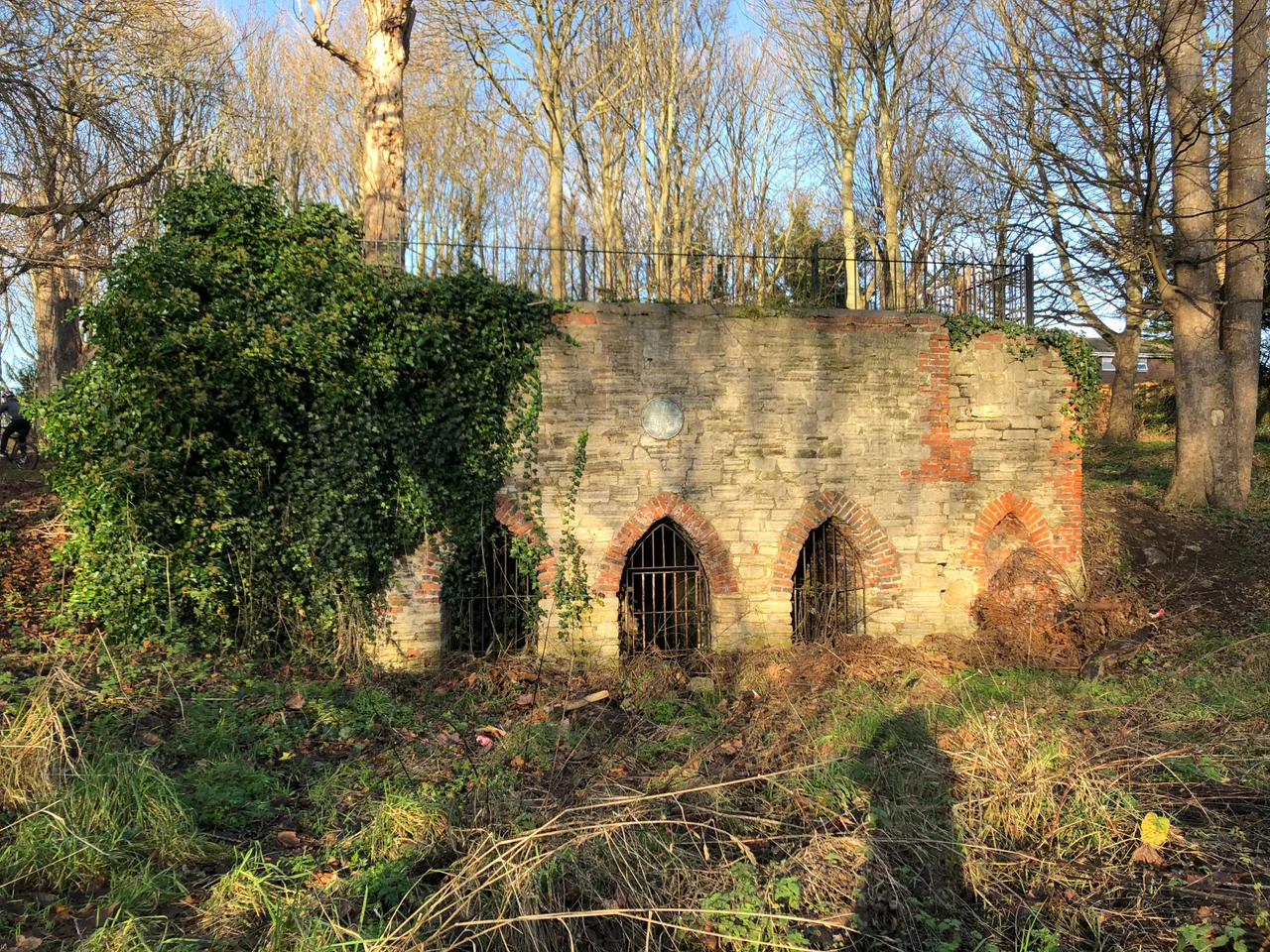
Cleadon Hills Local Nature Reserve, just north-east of the village, is one of the most significant surviving examples of magnesian limestone grassland in Britain - a habitat that grows cowslips, wild thyme and autumn gentian on the shallow alkaline soil. The limestone itself was laid down on the floor of the Zechstein Sea in Permian times, 290 to 248 million years ago. It was quarried locally for the boundary walls that still divide the fields. The Cleadon Windmill, also on the hills, was built for the Reverend George Cooper Abbs and was running by 1828. It ceased work in the late 19th century and was further damaged when used for gunnery practice in the First World War. Local legend says it is haunted by the ghost of Elizabeth Gibbons, the miller's daughter, who is said to have died of a broken heart.
What the Air Sees
From the cockpit the campanile-chimney is the unmistakable landmark - a thin pale spike against the green hills, visible for miles in clear weather and useful as a reference point on the run-in to Newcastle. Around it spread the limestone grassland and the Site of Special Scientific Interest. To the east, the North Sea coast curves through Whitburn and Marsden. To the south, Sunderland's grey-brick spread reaches the mouth of the Wear. The village itself shows as a small grid of red roofs centred on a pond, with Coulthard Park - the surviving fragment of an 18th-century pleasure garden complete with a Grade II listed grotto - tucked in the middle. Cleadon village football club's pitch and the old All Saints church spire give the place its silhouette.
From the Air
Located at 54.9554 N, 1.4008 W, between Sunderland and South Shields. Recommended viewing altitude 2,000 to 5,000 feet. Nearest airports: Newcastle International (EGNT) approximately 8 nm north-west, Durham Tees Valley (EGNV) further south. The Cleadon water tower (actually a chimney) is a prominent visual landmark, visible from many miles in clear weather. Other landmarks include the River Tyne to the north, the River Wear and Sunderland docks to the south, and the open green of Cleadon Hills.
Nearby Stories
- Seaton Carew 2.7 km away
- HMS Unity (N66) 6 km away
- George Stephenson's Birthplace 6.1 km away
- Raby Castle 9 km away
- Cragside 15 km away
- Whitby Abbey 21 km away
- German submarine U-2367 46 km away
- Alexander L. Kielland (Platform) 277 km away