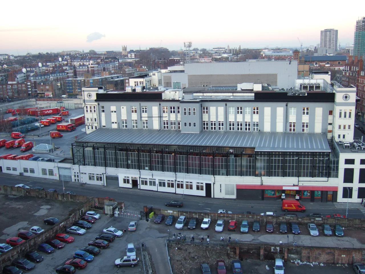

Clerkenwell
Lenin worked here. So did Garibaldi. So did Cromwell's spies, Charles Dickens's pickpockets, Pears soap salesmen, and several hundred years of London watchmakers, who polished tiny brass wheels by candlelight in workshops crammed into the streets behind Northampton Square. Clerkenwell sits just outside the medieval walls of the City of London, which is the explanation for almost everything strange about it. Being outside the wall meant being outside the jurisdiction of the puritanical City fathers, and so for centuries Clerkenwell collected the things the City did not want: brothels and breweries and clockmakers and radicals and refugees. The well it was named after was rediscovered in 1924 behind a building in Farringdon Lane, where parish clerks had once performed mystery plays for the people of medieval London. Most of those layers are still there if you know where to look.
The Knights and the Nuns
In the twelfth century the Knights Hospitaller of St John of Jerusalem - the order founded to provide medical care during the Crusades - established their English headquarters in Clerkenwell. St John's Gate, the priory's gatehouse, still stands in St John's Square, rebuilt by Sir Thomas Docwra in 1504 and astonishingly intact. After Henry VIII dissolved the monasteries in 1540 the gate was put to a long and strange series of uses. In 1731 it was the birthplace of The Gentleman's Magazine, the first English publication to use the word magazine in its modern sense, and a young Samuel Johnson did some of his early hack work there. By the early twentieth century it had returned to the order it began with: it became the headquarters of the St John Ambulance Association. The medieval crypt of the priory chapel survives beneath the much-rebuilt church above. Next door once stood St Mary's Benedictine nunnery, now entirely vanished. London is good at this: making a place forget what used to be on top of it.
The Bridewell and the Brothels
From the Elizabethan period onwards Clerkenwell had a reputation. Turnmill Street, now a quiet thoroughfare near Farringdon station, was once known as Turnbull Street and described in Sugden's Topographical Dictionary of Shakespeare as the most disreputable street in London - a haunt of thieves and loose women. Shakespeare put it into Henry IV Part 2, where Falstaff sneers about Justice Shallow boasting of the wildness of his youth and the feats he had done about Turnbull Street. The Clerkenwell Bridewell, a prison and correctional house for the people sentenced for sex work and vagrancy, was famous for savage punishment and for endemic sexual corruption by its own officers. The neighbourhood had three prisons in total - the Bridewell, Coldbath Fields Prison, and the Clerkenwell House of Detention - the last of which was the site of the Clerkenwell Outrage in 1867, when Fenians trying to break a comrade out blew a hole in the prison wall and killed twelve people in the tenement houses opposite.
Watches and Ice Cream
The Industrial Revolution turned Clerkenwell into a workshop. Breweries went up. The distillers came. The printers came. But the trade most associated with the neighbourhood was the making of clocks, marine chronometers, and watches, an industry that employed thousands of skilled craftsmen in the streets around Northampton Square. Each watch contained dozens of tiny parts made in different small workshops by specialists who polished, pivoted, jewelled, and fitted - a supply chain conducted across a quarter of a square mile. From the mid-nineteenth century the area became Little Italy. Italian craftsmen, organ grinders, mosaic workers, and asphalters settled around Saffron Hill and Eyre Street Hill, and on Sundays they processed in costume to the Italian church on Clerkenwell Road. The Italian population probably never exceeded two thousand at any one time, but its influence on London food and street culture - ice cream, in particular, brought by Carlo Gatti - lasted long after the original community had dispersed.
The Bookshop on the Green
Clerkenwell Green has not been green for at least three hundred years. It is a small irregular plaza in front of the old church, dominated by the imposing Middlesex Sessions House of 1782. It is also one of the founding sites of the British radical tradition - associated with Lollards in the sixteenth century, Chartists in the nineteenth, and communists in the twentieth. The building at 37a Clerkenwell Green, a three-storey late-Georgian shopfront, was the office where Vladimir Ilyich Lenin edited the newspaper Iskra (the Spark) between April 1902 and April 1903, before it moved to Geneva. Issues twenty-two through thirty-eight were assembled there. Lenin lived less than half a mile north on Holford Square during the same period. It is said that he and the young Joseph Stalin met in 1903 at the pub now called the Crown Tavern, then the Crown and Anchor, on Clerkenwell Green. The Marx Memorial Library was founded at the same address in 1933 and is still there. Around the corner, the offices of The Guardian and The Observer occupied Farringdon Road for decades before relocating in 2008 to King's Cross.
Architects, Restaurants, and Streets that Remember
Most of the watchmakers are gone. The Italians are mostly gone. The printers are mostly gone. What replaced them, in the late twentieth century, was architecture and design - the small, design-led studios that find Clerkenwell's brick warehouses and intricate alleyways more congenial than glass-and-steel Canary Wharf. The neighbourhood became, by the 2000s, a kind of unofficial design quarter, with Clerkenwell Design Week as its calling card. The restaurant St John, opened on St John Street in 1994 by Fergus Henderson, helped make Clerkenwell a destination for what came to be called nose-to-tail eating; Mark Bittman wrote in 2005 that the neighbourhood now had some of the best restaurants in London. The streets remember the older neighbourhoods. Saffron Hill, Eyre Street Hill, Hatton Garden - the diamond quarter - still trace the routes that ice-cream carts and silk weavers and watch repairers walked, even when the people walking them now are headed to a meeting about typefaces.
From the Air
Clerkenwell sits at 51.526 degrees N, 0.103 degrees W in central London, immediately north-west of the City of London. From the air the neighbourhood is bounded roughly by Farringdon Road to the west, Goswell Road to the east, Pentonville Road to the north, and Smithfield to the south. Nearest airports: EGLC (London City) about 5 nautical miles east, EGLL (Heathrow) about 15 nautical miles west, EGKK (Gatwick) about 25 nautical miles south. The neighbourhood is hard to pick out from cruising altitude - it blends into the dense central London grid - but the dome of St Paul's Cathedral about three quarters of a mile south is the most useful landmark.
Nearby Stories
- Stevenage 5.7 km away
- Malling Abbey 5.7 km away
- 1952 Farnborough Airshow Crash 7.7 km away
- Ingatestone Hall 8.2 km away
- Hellfire Caves 9.1 km away
- The Carrington Event: The Solar Storm That Could Happen Again 9.8 km away
- Bletchley Park 16 km away
- Castle Hedingham 23 km away