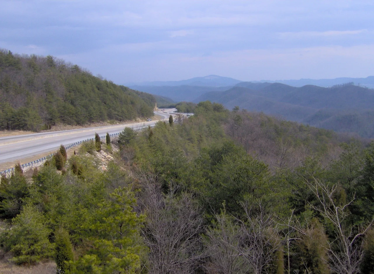

Clinch Mountain
In an eighteenth-century journal, the explorer Thomas Walker scribbled the earliest known reference: Clinch's River, from one Clinch a hunter. The name stuck, transferred from the river to the mountain that runs alongside it, and the mountain runs a long way. One hundred and fifty miles of unbroken ridge, from Kitts Point in East Tennessee northeast to Garden Mountain near Burke's Garden, Virginia. In all that distance there is exactly one true water gap, the place called Moccasin Gap between Weber City and Gate City, where the ridge is completely bisected and a railroad and three U.S. highways slip through. Everywhere else, if you want to cross, you climb.
The Wilderness Road
Daniel Boone's Wilderness Road to the Cumberland Gap crossed Clinch Mountain at Moccasin Gap. Of all the gaps along all the long Appalachian ridges, this was the one the road needed. Everywhere else the ridge stood as a barrier, separating the Clinch River basin to the north from the Holston River basin to the south. Migrants pushing west from the Carolinas and Virginia had to find passes or climb. Modern highway engineers found their patience tested too. When U.S. 25E was rebuilt as a four-lane in the 1980s near Bean Station, the gap had to be cut down by two hundred feet to fit the new road. It was one of only two places in Tennessee where a highway has ever lowered an original gap. The mountain, in other words, does not yield easily.
Tate Springs and the Robber Barons
In the late nineteenth century, the mineral springs in the Grainger County stretch of Clinch Mountain made these slopes briefly famous. Tate Springs grew from a backwoods spa into a destination grand enough that its hotel hosted the Fords, the Studebakers, the Mellons, the Firestones, and the Rockefellers. The resort had its own railroad spur. Guests took mineral baths, played golf, and spent the summer at altitudes the heat of the lowlands could not reach. The Depression drained the clientele and the resort faded; the hotel was converted to an orphanage in 1943 and burned in 1963. Today only a few buildings remain, scattered foundations where America's industrial royalty once vacationed in a Tennessee hollow.
The Carter Family and the Soundtrack of the Ridge
In 1929 the Carter Family recorded My Clinch Mountain Home, fixing this ridge in the bedrock of American country music. The song was not their only tribute. Way Up on Clinch Mountain, a folk piece descended from a seventeenth-century Scottish ballad, was recorded by Woody Guthrie as Rye Whiskey and gathered by Carl Sandburg into The American Songbag. Ralph Stanley contributed Clinch Mountain Backstep, a fiddle tune that became standard Appalachian repertoire. The mountain itself shaped the music of the families who lived along it; the music in turn made the mountain known to listeners who would never see it. The Carters' home in Maces Spring, Virginia, sits on the ridge's northern flank, and the music they made there traveled the world.
The Trail That Wasn't
In the 1970s, planners proposed a seventy-five-mile hiking corridor along the Clinch Mountain ridgeline called the Trail of the Lonesome Pine. It was supposed to run from the Tennessee-Virginia line in Hancock County to a terminus in Grainger County. Construction was nearly complete through the Hawkins and Hancock County stretches when Grainger County property owners blocked the rest. They refused to grant easements. In 1981 the entire project was abandoned, the finished sections quietly absorbed into local trail networks. The ridge that defied highway engineers and held its musical legend for a century still held something else: the right of the people who lived on it to say no.
Flight Context
Centered at 36.43 degrees north, 82.97 degrees west, with the ridge running southwest-to-northeast for 150 miles. Highest summits include Beartown Mountain, Flattop Mountain, Morris Knob, and Chimney Rock Peak, all above 4,000 feet. The ridge separates the Clinch River basin to the north from the Holston River basin to the south. Tri-Cities Regional Airport (KTRI) lies near the eastern Tennessee end. Hawkins County Airport (KRVN) sits south of the ridge near Rogersville. Lonesome Pine Airport (KLNP) at Wise, Virginia, serves the central section. Look for the long unbroken green spine; the single water gap at Moccasin Gap, between Weber City and Gate City, is the unmistakable transverse cut. Watch for ridge-induced turbulence in winds aloft from any direction perpendicular to the ridge axis.
From the Air
Coordinates 36.43N, 82.97W. The ridge runs 150 miles SW-NE across TN and VA. Highest points exceed 4,000 ft MSL. Nearby airports: KTRI (Tri-Cities) at the eastern Tennessee end, KRVN (Hawkins County) south near Rogersville, KLNP (Lonesome Pine) central VA. Recommended cross-ridge altitude 6,500-8,500 ft MSL with allowance for wave and rotor. The single water gap (Moccasin Gap) is the most reliable visual reference. Watch for orographic clouds and downslope winds.
Nearby Stories
- Bristol Motor Speedway 4.6 km away
- State of Franklin 5.4 km away
- Big Stone Gap, Virginia 17 km away
- Mitchell County, North Carolina 24 km away
- Cumberland Gap 34 km away
- Emory and Henry University 39 km away
- The Titanic Museum: The Ship That Docked in Tennessee 50 km away
- The Kentucky Meat Shower: When Flesh Fell From a Clear Sky 158 km away