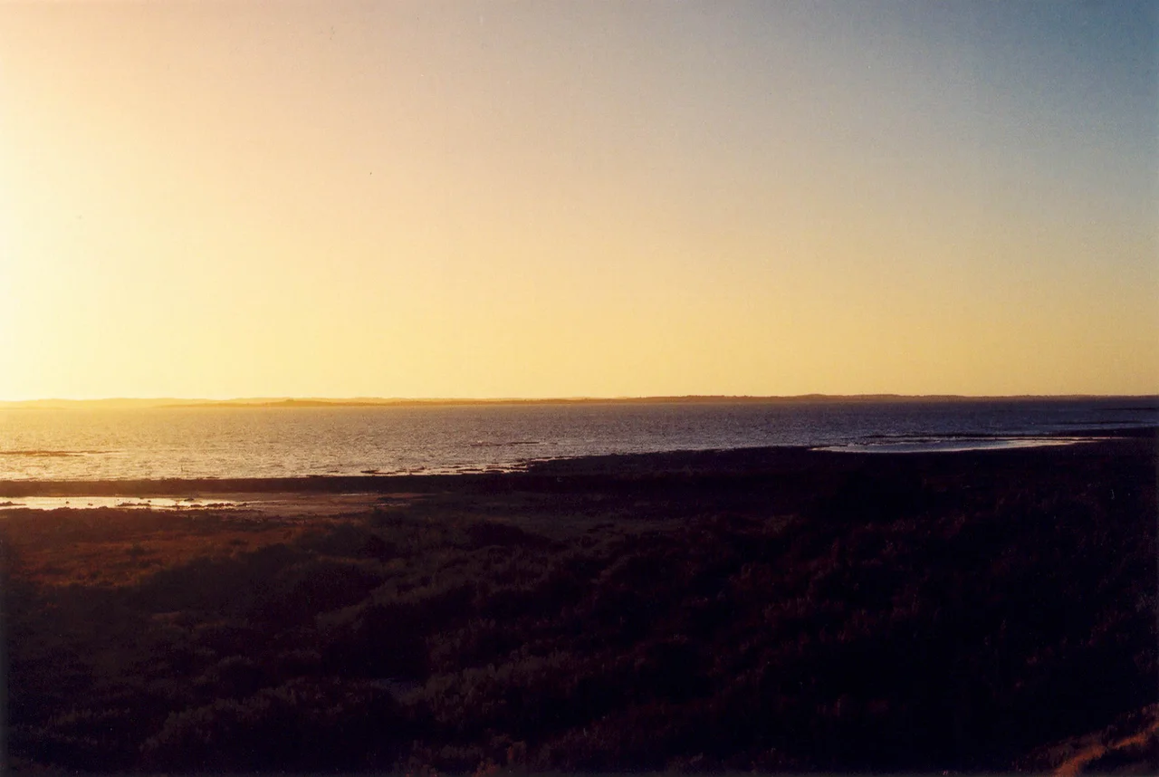

Coorong National Park
Run your finger down a map of South Australia's south-east coast and you will trace a strange, beautiful shape: a thin sliver of water, more than 130 kilometres long, pinned between the mainland and a single high wall of dunes. This is the Coorong, and its name comes from the Ngarrindjeri word kurangk, meaning a long, narrow neck of water. On one side, the Southern Ocean hammers the longest beach in Australia. On the other, behind the dunes, the lagoon lies still and shining, salt fading to fresh along its length. Pelicans wheel overhead in the hundreds. For generations of Australians, this is the landscape of a boy and his bird.
Where the River Ends
The Coorong begins where the Murray River, after a journey of more than two thousand kilometres across the continent, finally reaches the sea near the Murray Mouth. From there the lagoon stretches south-east, sheltered behind the Younghusband Peninsula, which separates it from the open ocean. It is a place defined by the mingling of waters: river flow, rainfall, groundwater, and the sea all meet here, and the balance between them shapes everything that lives in the park's 467 square kilometres. Fresh water sustains the land animals; salt water feeds the astonishing birdlife. Since the Goolwa Barrages were built across the river's mouth in the late 1930s, that delicate balance has been a managed, anxious thing, and the lagoons are now considered critically endangered as freshwater flows have dwindled.
Storm Boy Country
In 1964, South Australian author Colin Thiele set a small novel here, the story of a lonely boy living among the dunes who rescues an orphaned pelican and names him Mr Percival. Storm Boy became one of the most loved children's books in the country, filmed in 1976 and again in 2019, and it fixed the Coorong forever in the national imagination as a place of wild solitude and unlikely tenderness. The pelicans are no fiction. At Jack Point, just off the Princes Highway and about seven kilometres north of Salt Creek, sits the largest pelican rookery in Australia, where these huge, prehistoric-looking birds gather to breed on the sand flats. Watching a pelican come in to land on the still lagoon - all ungainly approach and sudden grace - it is easy to see why Thiele reached for one as his hero.
Ngarrindjeri Yarluwar-Ruwe
Long before the novelists and the national park, this was, and remains, Ngarrindjeri country - part of what they call their yarluwar-ruwe, their sea country. The Coorong carries songlines, the threaded creation stories that map the land and water, and it holds a long inheritance of living here sustainably, reading the lagoon's moods and tending its life. That knowledge is not a relic. The Ngarrindjeri Aboriginal Corporation now works alongside government scientists on the "Healthy Coorong, Healthy Basin" program, sharing landcare practices honed over countless generations to help heal a system under strain. The people who first understood this water are again being asked to help save it - a recognition, hard-won, that their custodianship was knowledge all along.
A Living Edge
The park was proclaimed in 1967 as a refuge, and a refuge is exactly what it is. When drought grips the inland, migratory birds pour into the Coorong's wetlands from across the hemisphere, making it one of Australia's great gathering places for waterbirds. Banded stilts stipple the sand flats; flocks rise and turn like smoke. Beneath the surface, Coorong mullet, mulloway, and bream draw both recreational anglers and the commercial fishers who have worked these waters for generations. The Coorong is not a postcard wilderness sealed off from people - it is a working, breathing edge of the continent, equal parts ecosystem, fishery, sacred country, and the windblown setting of a story Australians tell their children. Stand on the dune wall at sunset, ocean roaring at your back and lagoon glowing pink before you, and all of it makes sense at once.
From the Air
Coorong National Park stretches south-east from the Murray Mouth, centred near 36.05 degrees south, 139.55 degrees east, about 156 km south-east of Adelaide. From the air it is unmistakable: a long, narrow lagoon shadowing the coast for over 130 km, separated from the Southern Ocean by the unbroken dune line of the Younghusband Peninsula, with the longest beach in Australia on its seaward face. Road access on the ground is from Meningie. Best appreciated at 2,000 to 4,000 feet along the lagoon's length in clear conditions, ideally morning, when low sun reveals the contrast between hypersaline shallows and open water. Murray Bridge Airport (YMBD) lies to the north-west; Adelaide Airport (YPAD) is roughly 130 km north-west. Expect strong, gusty winds off the Southern Ocean and persistent coastal haze.
Nearby Stories
- Hindmarsh Island Bridge Controversy 40 km away
- Avenue Range Station massacre 42 km away
- Hahndorf 107 km away
- Naracoorte Caves National Park 128 km away
- The Beaumont Children 131 km away
- Mount Gambier 202 km away
- Pooncarie 367 km away
- Chatham Islands 3844 km away