Cristalina
In 1879, two Frenchmen from Paracatu rode into the highlands of Goiás carrying bolts of European cloth, and rode out carrying amethyst. Etienne Lopes and Leon Laboissiere had heard stories of the rock crystal abundance scattered across the plateau south of what would one day be Brasilia, and they exported their first shipment to Paris. The dealers there confirmed what prospectors had suspected: the ground here held real money. Lopes and Laboissiere set up shop in a place called Serra Velha, and when that first venture collapsed, a third Frenchman, Emilio Levy, arrived with more cloth to trade. The settlement he stimulated eventually became Cristalina, the town of crystals.
Mineral Inventory
The name does not exaggerate. Cristalina sits on one of the largest reserves of precious and semi-precious stones in Brazil, and the inventory reads like a gemologist's daydream: amethysts in every shade of purple, sapphires, emeralds, blue topazes, tourmaline in its green and pink and watermelon varieties. And behind them all, the clear quartz crystals that gave the town its name, growing in terminations and clusters and cathedral formations of every size. The craft shops downtown display geodes the size of refrigerators alongside faceted stones measured in carats. On weekends, visitors wander the display rooms running fingers along crystal points, turning amethyst clusters to catch the light, taking home souvenirs that came out of the hills behind the houses.
Between Two Highways
Geography made Cristalina matter long before Brasilia existed. The town sits on a plateau between the basins of the Corumba and Sao Marcos rivers, at the junction of BR-040, the highway linking Brasilia to Belo Horizonte, and BR-050, connecting Brasilia to Sao Paulo. Trucks hauling soybeans and cattle rumble through day and night, and the town lives partly off the highway traffic. Cristalina is 125 kilometers from Brasilia and 274 kilometers from Goiania, and the founding of the federal capital in 1960 pulled Cristalina into a new orbit. The mild climate helped too. At elevation, temperatures stay between 10 and 28 degrees Celsius year-round, warm enough for tropical agriculture, cool enough that the relentless heat of lower Goias never arrives.
The Grain Giant
Drive the roads around Cristalina today and the landscape tells a different story than the crystal shops downtown suggest. Soybeans stretch to the horizon, 140,000 hectares of them, worked by enormous tractors and irrigated by center pivots that draw green circles across red earth. Corn covers another 21,000 hectares, beans 34,000, and the cattle herd runs around 125,000 head. For decades, Cristalina has been the state's largest producer of garlic, coffee, onions, peas, beans, tomatoes, and wheat, which is an astonishing diversity for a single municipality. The grain elevators rise above the cerrado like monuments. This is industrial agriculture on the Brazilian scale, the kind that feeds Asian factories and European tables, and the capital flowing through it has transformed a mining curiosity into a working agribusiness city.
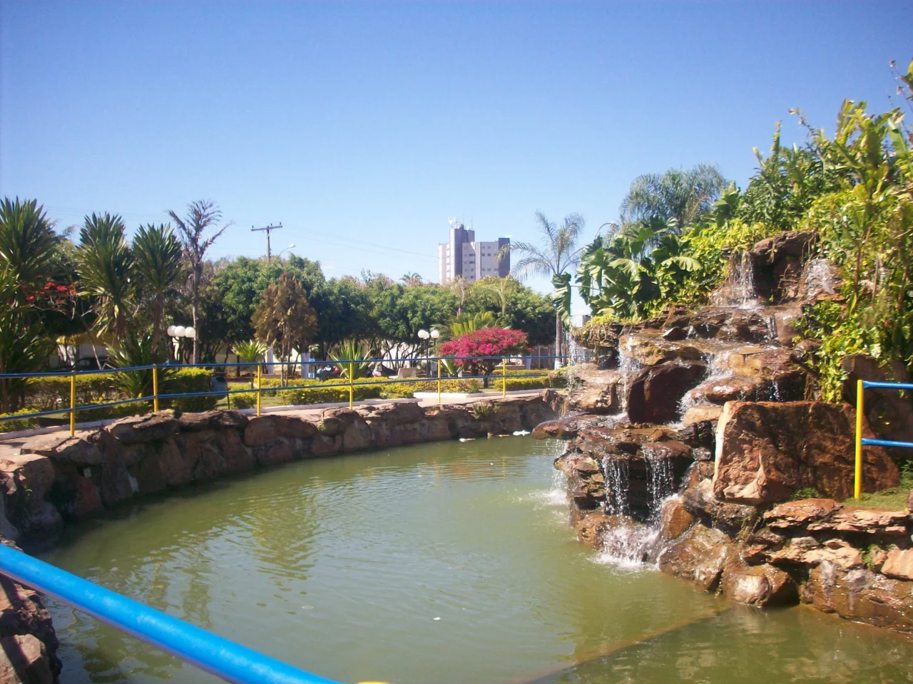
The Rock in the Hat
About five miles from downtown stands Pedra Chapeu do Sol, the Sun Hat Rock, a sandstone formation that rises from the cerrado like a weathered mushroom. The cap sits improbably on a narrow base, shaped by millions of years of wind and rain acting on different rock layers at different speeds. Locals have been climbing it and photographing it and picnicking beneath it for generations. Near town, Lake Cachoeira offers a smaller centerpiece, its shores planted with the Otto Monh Garden, a green refuge from the agricultural geometry outside. The contrast captures Cristalina's character. A town founded on underground treasure now lives by what grows above ground, but the stones are still here, still being pulled from the hills, still traded in shops where visitors can hold a piece of the plateau in their hands.
From Serra to Cristalina
The formal history is short for a place this old in feel. In 1901, the district of Serra dos Cristais was created as part of the municipality of Santa Luzia, which is now Luziania. In 1916, the district gained its independence as Sao Sebastiao dos Cristais, and the name was later shortened to Cristalina. The town's identity has cycled through gold prospecting, crystal mining, and now industrial agriculture, each phase leaving its mark. The Frenchmen who started the crystal trade are long gone, but their wager on Goias stone paid off in ways they could not have predicted. Cristalina today is a prosperous agricultural center with a mineral memory, and that combination, rural and global, ancient and mechanized, is typical of the new Brazilian cerrado.
From the Air
Cristalina lies at 16.77 S, 47.61 W on the high cerrado plateau of southeastern Goias, about 125 km south of Brasilia. Cruise at 4,500 to 6,500 feet to take in the patchwork of soybean circles and rectangular fields stretching toward the horizon. Pedra Chapeu do Sol stands out as a distinctive sandstone formation about 8 km west of town. Nearest major airport is Brasilia International (SBBR) to the north.