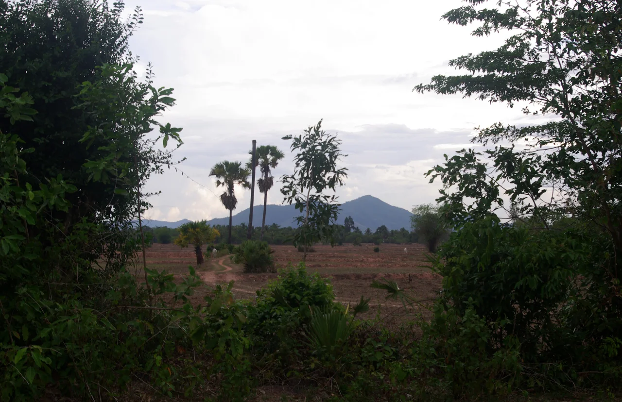

Dâmrei Mountains
A million pepper poles once stood on the ground running down from these mountains to the sea. That was the 1960s, when Kampot Province shipped something like 3,000 tonnes a year and the name on the sack meant something to cooks in Paris. By the late 1990s the province's entire annual output was four tonnes. Not four thousand. Four. The Dâmrei Mountains - Chuŏr Phnum Dâmrei, the Elephant Mountains - did not cause that collapse, but the whole arc of it happened in their shadow, and so has the long climb back.
One Ridge, Two Climates
The Dâmrei are the southern tail of the Krâvanh, or Cardamom, Mountains: a 110-kilometre run north to south that ends by dropping abruptly into the Gulf of Thailand near the town of Kampot. Phnom Bokor crowns them at 1,081 metres, which sounds modest until you understand what it does to the weather. Everything here depends on which side of the ridge you are standing on. The western slopes meet the southwest monsoon head-on and collect between 3,800 and 5,000 millimetres of rain a year, among the wettest ground in Cambodia. Cross the crest into the rain shadow and the figure falls to somewhere between 1,020 and 1,520 millimetres. Same mountain, roughly a quarter of the water. Those drenched western forests matter beyond their own borders: they are the easternmost surviving edge of the wet evergreen forest belt that once ran unbroken across southern Cambodia to the hills east of Bangkok.
Four Tonnes
Pepper had grown around Kampot for centuries, but the French turned it into an industry from the 1870s, and by the early twentieth century Indochina was harvesting roughly 8,000 tonnes a year, sold plainly as Indochinese pepper. The 1960s were the high-water mark - a million poles, about 3,000 tonnes. Then came 1975. The Khmer Rouge emptied the countryside as thoroughly as the cities, and the farmers who knew these particular vines, on this particular slope, were scattered to forced labour or did not survive at all. Vines are not the hard part to replace; the knowledge is. Replanting began slowly in the late 1990s as survivors and their children returned to land they could still recognise. Kampot pepper won geographical-indication protection in Cambodia in 2010 and in the European Union in 2016, the first Cambodian product to hold the status. The 2020 harvest, across five districts in Kampot and two in Kep, came to about 80 tonnes. Recovery here is measured in generations, not seasons.
The Plant Nobody Had Named
For a range this well travelled - a hill station on top, a highway up the side, tourists most days of the year - the Dâmrei have been remarkably slow to give up their inventory. A tropical pitcher plant found nowhere else on Earth grows on the Bokor massif between roughly 800 and 1,080 metres, and it went formally undescribed until 2009, when François Mey published it as Nepenthes bokorensis. Plants sitting in full exposed sun on the plateau stay stunted, often flowering when they are less than 60 centimetres tall, dangling their traps over bare sandstone. The same highlands hold rare orchids and a set of waterfalls that are more idea than water for much of the year, then turn thunderous within days of the monsoon arriving. Illegal logging remains the standing threat, and it is a race against a catalogue that is still incomplete.
What the Range Held
The name is not decorative. Asian elephants still move through the wider Cardamom system, which holds the largest population left in Cambodia, and the Dâmrei form its seaward buttress. Terrain like this shelters more than wildlife. Steep, forested and close to nothing, these mountains were among the last places the Khmer Rouge held, and fighters were still using them into the early 1990s - which is why parts of the summit plateau had to be cleared of landmines, twice, before visitors could safely walk it. Access has changed faster than anything else. The 32-kilometre road climbing from National Route 3 to the top of Phnom Bokor was fully rebuilt by 2014, and a large hotel, the Thansur Bokor Highland Resort, opened near the old French station in 2012. Ninety minutes from the coast, in a place that spent a century being difficult to reach, you can now order coffee at 1,000 metres and watch cloud pour over the edge.
From the Air
Centred near 10.62°N, 104.05°E, roughly 8 km northwest of Kampot. The range runs about 110 km north-south, with Phnom Bokor's 1,081 m plateau the obvious visual anchor - a flat-topped block that ends in a hard escarpment above the coastal plain and the Gulf of Thailand. Recommended viewing altitude 4,000-6,000 ft AGL for the escarpment and the pepper country below it; higher in the wet season, when the summit generates its own cloud deck and orographic build-ups form fast on the western slopes. Nearby airports: Kampot (VDKT) to the southeast, Sihanoukville International (VDSV) about 95 km west, and Phnom Penh International (VDPP) to the north. Expect sharply reduced visibility over the western flank during the southwest monsoon (May-October); the eastern, rain-shadowed side is often clear when the west is socked in.
Nearby Stories
- Phú Quốc National Park 8.6 km away
- PMTair Flight 241 9.5 km away
- Koh Rong Sanloem 10 km away
- Dara Sakor International Airport 15 km away
- Mayaguez Incident 26 km away
- Hà Tiên 29 km away
- Doun Kaev 41 km away
- Tonle Sap–Mekong Peat Swamp Forests 76 km away