Dapitan
On European maps, the name kept shifting. Kaerius wrote "Dapito" in 1598. Dudley tried "Dapite" in 1646. Sanson settled on "Dapyto" in 1652. It took until Herman Moll's 1729 map of the East Indies for the spelling to arrive at something close to the modern "Dapitan." The cartographers were struggling with a place that had existed long before any of them picked up a pen -- a settlement at the mouth of the Dapitan River, on the bay that marks the northernmost point of the Zamboanga Peninsula. Today it is a city of nearly 88,000 people, officially known as the Shrine City of the Philippines, where the deepest layers of Mindanao's history sit alongside the mundane machinery of a modern Filipino municipality.
A Kingdom Displaced
The Subanens were here first, living along the river whose name -- "suba" -- became their own tribal identity. Then, in 1564, the people of the Dapitan Kingdom arrived. Led by Pagbuaya and originally based on Bohol, they had been displaced by territorial conflicts and migrated to what is now Dapitan. For three decades, this polity governed itself until 1595, when Spanish colonizers subjugated the settlement. The Jesuits established a mission in 1629, and Dapitan entered the colonial ledger as another outpost of empire. But the indigenous and pre-colonial layers never fully disappeared. The Subanon language is still spoken here, and the memory of the Dapitan Kingdom persists in local historical consciousness as a reminder that this coast had rulers before it had governors.
The Most Famous Exile
In 1892, the Spanish colonial government exiled Jose Rizal to Dapitan for threatening to foment revolution. What they got was not a neutralized dissident but a restless polymath who spent four years transforming the town. Rizal beautified the city plaza, making it comparable to squares he had seen in Europe. He bought ten hectares of land in the seaside barangay of Talisay with lottery winnings, built houses of bamboo and nipa, opened a school for boys, and operated a free clinic for the poor. His mother, sisters, and relatives from Calamba came to live with him. St. James the Greater Church, built in 1871, still marks the spot where Rizal stood during Sunday Mass. After his departure in 1896 and subsequent execution, the sites of his exile became sacred ground -- declared a national shrine by Ferdinand Marcos in 1973 and expanded into a 439-hectare protected landscape in 2000.
Fort, Church, and Festival
Dapitan's physical landmarks trace its layered history. The Cotta de Dapitan, a fort established in 1761 atop the sacred Ilihan Hill, was built to monitor the waters of northern Zamboanga against raiders and rivals. St. James the Greater Church houses a German-made pipe organ from 1827 -- brought by Augustinian Recollect fathers -- with walls more than a meter thick that remain largely original. At the Casa Real, the colonial governor's residence where Rizal first stayed, plans are underway to build a replica near the original site's marker. Each July, the city celebrates the Kinabayo Festival, a two-week celebration honoring patron saint Senor Santiago that combines religious ceremonies, cultural performances, and sporting events from July 16 through July 31.
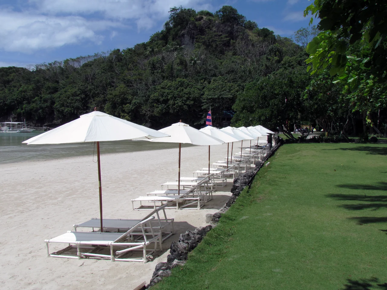
Taguilon, Talisay, and the Modern City
Beyond the heritage core, Dapitan stretches across fifty barangays -- eight urban, twenty-seven interior, thirteen coastal, and two on islands. Taguilon, home to the Dakak Park and Beach Resort, serves as a secondary port and fishing harbor where ferries shelter from storms in its protected cove. Mount Lalab offers views over the islets of Silinog and Balyangaw. Talisay, the barangay where Rizal lived, is now the site of the Jose Rizal Memorial Protected Landscape, a park of reconstructed bamboo houses and a museum containing the hero's blackboard and teaching table. The city is accessible by ferry from Dumaguete and Cebu City via the Port of Pulauan, or by a short shuttle from Dipolog Airport, just twelve kilometers away. Gloria's Fantasyland, the first amusement park in Mindanao, adds an unexpected note of whimsy to a city otherwise defined by history and devotion.
From the Air
Dapitan sits at approximately 8.65N, 123.42E at the mouth of the Dapitan River on Dapitan Bay, the northernmost point of the Zamboanga Peninsula on Mindanao. Dipolog Airport (RPMG) is approximately 12 km to the east-southeast. From the air, the city is visible as a coastal settlement where the river meets the bay. The Rizal Memorial Protected Landscape in Talisay occupies a hilly peninsula northwest of city center. At higher altitudes (10,000+ ft), the full sweep of the Zamboanga Peninsula becomes visible, with Dapitan at its northern tip facing the Sulu Sea.
Nearby Stories
- SS John Burke 15 km away
- Pamplona Massacre 49 km away
- 1995 Ipil Massacre 89 km away
- Japanese Cruiser Abukuma 90 km away
- 1955 Lanao Earthquake 98 km away
- November 2023 Mindanao Earthquake 334 km away
- Balut Island 394 km away
- Sinking of MV Sewol 2816 km away