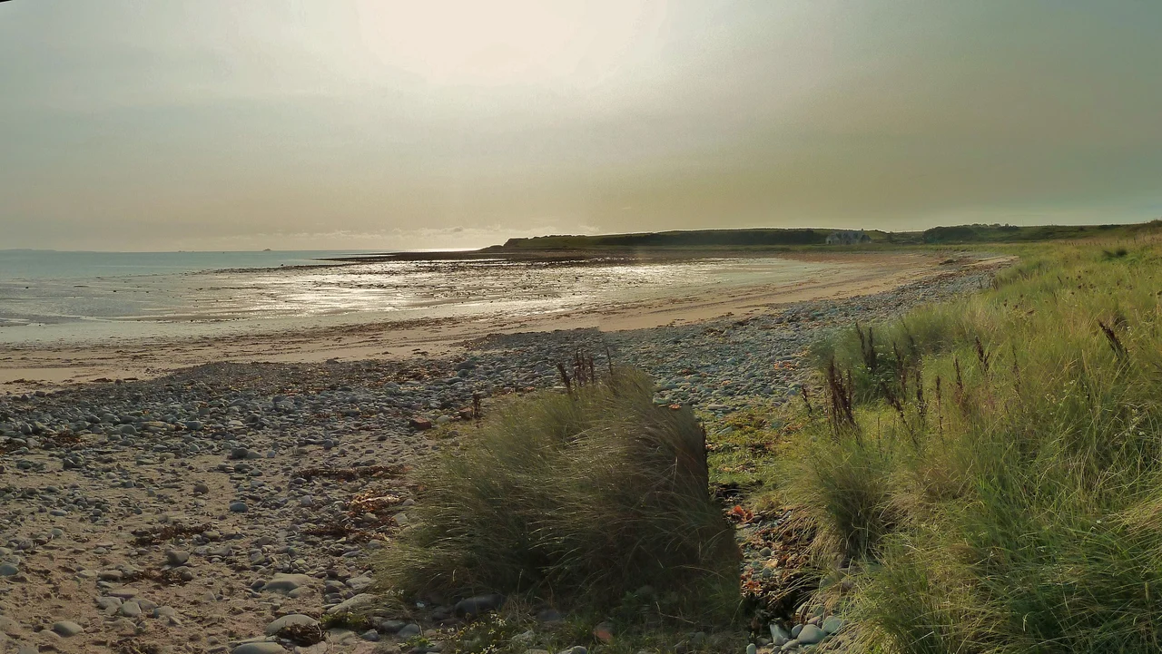

Drummore
Drummore is the kind of place that asks you to slow down. There are about 500 people, a hotel, a coffee shop on Mill Street, and one main road. North of you, the long peninsula of the Rhins runs back up towards Stranraer and eventually mainland Scotland. South, the road narrows further to the cliffs of the Mull of Galloway - the lowest point on the Scottish map. By Scottish standards this is the end of the line. By aviation standards it is the place you fly over to get to Northern Ireland. By the standards of the walkers who come here each summer, it is where everything begins.
Getting Here Takes Some Doing
Drummore is not on the way to anywhere. To reach it you turn off the A75 - the main road that hugs the southern Scottish coast between Carlisle and Stranraer - and take the A716 south along the eastern shore of the Rhins. Stranraer is 17 miles north, and that is where the buses and trains arrive. The Stagecoach 407 bus runs along the A716 from Stranraer via Lochans and Port Logan five times a day Monday to Saturday, taking 45 minutes for the trip. By car the route is straightforward. From Glasgow take the A77 south. From Carlisle or Dumfries take the A75 west. Either way you eventually find yourself on the A716, and the road narrows, and the sea opens up beside you, and Drummore appears around a curve.
What You Came to See
The Mull of Galloway is 3 miles south, at the actual tip of the Rhins. Scenic headland, lighthouse painted white in 1830, RSPB nature reserve full of seabirds in summer. On a clear day you can see Northern Ireland to the west and the Isle of Man to the south. Closer to hand sits Crammag Head on the western side of the peninsula, with views across to the Ards in Northern Ireland - there has been a lighthouse on the Head since 1913, though the current structure is a metal tower installed in 2009. Logan House Garden, 200 yards north of Logan village, is a Victorian woodland garden that has been closed since 2020. For sights further north along the Rhins, especially the harbour village of Portpatrick, you head back towards Stranraer.
The Mull of Galloway Trail
If you walk, this is the place to start. The Mull of Galloway Trail begins at the Mull itself and runs north up the east shore of the Rhins via Drummore and Sandhead to Stranraer - 26 miles in total. It crosses the Southern Upland Way along the way, which is the long-distance coast-to-coast route across southern Scotland. North of Stranraer the trail continues up the coast via Cairnryan and Finnart Bay to Glenapp, another 11 miles, where it links into the Ayrshire Coastal Path that runs another 100 miles up to Skelmorlie on the Firth of Clyde. The Mull-to-Stranraer leg happens to be very close to marathon distance, and a marathon is run on it annually each June, with a half-marathon from Ardwell to Stranraer for those who prefer a shorter dose of headwind.
Eating, Sleeping, Calling Home
The Queens Hotel in the village is the best bet for a meal - it doubles as the place most visitors end up staying. There is a primary school and a doctor's surgery, a post office and a general shop, the Ship Inn down by the shore, and the Mariners Coffee Shop for daytime business. The nearest golf course is up in Portpatrick. Mobile coverage is a quirk - as of May 2025, you might get 4G on EE but nothing on any other UK carrier, so finish any important calls before you leave the main road at Stranraer. The village runs on the rhythm of summer visitors and the lifeboat radio, and it has done both quietly for generations.
Going On From Here
If you want to head north next, the road takes you via Stranraer to Alloway near Ayr - the birthplace of Robert Burns - and ferries run from Ardrossan across to the Isle of Arran. Eastwards, the A75 takes you to Newton Stewart, then Dumfries, then Gretna and Carlisle, with the option of heading northeast into the Scottish Borders along the way. Or you stay put. The view from Drummore harbour, north-facing and sheltered by the Rhins from the prevailing southwest wind, is the view the locals know best. The fishing boats are mostly gone. The pleasure boats are still here. The sea is always there, doing what it always does.
From the Air
Located at 54.69°N, 4.89°W at the southern end of the Rhins of Galloway peninsula in Dumfries and Galloway, the southernmost village in Scotland. Drummore harbour faces north and is sheltered from the prevailing southwesterly wind. The Mull of Galloway lighthouse lies 3 miles south. Visible from cruising altitude in clear weather. Nearest airports: West Freugh (EGOY) about 12 nm north on the Rhins peninsula, with Prestwick (EGPK) further northeast on the Ayrshire coast for any longer trip. The MoD's Luce Bay weapons range lies immediately east of the village - check NOTAMs carefully. Cruise around 2,500-4,500 ft along the A716 corridor for a clear view of Luce Bay to the east, Northern Ireland across the water to the west, and the Isle of Man to the south.
Nearby Stories
- Kenmure Castle 7.1 km away
- SM UB-85 7.7 km away
- Plunton Castle 8.9 km away
- Portavogie 12 km away
- Battle of Glen Trool 18 km away
- International Institute of Space Commerce 19 km away
- St Bees Lifeboat Station 40 km away
- Dunaverty Castle 40 km away