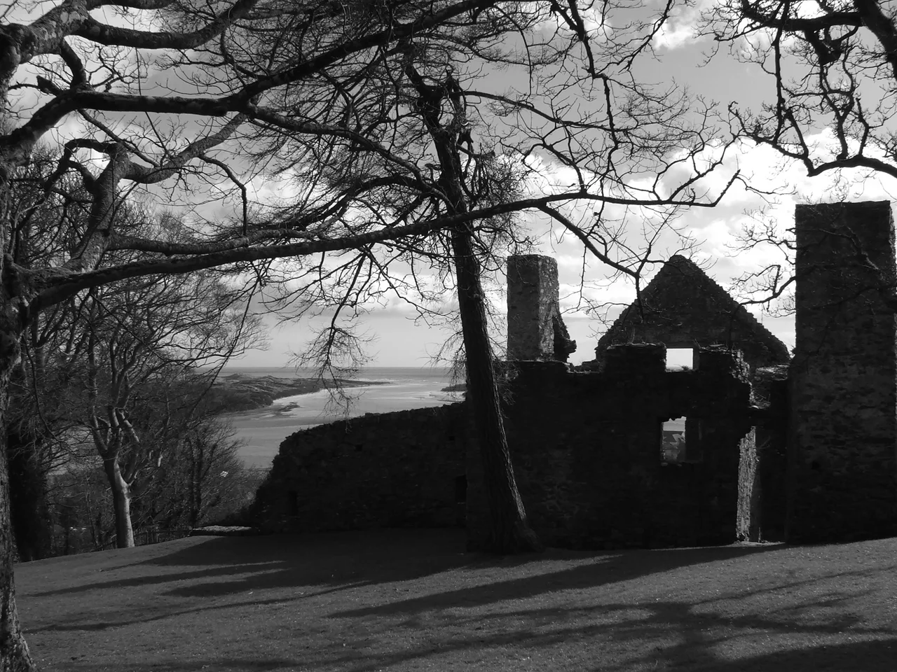

Dundrum Castle
John de Courcy had a habit of building things he could not keep. The Anglo-Norman knight who invaded Ulster in 1177 began throwing up a castle on this drumlin above Dundrum sometime near the start of the thirteenth century - earth, timber, then a stone curtain wall along the upper ward. He was expelled from Ulster in 1203 by his rival Hugh de Lacy, never to return. King John captured the place in 1210. By the time the castle had its third owner in a decade, the design that survives today was already taking shape: a massive round keep, a curtain wall, and a steep approach that any attacker would come to regret.
A Keep Built by Welsh Masons
Hugh de Lacy did not waste his prize. After King John handed him Dundrum, he set about strengthening it with a circular stone keep, probably hiring masons from the Welsh Marches where such towers were then in fashion. The keep originally rose at least three storeys - the surviving fireplace flue and the spiral stair confirm that scale. The basement stored supplies and held a cistern. The floor above was the great chamber where the lord ate, judged, and held court. Above that lay the private chamber, the lord's own retreat. Inside curved stone walls thick enough to absorb a siege, a feudal household lived stacked vertically like a fortified tower house. Some of the second floor was rebuilt in the fifteenth century, but the lower walls are still as the Welsh masons left them.
The Lopsided Gatehouse
When de Lacy returned from his second exile to take up his earldom again between 1227 and 1243, he or his successors added a twin-towered gatehouse modelled on the one at Pembroke Castle. The design has a quirk: only one tower projects to defend the approach, while the other is recessed into the wall. The result is a deliberately lopsided silhouette, but the asymmetry was strategic. Attackers climbing the narrow ramp from the southwest would meet flanking fire from the single projecting tower while the curtain wall above kept them in arrow range the entire way. A symmetrical gatehouse would have wasted defence on a flank that did not need it. The Earl of Ulster's masons were practical men.
The Mac Artains and the Magennises
After the earldom collapsed in the fourteenth century, the castle slipped into Gaelic Irish hands. The Mac Artáin chiefs of Kinelarty held it through the late fifteenth century and probably raised the stone curtain wall of the outer bailey, the lower enclosure that still ribbons around the hill. Sometime after 1333 their cousins the Magennis clan took over its management, and the place earned an alternate name - Magennis Castle - that locals used for centuries. The Earl of Kildare briefly seized it in 1517. Lord Deputy Grey took it again in 1538 during the Tudor reconquest of Ireland. By the time Cromwell's Commonwealth arrived, the castle's defensive day was already done, and the long slow business of becoming a ruin had begun.
What the Hill Sees Now
The drumlin that holds Dundrum Castle still commands the same view the Welsh masons surveyed in 1210. To the south the Mourne Mountains rise toward Slieve Donard, the highest peak in Northern Ireland. To the east Dundrum Bay opens to the Irish Sea, the tidal flats stretching wide at low water. Below the castle, the town of Dundrum has spread along the inner shore. The curtain wall still encloses what was the upper ward. The round keep, roofless now, still rises far enough to see over the trees. Visitors climb the same approach the besiegers once climbed and find the wind off the bay waiting at the top - a reminder that the castle was built not for comfort but for the long impossible work of holding Ulster.
From the Air
Dundrum Castle stands at 54.256N, 5.874W on a prominent drumlin above the town of Dundrum and overlooking Dundrum Bay. Best viewed from 1,500 to 3,000 feet on a southerly track, with Slieve Donard rising 5 nm southwest and the bay's tidal flats spreading east. Belfast City (EGAC) lies 24 nm north, Newtownards (EGAD) 18 nm northeast. The Mournes generate orographic cloud and turbulence on south winds - expect rotor effects on the lee side and rapid visibility changes.
Nearby Stories
- Newry 6 km away
- Comber 7.2 km away
- Castlebellingham 8.1 km away
- Lough Neagh 15 km away
- Pasages (steam trawler) 25 km away
- Calf of Man 35 km away
- German submarine U-1024 38 km away
- Mornington 41 km away