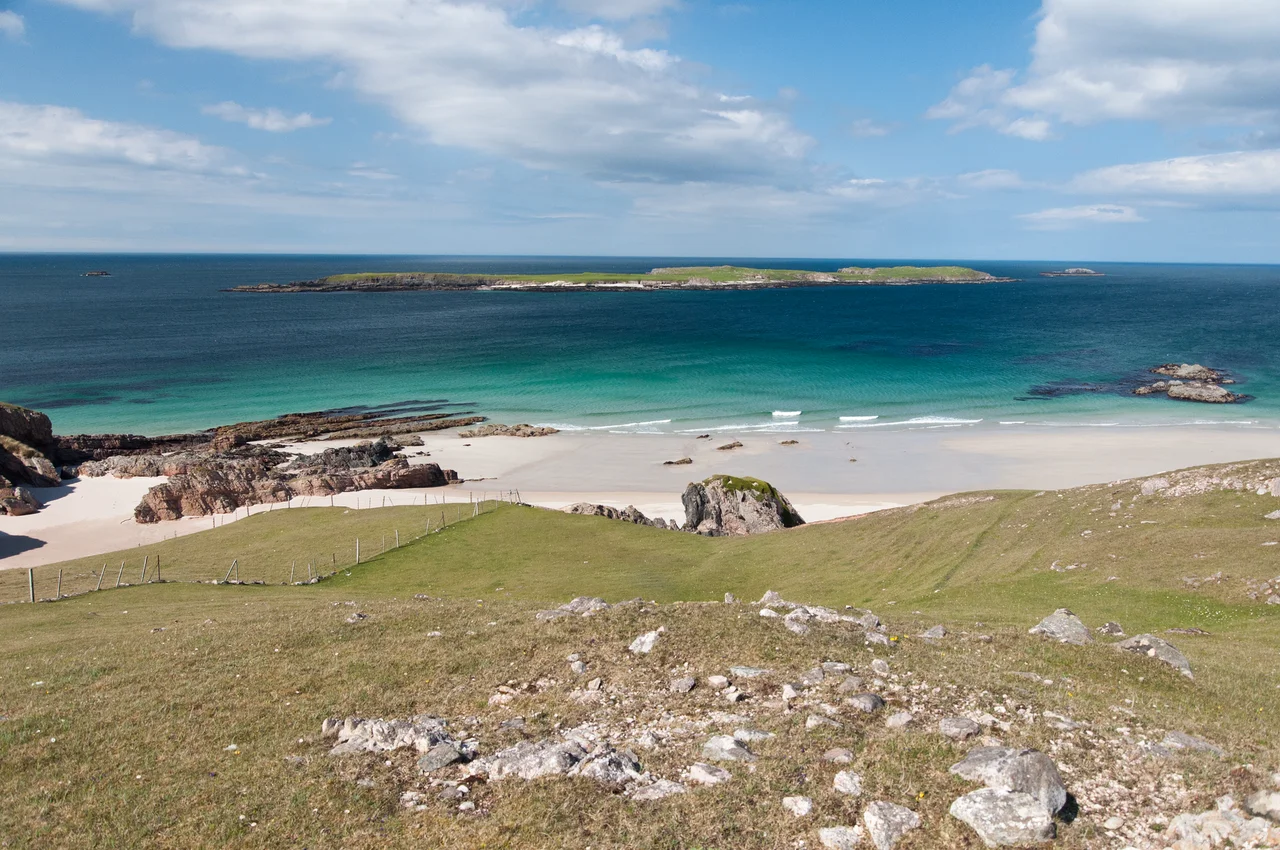

Durness
Most of Sutherland's north coast is impermeable gneiss carpeted in boggy heath - dark, wet, and slow to drain. Durness is the exception. The village sits on a patch of limestone, better drained and more fertile than the moor around it, and the limestone has been chewed by groundwater into caves. The largest one opens at the edge of the village: Smoo Cave, a sea-cliff entrance you can walk straight into, with a hidden inner chamber where a waterfall plunges through the roof. The population is 347. The North Atlantic is at the back door. Inverness is 100 miles away, and the road there is mostly single track.
The A838 and the Long Way In
The road to Durness twists and turns along the rugged coast and over the hills - 100 miles from Inverness, 65 from Thurso, much of it single track with passing places. The standing joke is that here, stray sheep dispute the right of way with mad bats in white vans. Bus 805 - the Durness Bus - leaves Inverness three times a week and takes three and a half hours. Bus 803 from Thurso runs on Saturdays. Mackay's filling station, opposite the Spar, pumps fuel 24 hours a day on card. It is the only fuel for many miles in any direction, and the locals will gently advise you to fill up at Ullapool or Thurso first if you can. There is no ATM in the village. The signal is 4G if you have EE, O2, or Vodafone. 5G has not yet reached the north coast.
Old St Peter's and the Cold War Craft Village
A mile west of the village, on a peninsula called Balnakeil, sits one of the strangest cultural complexes in Britain. Built as an early-warning radar station during the Cold War, the buildings were abandoned, then quietly handed over to craftspeople in the 1960s. Today Balnakeil Craft Village hosts Cocoa Mountain - probably the country's most northerly chocolate makers - alongside Balnakeil Glass, The Wee Gallery, and a scattering of other studios open from May to October. Just along the peninsula stands the ruin of Old St Peter's church, built in 1619 over the foundations of much earlier churches and abandoned in 1814. Viking remains, including human bodies, have been uncovered around Balnakeil as the dunes shift. The same wind that drives the chocolatiers' visitors back to their cars also strips away centuries of sand to reveal what was there before.
Smoo, Sango and Three-Billion-Year-Old Rock
Smoo Cave sits at the foot of the cliffs just east of the village, and you can walk into it without ticket or guide. The outer cavern is one of the largest sea cave entrances in Britain. An inner chamber holds a waterfall plunging through a sinkhole in the roof. The cave was used in prehistory, in the medieval period, and probably as a smuggler's hideout in between. Above the cave, the North West Highlands Geopark covers Durness, Kinlochbervie and Kylesku, and some of the bedrock here is over three billion years old - some of the oldest exposed rock in Europe. From Durness you can also catch the ferry across the Kyle of Durness for the eleven-mile minibus ride to Cape Wrath, or hike the unsigned, unsupported Cape Wrath Trail back to Fort William: 200 miles of bog, weather, and waymark-free wilderness.
From the Air
Located at 58.57 degrees north, 4.75 degrees west on the north coast of Scotland. Nearest controlled airfield is Wick (EGPC) approximately 55 nautical miles east; Inverness (EGPE) is about 95 miles south. From the air, look for the curving white beach of Sango Bay at the village edge, the green peninsula of Faraid Head extending north, and the long thin inlet of the Kyle of Durness running south toward Cape Wrath. Smoo Cave appears as a dark notch in the eastern cliff line. The Cape Wrath Training Area lies to the west across the Kyle - check NOTAMs. North Atlantic weather can change in minutes; persistent low cloud is the norm and gales arrive without much warning.
Nearby Stories
- HMS King Edward VII 10 km away
- Caithness and Sutherland Peatlands 12 km away
- Stoer Head Lighthouse 15 km away
- Kylesku Bridge 20 km away
- German submarine U-905 29 km away
- Broch of Borwick 52 km away
- Skara Brae 83 km away
- The Laki Eruption: The Volcano That Changed World History 895 km away