Eersel
In the year 712, a man named Aengilbertus - son of the late Gaobertus, with the approval of his brother Verengaotus - signed away the property of a domain called Ereslo to the missionary Saint Willibrord, who in turn handed it on to the Abbey of Echternach in Luxembourg. The scribe copying the charter into the Codex Aureus of Echternach made a small mistake and wrote Eresloch instead of Ereslo, but the name is recognisably the same place: the high ground in the Kempen now known as Eersel. Almost no other Dutch town has paperwork going back that far, signed by a saint, preserved in a Luxembourg gospel book.
Bronze Age, Burial Mounds, Eburones
Three and a half thousand years ago, the first people known to have lived in this corner of North Brabant built burial mounds - the sepulchre hillocks of the Tumulus culture. The Urnfield culture followed, and an urn full of cremation ashes turned up in a field called Schadewijk, between the modern church and the hamlet. Before the Romans arrived and renamed the region Toxandria, the Eburones - the Belgic tribe famous for ambushing a Roman legion under Sabinus and Cotta in 54 BC - lived here. Roman pottery shards still surface in the soil around the church. The Salian Franks, who took over in the 4th century, became known by the Roman name for the land: Toxandrians. When Rome receded the area emptied, and only the Franks' return around the year 700 reestablished a permanent community.
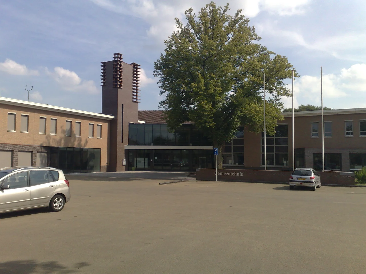
A Square Built for Carts and Horse-Trading
After 1203 the region became part of the Duchy of Brabant, and Eersel - sitting on the crossroads of the Leuven-'s-Hertogenbosch and Antwerp-Turnhout routes - found itself useful. Traders needed somewhere to stop, eat, sleep, and stable their horses. The old Frankish triangular court of the village called Hint expanded southward into a new oval square: de Markt, the Market. Around it grew taverns, boarding houses, stables, and a blacksmith. In 1325 Duke Jan III of Brabant granted Eersel town privileges - the right to elect its own governor - and made the town the head of a regional schepenbank covering nearby villages from Hapert to Borkel en Schaft. On 19 October 1967 the Markt and the Hint were declared a protected village, the medieval scale preserved against modern infill.
The Travelling Trade of the Teuten
After the Middle Ages the region got poorer, and from roughly 1500 to 1800 the villages of the Kempen barely grew. But people had to make a living, so a class of itinerant tradesmen arose - the Teuten. They were not gypsies; they kept their families and their houses in places like Eersel and travelled out from them. A Teuten man might leave for months at a time as a coppersmith, a wig-maker, or - more bracingly - as a veterinary castrator of horses, rams, bulls, and pigs. Others moved pottery, kitchen utensils, bed-clothes, linen, lace, silk and other textiles across the Low Countries and into Germany. Several of their houses still front the Markt today, modest brick fronts that once held the savings of long absences.
The Tower, the Chapel, and the Organ
Three buildings sketch most of the town's religious history. The Sint-Willibrorduskerk - the church of Saint Willibrord, namesake of the saint to whom Aengilbertus once gave the domain - had its first written mention in 1480, with a tower from the second half of the 14th century. Its monumental organ, restored in 1972 under realm-monument care, is a hybrid: ranks built in 1838 by Bernard Petrus van Hirtum of Hilvarenbeek combined with work by the Smits Brothers of Reek from 1852. The Chapel of Our Lady of Campina, the oldest building on the market, went up in 1464 in Gothic style. After the Peace of Munster the Protestant authorities closed it for mass and put it to bureaucratic use - as a council house, as a prison, as a fire-engine shed. It served as the town hall for three hundred years before returning to the church in 1948. The small Protestant church on the edge of town, simple barge-stone and built in 1812, has an arched ceiling that lends it surprising acoustics.
Cigars and the Postwar Boom
By 1900 the bush land around Eersel was being cleared and turned to farming, and a cigar industry took hold in the town. During the interwar economic crisis it was the cigars that kept unemployment manageable - hard work for modest pay, but work that did not disappear. Eersel remains one of the largest cigar-exporting towns in the Netherlands and a working presence in the international cigar trade. After the Second World War the population leapt from roughly 3,700 to about 12,500, the kind of growth most Brabant villages saw as the agricultural region modernised and commuting to Eindhoven became practical. The Markt, with its Teuten houses and chapel, looks much as it did before the boom - thanks to the 1967 protection order - even as the rest of the town stretched out around it.
From the Air
Coordinates 51.3572 N, 5.3147 E, in the Kempen region southwest of Eindhoven. Best viewing altitude 1500-2500 ft AGL. The protected oval Markt and the Sint-Willibrorduskerk tower are clear visual anchors; the surrounding farmland and pine forests of the Brabantse Kempen contrast with the urban sprawl to the northeast. Nearest airports: Eindhoven Airport (EHEH) 18 km northeast, Kleine-Brogel (EBBL) 23 km south in Belgium - mind military activity.
Nearby Stories
- Geertruidenberg Castle 4.8 km away
- Castle of Westerlo 7.6 km away
- Binnendieze 9.8 km away
- Hoogstraten Castle 9.9 km away
- Steyl 14 km away
- Kleve 17 km away
- Heinsberg-Lindern Railway 17 km away