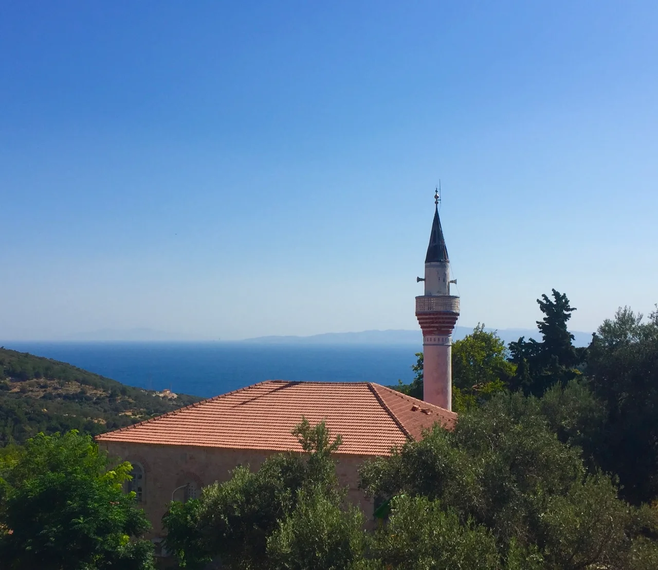

Eğlenhoca
Before she climbed onto the horse that would carry her to her wedding, the bride's father tied a red sash around her waist. Money was bundled into one end, and the sash had a name: the gayret kuşağı, the effort sash. It was a promise made of cloth, that this young woman would not be lazy in her new home. On her head she wore bay leaves dipped in gold. This was the marriage custom of Eğlenhoca, a hillside village on Turkey's Karaburun peninsula where, even now, fewer than five hundred people live among vineyards and olive groves that the İzmir municipality folds into its touristic Olive and Vineyard Routes.
Five Hundred Years on the Same Slope
The present village was founded around 1505, but people have lived on this land for far longer. A Paleolithic site has been reported just east of the village at Kemerdağı, and the fields nearby have given up Byzantine building stones, broken columns, and a carved relief, the scattered bones of older settlements. Eğlenhoca is known across the region for what its soil produces: Sultaniye and Razaki grapes, and the prized Hurma variety of olive. These are not abstractions but the actual livelihood of the place, the reason the village exists where it does, on dry slopes facing the sea, tending vines and herds as families here have done for twenty generations.
Houses Built to Survive the Earth
A traditional Eğlenhoca house tells you something about living on shifting ground. The lower walls are raised from yellowish-white rubble stone, the gaps packed with smaller stones and chips of brick and tile, all bound with mud mortar into walls up to eighty centimeters thick. Larger, more carefully shaped stones brace the corners, and timber ties run through the masonry for strength. The upper floor is lighter, its interior walls a timber lattice plastered with mud and straw, the roofs hipped or gabled and laid with curved tiles. As recently as 2019, fully 42 percent of the village's buildings were still of this traditional kind, though some had slipped into ruin. The thickness and the timber were not decoration. This is earthquake country.
When the Ground Shook
The land here has a long memory of violence. In 1949 an earthquake of the most severe intensity on the Mercalli-Sieberg scale struck the village and its surroundings, leaving houses uninhabitable. The disaster drew national attention: a delegation that included Celâl Bayar and Adnan Menderes — future president and future prime minister of Turkey, respectively — came to see the damage for themselves. Twenty years later, in 1969, another quake brought heavy destruction. Through all of it the village endured, its stone walls absorbing what they could, its people rebuilding what they had to. The population, which counted 687 souls in 1923, has been quietly declining since the 1960s, a slow emptying common to mountain villages across the Aegean.
The Mosque and the Water
Two structures anchor the modern village. The Eğlenhoca Mosque was begun in 1813 and not finished until 1846, a project measured in generations rather than years; its careful decoration came later, between 1899 and 1902. Rectangular in plan, with a flat wooden ceiling and a wooden dome, it was built to hold a congregation of just over two hundred, roughly the whole village at prayer. Southwest of town lies the Karaburun-Mordoğan reservoir, sometimes called Eğlenhoca Lake, whose dam was completed in 2007 and which is now the largest body of water in the district. Once, before the roads, the village reached the world by boat from a pier at Kösedere on the Gulf of İzmir. The Urla-Karaburun road, opened in 1933, finally tied this quiet vineyard village to the land.
From the Air
Eğlenhoca lies at 38.54°N, 26.57°E on the Karaburun peninsula in İzmir Province, Turkey, on dry hillside terrain facing the Aegean. Look for terraced vineyards and olive groves, the Karaburun-Mordoğan reservoir glinting to the southwest, and the Gulf of İzmir opening to the north and east. The nearest major airport is İzmir Adnan Menderes (LTBJ), roughly 90 km to the east. Best seen at low to medium altitude in clear weather, when the cultivated slopes stand out against the surrounding scrubland.
Nearby Stories
- Mastichochoria 8.3 km away
- 1883 Çeşme Earthquake 13 km away
- Volissos 14 km away
- St. Helena Church 15 km away
- Agios Isidoros, Lesbos 19 km away
- Eresos 37 km away
- Temple of Artemis at Ephesus 49 km away
- Akhisar Museum 67 km away