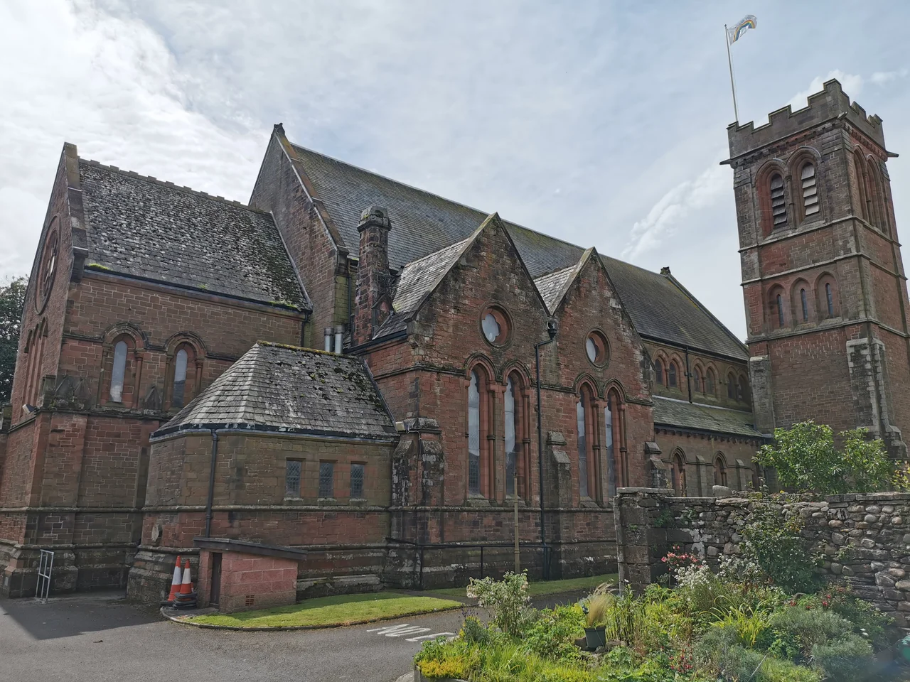

Egremont, Cumbria
Once a year, on the third Saturday of September, sane adults in this West Cumbrian market town pull faces so grotesque that strangers cheer. The World Gurning Championships, held inside a horse collar called a 'braffin,' is not a stunt invented for tourists. It descends, in a more or less unbroken line, from a market charter granted by King Henry III in 1266 or 1267, when the Lord of Egremont gave away crab apples to the poor at the foot of Main Street. Nearly 800 years later, the apples still get tossed, the high street still closes, and the gurners still climb under the collar to compete for the ugliest face in the world.
The Pointed Hill
The name itself comes from Old French: aigremont, meaning 'pointed hill.' That hill rises at the south end of Main Street, and on it sits Egremont Castle, begun around 1120 by William de Meschines when Henry I gave him the Barony of Copeland. It took roughly 150 years to finish. Before the Normans built in stone, the Danes had already raised a fort on the same outcrop near the end of the first millennium AD. The site has always been about a clear view down the Uldale valley and across the River Ehen toward the Irish Sea, with Dent Fell shoulder-blading behind. Egremont is just outside the Lake District National Park, close enough to feel its weather, far enough to keep its own working-town character.
Lords, Wolves, and a Drowned Boy
The barony passed through hands quickly in its early generations. Around 1205, Grunwilda, wife of Richard de Lucy, was reportedly killed by a wolf during a hunting trip - a story preserved in the medieval poem 'The Woeful Chase.' One of the strangest threads in Egremont's lineage is 'the Boy of Egremont,' grandson of the Scottish prince William Fitz Duncan, who died in childhood and left no male heir. By the fourteenth century the estate had passed by marriage to the Multons, then the Lucys, and finally to Henry Percy, 1st Earl of Northumberland, in 1369. It has stayed with the Percy family and its successors ever since - one of the longest unbroken aristocratic tenures in England.
Red Earth, Red Iron
For more than 800 years, Egremont's other identity was iron. Hematite, the dense red ore that makes the soil here run rust-coloured after rain, was mined industrially from about 1830, and the last working deep iron ore mine in Western Europe - the Florence Mine, just south of town - did not close until 2007. Florence ore was so pure it ended up in cosmetics and jewellery, not just steel. The pit head still stands; it is a listed building, and the old workshops are now the Florence Arts Centre. A co-operative called the Florence Paintmakers still grinds local iron pigment into oil paints, watercolours and pastels - the same earth that built the castle now goes onto canvas.
Sellafield and the Modern Town
Most of Egremont's modern story is bound up with what people locally just call 'the site.' Sellafield, the vast nuclear complex a few miles south, transformed the town from 1970 onward, drawing workers and rebuilding the housing stock. The town's character is industrial and quietly defiant. It absorbed the closure of mines and railways, the decline of textiles, the long winding-down of nuclear power and now its decommissioning. The Whitehaven, Cleator and Egremont Railway is gone, the station shut in 1947; the A595 bypass opened in 1990; the Crab Fair has weathered COVID and was paused in 2022 to mourn Queen Elizabeth II before returning in 2023.
A Town That Lost Two of Its Own
On 2 June 2010, Derrick Bird, a 52-year-old local taxi driver, drove through West Cumbria killing twelve people before taking his own life. Two of those killed were in Egremont. Communities like this one absorb that kind of grief differently than cities do - the dead are neighbours, the survivors recognise every face. The town carried on with its markets, its brass band (founded in 1904), its primary schools and its yearly fair. It is a small place; it knows itself. Musician Francis Dunnery of It Bites grew up here, scoring a UK top ten hit in 1986 with 'Calling All the Heroes,' as did rugby league hard man Martin Hodgson in the 1930s.
From the Air
Egremont sits at 54.484°N, 3.531°W on the West Cumbrian coastal plain, a few miles inland from the Irish Sea. Best viewed at 3,000-5,000 feet, the castle ruin and the long Main Street are visible as a single linear feature pointing toward the Uldale valley. The nearest civil airfield is Carlisle Lake District (EGNC) about 35nm north; Newcastle (EGNT) lies east across the Pennines. The Sellafield complex 5nm south is a major visual landmark, as is St Bees Head 4nm west, the only sea cliff on England's northwest coast.
Nearby Stories
- Gleaston Castle 2.3 km away
- Wrynose Pass 3.1 km away
- Ramsey Bay 8 km away
- Solway Firth 9.3 km away
- Caldbeck 10 km away
- Isle of Whithorn 10 km away
- Santon Railway Station 24 km away
- Walney Island 29 km away