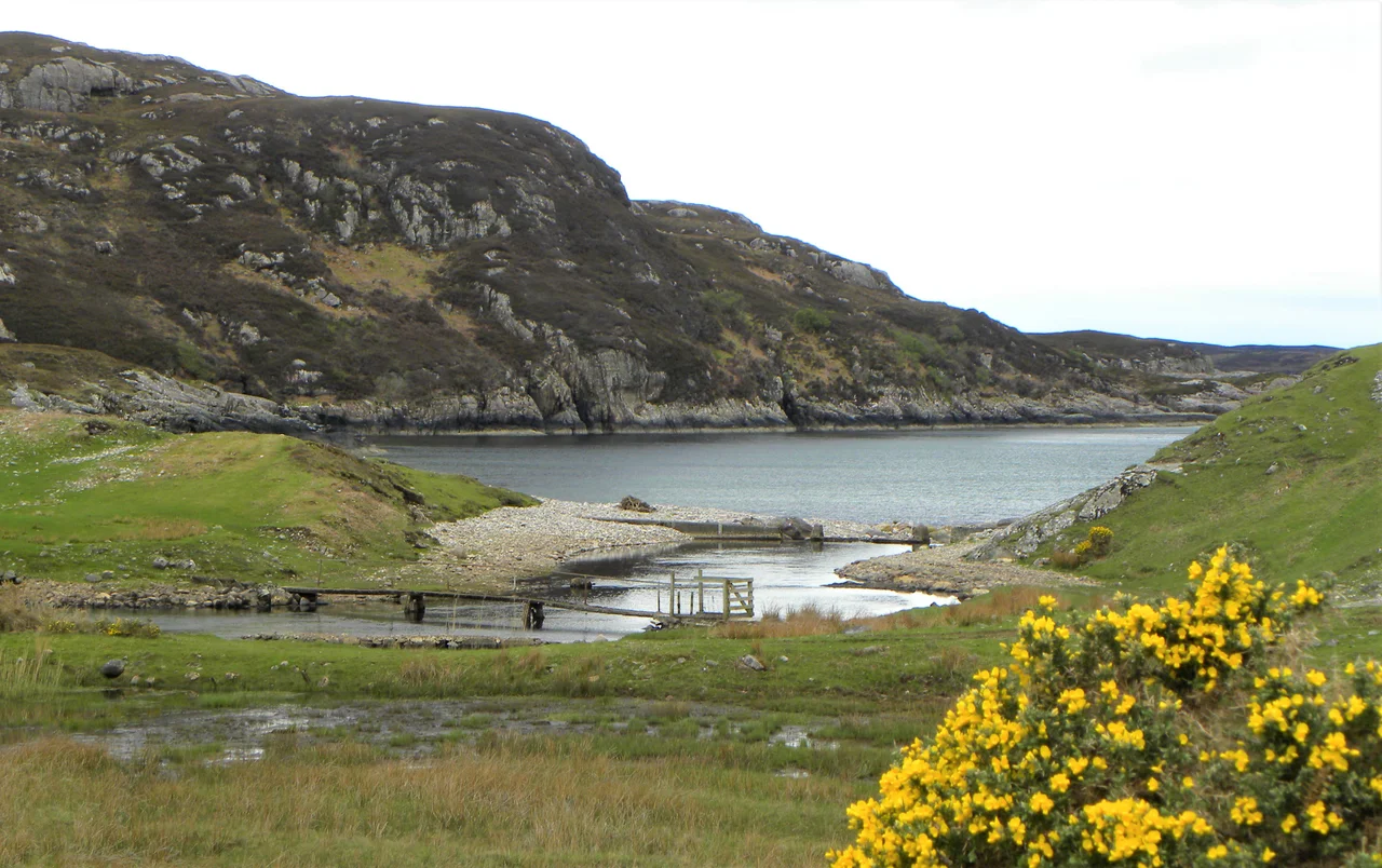

Enard Bay
From the air, the bay opens like a giant's bite taken out of Scotland's northwest coast - four and a half miles across, scattered with islands, and framed by some of the strangest mountains in Britain. Enard Bay sits 10.5 miles northwest of Ullapool, where the Coigach peninsula curls one way and the Assynt cliffs angle the other. Down at sea level, the water glitters around small green islands and runs into hidden sandy coves. From a thousand feet up, the whole tilted geography of the northwest Highlands becomes visible at once.
The Edges of the Bay
The bay is bounded by the Rubha Mòr peninsula running northwest to southeast in the south, with the Summer Isles archipelago scattered just beyond. To the north, the coast climbs toward Lochinver, the principal settlement on this stretch, tucked into its own inlet. Two larger sea lochs - Loch Inver and the bigger Loch Kirkaig - cut inland from the bay's northern edge. The mouth runs from Rubha na Coigeach (known in English as Ru Coygach) to Rubha na Brèige, or Kirkaig Point, on the eastern side. The names alternate between Gaelic and anglicised forms, a quiet record of which language reached which headland first.
Hidden Beaches
On the southwest coast, an inlet pushes inland from Achnahaird Bay, where a wide sweep of white sand catches the western sun. Eastward lies Garvie Bay, smaller but no less striking, its own crescent of sand backed by bracken-slopes. Beyond that, the coast crumples into Lag na Saille, then Polly Bay, where the River Polly - the largest of the fast little streams feeding the bay - empties past Green Island. Further still, the sea loch Loch an Èisg Brachaidh slips inland behind clusters of low rocky islets. These are beaches you reach by single-track lane and a walk down through machair grass, not by signposted car park. The reward is solitude on sand that, on a clear day, could pass for the Hebrides.
Islands in the Water
Eilean Mòr - simply 'big island' in Gaelic - sits in the northeast corner, the largest of the bay's scattered islands. Fraochlann Island lies less than a quarter mile to the north, and Eilean Mòineseach follows, smaller again. Green Island guards the southeast. None of them are inhabited; they are nesting grounds and seal haul-outs and waypoints for kayakers paddling out from Achnahaird. Looking inland from any of them, the unmistakable silhouette of Suilven rises across the bay - that 731-metre Torridonian sandstone whaleback that Norman MacCaig wrote poems about, a peak so distinctive that mariners used it for centuries to know where on the coast they were.
Quinag Across the Water
From Achnahaird, when the cloud breaks the right way, a glint of sunshine picks out the long ridge of Quinag across Enard Bay to the north. This is the John Muir Trust's mountain now - bought and protected in 2005 - and its three Corbett summits saw-tooth across the horizon. The view stitches the whole Assynt-Coigach National Scenic Area together: bay in the foreground, islands in the middle distance, ancient Lewisian gneiss bedrock everywhere underfoot, and Torridonian sandstone peaks rising in the distance. The rocks here are among the oldest in Europe. The landscape they make is one of the youngest, scraped down to its bones by the last ice age and left to weather in Atlantic wind.
From the Air
Enard Bay is at 58.10°N, 5.34°W. From cruising altitude, look for the cluster of small islands inside the bay and the distinct silhouette of Suilven rising to the northeast. Nearest airport is Inverness (EGPE), approximately 75 nm to the southeast. Recommended viewing altitude 2,000-4,000 ft to take in the full sweep of bay, islands, and the mountains of Assynt behind. Weather changes fast on this coast - clear mornings often turn to low cloud by afternoon.
Nearby Stories
- Dundonnell and Fisherfield Forest 10 km away
- Bayble Island 17 km away
- Ness, Lewis 20 km away
- Battle of Tuiteam Tarbhach 21 km away
- Loch Eriboll 22 km away
- Kinlochbervie 26 km away
- Skye Trail 27 km away
- Castle Leod 35 km away