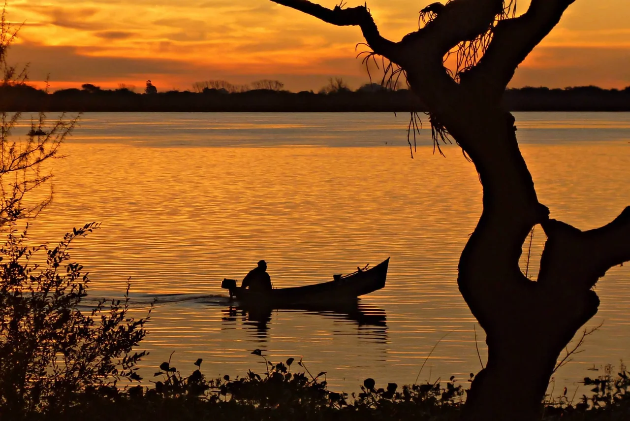

Esteros de Farrapos
There is no clean edge here, no firm line where land becomes water. The Río Uruguay loosens its grip, splits around two dozen low islands, and lets the marsh take over. Reeds stand in standing water. Willows lean over channels that braid and rejoin and dead-end into mirror-still ponds. This is Esteros de Farrapos, a national park stitched together from grassland that floods and recedes with the river's mood, and from the moment you push a boat into one of its serpentine channels, you understand why nobody bothered to draw a coastline.
Where the River Comes Apart
The park sprawls across more than 17,000 hectares on the Uruguayan bank of the river that separates the country from Argentina. Its full name spells out the geography precisely: Parque Nacional Esteros de Farrapos e Islas del Río Uruguay, the marshes of Farrapos and the islands of the Uruguay River. Twenty-four sedimentary islands rise just barely above the water, built grain by grain from silt the current dropped here over centuries. Grasslands cover them, threaded with riparian forest of willow, sarandí, and guava, and pocked with peat bogs and freshwater ponds. From above, it reads less like a riverbank than like a watercolor that ran before it dried.
A Wetland the World Watches
Farrapos carries a designation that places it on a global map of irreplaceable wetlands: it is a Ramsar site, recognized under the international convention as a wetland of genuine importance. The label is not decorative. These flooded grasslands and channels are nurseries and refuges, the kind of habitat that is vanishing across the continent. They filter water, buffer floods, and hold a density of life that dry land rarely matches. Standing among the sedges with herons stalking the shallows around you, the abstraction of an international treaty becomes something you can hear breathing.
The Company You Keep
More than thirty mammal species move through this landscape, among them the capybara, the world's largest rodent, grazing the wet margins in unhurried family groups. Rarer and stranger is the maned wolf, a tall, russet, long-legged animal that is neither wolf nor fox, picking its way through the grass on stilt-like legs. Birds are the headline act, though: over 200 species, from the stately great heron to the small snowy egret, with vultures riding the thermals above the water. Tegus, the big black-and-white lizards of the region, sun themselves on the banks, and in the channels swim surubí and golden dorado, prizes that draw anglers upriver.
Moving Through the Maze
There are two ways to meet Farrapos. One is by water, hiring a boat in the nearby village of San Javier and slipping into the channels to thread between islands and estuaries, the engine cut, the only sound the slap of water and the conversation of birds. The other is on foot, along the Sendero de los Senderos, a flat five-kilometer trail that branches toward points worth pausing over and takes two or three easy hours. Spring and fall are the kindest seasons, when temperatures hover between 12 and 25 degrees Celsius and rain stays scarce. The park charges no fee and asks for no permit. The river simply lets you in.
From the Air
Esteros de Farrapos lies at 32.72°S, 58.12°W on the Uruguayan side of the Río Uruguay, roughly 50 km south of Paysandú. From the air the park is unmistakable: a braided complex of low islands, looping channels, and standing water that contrasts sharply with the dry grassland and farmland inland. Best appreciated at lower altitudes (2,000-4,000 ft) where the 24 sedimentary islands and serpentine channels read clearly. The nearest airports are Tydeo Larre Borges (SUPU) at Paysandú across and upriver on the Uruguayan side, and Comodoro Pierrestegui (SAAC) at Concordia, Argentina, well upriver. Clear, calm conditions in spring or fall give the best light on the water; morning haze can flatten the channel patterns.
Nearby Stories
- Colegio del Uruguay 6.1 km away
- Fray Bentos 14 km away
- Atucha Nuclear Power Plant 112 km away
- Battle of Vuelta de Obligado 136 km away
- Battle of Sarandí 141 km away
- Cisplatina 157 km away
- Tacuarembó 182 km away
- Predelta National Park 185 km away