
Galbraith Mountain
It is a tree farm. That is the thing riders have to keep in mind while descending the best singletrack in Washington: the mountain under the tires is private industrial forest, and the trails exist because a succession of landowners has been willing to let them. Galbraith carries more than sixty-five miles of narrow dirt through three thousand acres of second-growth timber directly above Bellingham, and none of it was built by a parks department. It was cut, bermed, drained and maintained by volunteers, on land somebody else was logging. For most of the trail system's life, the whole arrangement could have ended with a signature.
Two Names, Two Summits
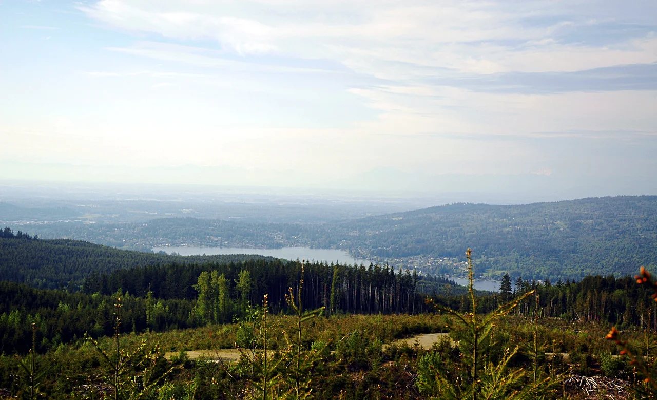
On the maps it is North Lookout Mountain; nobody calls it that. Galbraith sits between Lake Padden and Lake Whatcom, with the communities of Bellingham on one side and Sudden Valley on the other, and it has two main summits, 1,365 feet and 1,785 feet. Neither is the true high point of the Lookout Mountain massif, which is slightly awkward for the mountain's identity and completely irrelevant to its visibility - from across western Whatcom County, Galbraith is the wooded shoulder that closes off the eastern view. Four radio towers stand on it, three on the summit and one about a hundred feet below, which is how you identify it at a distance on a grey day. From the upper trails the ground falls away toward the city and Bellingham Bay, and the San Juans lie out beyond that in the afternoon light.
Built by the People Riding It
The trail network began in earnest with a group called the Whatcom Independent Mountain Pedalers - the WHIMPs, an acronym nobody chose by accident - who created and maintained the system under a 2005 contract with the landowner. Today the WMBC, the county's mountain bike coalition, builds and maintains all of it. The mountain is open to every kind of non-motorized use, and the two busiest ways on are Birch Street off Lakeway Drive and Galbraith Lane off Samish Way. Over the years the volunteers and the landowners together have furnished the place: kiosks, outdoor artwork scattered through the trees, a bike maintenance station for whoever needs it. It is an unusual thing to find on private industrial land - a recreational infrastructure assembled by unpaid people over two decades, with no guarantee it would still be there the following season.
Bought, Defaulted, Handed Over
For years the mountain belonged to the Trillium Corporation, about 3,125 acres of it. Then on 1 April 2010, rather than default on a loan held by Polygon Financial Partners, Trillium surrendered the property to Polygon outright. A few thousand acres of Bellingham's favourite mountain changed hands in a debt transaction, which is precisely the kind of event that makes handshake trail access feel thin. Meanwhile the logging never stopped. Active harvest continues on the flanks, and one visible consequence is that trails which once ran through closed forest now break repeatedly into open ground with long sight lines across the county. Riders have learned to read the mountain as a place in permanent revision - new cuts, new views, new soil, and the constant low-level awareness that the timber is the reason any of it is there.
Securing the Sixty-Five Miles
In 2018 the arrangement finally got teeth. The City of Bellingham, the Whatcom Land Trust and Galbraith Tree Farm LLC entered a purchase and sale agreement securing public recreational use of up to sixty-five miles of trail, and Bellingham City Council voted to approve it - protecting the mountain from future development while leaving it a working forest. It is a compromise rather than a conquest. Nobody turned Galbraith into a park; the trees will keep being cut and the trails will keep being rerouted around the cutting. But the thing that a generation of volunteers built with their own tools is no longer contingent on the mood of a creditor, and for a mountain that spent decades one balance sheet away from disappearing behind a gate, that counts as an ending worth having.
From the Air
Located at 48.689 N, 122.361 W immediately southeast of Bellingham, Whatcom County, Washington, between Lake Padden to the southwest and Lake Whatcom to the northeast. From the air it is a broad forested ridge with two summits at 1,365 ft and 1,785 ft, distinguished from the surrounding second growth by irregular clear-cut patches on its flanks and by four radio towers - three clustered on the summit, one about 100 ft below - which are the surest visual fix. Lake Whatcom, a long narrow lake running southeast into the foothills, is the dominant landmark; Bellingham Bay and the city grid lie west, the San Juan Islands beyond that, and Mount Baker (3,286 m) stands large to the east. Recommended viewing altitude is 3,000-5,000 ft MSL for the ridge and both lakes in one frame. Bellingham International (KBLI) is roughly 10 km northwest, with its controlled airspace and approach paths close by - check charts before manoeuvring near the towers. Skagit Regional (KBVS) is about 35 km south. Expect ridge-induced turbulence in a westerly, morning valley fog over Lake Whatcom, and excellent Cascade visibility on clear afternoons.
Nearby Stories
- San Juan Islands National Wildlife Refuge 5.5 km away
- Salish Sea 7.8 km away
- Utsalady, Washington 10 km away
- Nooksack, Washington 16 km away
- Mount Baker 23 km away
- Race Rocks Ecological Reserve 36 km away
- Snoqualmie Valley 74 km away
- Manning Provincial Park 91 km away