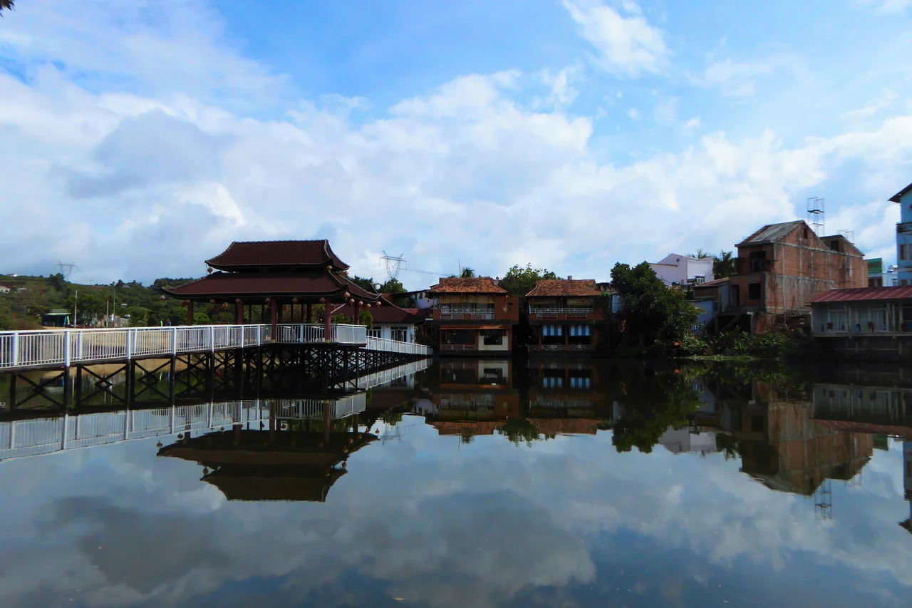

Gia Nghia
Nineteen ethnic groups live together in Gia Nghia. That single fact, easy to pass over in a list of administrative details, is actually the town's most interesting quality. Ma, M'Nong, Nung, Tày, Mường, H'Mông, Gia Rai, Ê Đê, and a dozen others share the streets of this small provincial capital in Vietnam's southwestern Central Highlands — along with the majority Kinh Vietnamese who moved in during more recent decades of internal migration. The town sits at the junction of highland geography and highland cultures, cooler and quieter than the cities to the south, its name pronounced something like Zee-on-gee-ah to a foreign ear.
A Highland Capital at the Southwest Corner
Gia Nghia serves as the administrative center of Dak Nong Province, one of Vietnam's younger provinces, carved from the southern portion of the older Dak Lak Province in 2003. The town sits in the southwestern reaches of the Central Highlands, a region that forms the broad interior plateau of southern Vietnam — elevated, forested, and historically home to dozens of indigenous peoples long before Vietnamese settlement pushed inland. At roughly 670 meters above sea level, Gia Nghia is noticeably cooler than the coastal lowlands and the Mekong Delta cities to the south. Ho Chi Minh City is 225 kilometers away; Buon Ma Thuot, the larger highland city to the northeast, is 120 kilometers. The road connections are real but not fast — and the town has benefited from that distance, remaining cleaner and less congested than places more easily reached.
The Rhythm of Rain
The Central Highlands live by two seasons, and Gia Nghia is no exception. The rainy season runs from April through October — seven months during which the southwestern monsoon delivers about 80 percent of the year's rainfall. The landscape responds visibly: waterfalls fill and roar, the rivers run high, and the hillsides flush a deep, saturated green. Then November arrives and the dry season begins, bringing clearer skies and the gradual browning of the grass. For travelers, this rhythm matters practically. The dry season opens up the roads and makes the waterfalls in the surrounding area more safely accessible. The rainy season turns those same roads to mud but rewards visitors with a landscape in full vegetative intensity — the kind of green that travelers from drier climates find almost disorienting.
Waterfalls in Every Direction
The terrain around Gia Nghia is generous with waterfalls. Dieu Thanh Waterfall, Three Floor Waterfall, Dak Nong Waterfall, Virgin Waterfall, Dray Sap, Gia Long — the list runs long for a modest-sized province, testament to the way the highland plateau edge drops away in a series of escarpments and river gorges. The Krong No River winds through the landscape, feeding both the agricultural valleys and the ecosystems of the Nam Nung Nature Reserve to the north. The Jubat Plateau offers wide views across the highlands toward the forested horizon. Lake Ea Sno provides a quieter, still-water counterpoint to all that moving water. None of these places are heavily developed or well-signed in multiple languages — reaching them typically means hiring a motorbike or finding a local guide, which is most of what travel in Gia Nghia amounts to: a set of conversations, directions, and improvised routes.
What Grows Here, What Gets Cooked
The Central Highlands have their own food culture, shaped by altitude, by the diversity of peoples who have farmed here, and by ingredients that simply do not grow in the lowland heat. Bitter cacao — harvested and processed from cacao trees grown in highland shade — has a roasted depth that mass-produced chocolate doesn't approach. Giang leaf sour soup uses the young shoots of a native bamboo-like plant to add a tart, mineral quality to broth. Lam rice is cooked in bamboo tubes over an open fire, a technique with roots in highland indigenous cooking traditions that produces a slightly smoky, subtly flavored rice unlike anything cooked in a pot. These dishes appear at local restaurants and in market stalls, often without much fanfare. They are not tourist food. They are what people eat.
Getting Here, Getting Around
Buses run to Gia Nghia from Ho Chi Minh City's Eastern Bus Station, a journey of roughly five to six hours depending on the route and stops. The road climbs from the lowlands through increasingly forested terrain before arriving at the highland plateau. Within town, a motorbike is the practical answer — the streets of the center are walkable, but anything beyond requires wheels. Renting a motorbike for a day opens up most of what the province has to offer. Taxis serve the town as well, useful for airport runs or longer routes. Gia Nghia is not a destination that has packaged itself for easy consumption; it rewards visitors who are comfortable with ambiguity, with asking directions, with not knowing exactly where they're going until they get there.
From the Air
Gia Nghia lies at 11.98°N, 107.70°E in Vietnam's Dak Nong Province, on the southwestern edge of the Central Highlands plateau. From the air, the town is recognizable as a small urban cluster set among forested hills, with the plateau's characteristic flat-topped terrain visible to the north and the escarpments falling away toward the lowlands to the south and west. The nearest airport is Buon Ma Thuot (VVBM), approximately 120 km to the northeast — the main regional gateway for the Central Highlands. Tan Son Nhat International Airport (VVTS) in Ho Chi Minh City is roughly 225 km to the south. The Krong No River is a useful navigation landmark visible as a dark forested corridor from altitude in clear conditions.
Nearby Stories
- Duc Lap Camp 16 km away
- Sen Monorom 16 km away
- Đà Lạt Plateau 18 km away
- Bù Gia Mập National Park 21 km away
- Bao Loc 28 km away
- Bidoup Núi Bà National Park 28 km away
- Cat Tien National Park 49 km away
- Phan Rí Cửa 74 km away