Great East Road
Look at a map of Zambia and you will see the problem. The Eastern Province dangles off the rest of the country like a narrow sleeve, pinched between Mozambique to the south and Malawi to the east. To its north-west lies the Luangwa Valley, a wildlife wilderness so wild that no highway crosses it. For colonial administrators in the 1920s, this geography was an embarrassment. Mail and passengers from Livingstone, then the capital, traveled to Fort Jameson by train through Bulawayo and Beira, then on to Blantyre, and finally by road. The Eastern Province had to be reached through other countries entirely. The Great East Road was built to solve that.
A Road That Chose a Capital
When the first Great East Road pushed eastward from Lusaka in 1932, Lusaka was still a small railway town. The territorial capital sat two days away in Livingstone. But here at this nondescript junction, a north-south railway line now crossed two Great Roads, the Great North and the newly opened Great East, and that accident of geometry changed Zambian history. Three years later, in 1935, the colonial authorities moved the capital to Lusaka specifically because of the junction. Roads normally follow cities. In this case, a city was chosen because of a road. Before the pavement arrived, the only direct route east had been a 1929 track that crossed the Lunsemfwa and Luangwa Rivers on pontoons lashed together from dugout canoes, an improvisation that would not have amused cabinet ministers.
The Strategic Neck
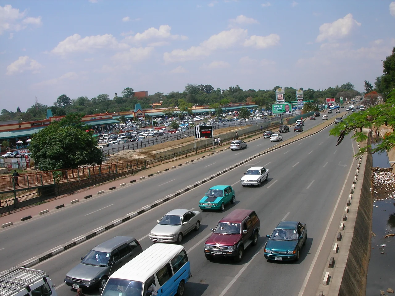
Designated T4 on Zambia's road network, the route begins at a roundabout north of Lusaka Central and heads eastward as the main artery of the capital's eastern suburbs. It passes Manda Hill Mall, Arcades Mall, East Park Mall, and the main campus of the University of Zambia before brushing past Kenneth Kaunda International Airport in the Chelstone suburb. After that, the city falls away. The road threads through a narrow neck of land that forms the only gap between the Luangwa Valley wilderness and the borders with Mozambique and Malawi. Planners call this neck strategically vulnerable, and with good reason. If the Great East Road were ever cut, the Eastern Province would again depend on neighbors for its supply lines, just as it did before 1932.
The Luangwa Crossing
The single most dramatic moment on the T4 is the Luangwa Bridge, where the road leaps the Luangwa River at the edge of Rufunsa District. The current span has carried traffic for decades and become an increasingly anxious bottleneck. In 2022 the Zambian Cabinet approved construction of a new Luangwa bridge, a project with an estimated cost of around 75 million US dollars backed by a Japanese grant. Just west of the bridge, the D145 branches off to the south, hugging the Luangwa River for 85 kilometers until it reaches the town of Luangwa at the confluence of the Luangwa and the mighty Zambezi. It is the only road into that river town, a dead-end spur into some of the loneliest country in Zambia.
Chipata and the Gates to the Park
At the eastern end of the T4 sits Chipata, capital of the Eastern Province and for most of the colonial era the frontier outpost known as Fort Jameson. From a junction just north-west of Chipata, the M12 strikes north along the Malawi border for 173 kilometers to Lundazi, threading through Chipangali and Lumezi Districts. Another branch, the D104, runs northwest past Chipata Airport into Mambwe District and on toward Mfuwe, gateway to South Luangwa National Park, roughly a hundred kilometers away. For travelers, the Great East Road is the spine from which all these adventures hang. For the farmers, traders, and families who actually use it, it is the only way home.
What the Road Means
The Great East Road does not carry the tonnage of Zambia's copper-hauling highways. It passes through rural country, wilderness, and long stretches where another vehicle can be a rare event. Yet it is the country's main overland link to Malawi, its route to the Mozambican port of Beira, and the lifeline for more than a million people in Eastern Province. To drive it end to end is to watch Zambia change character, from the bustle of Lusaka's malls to the thatched villages around Luangwa, from baobab country to the maize fields of the Chipata plateau. It is also to travel, section by section, the road that made Lusaka the capital of a country.
From the Air
The Great East Road runs roughly east-north-east from Lusaka at 15.41 degrees South, 28.30 degrees East, climbing the Zambian plateau at around 1,200 meters elevation. From a cruising altitude of 5,000 to 8,000 feet above ground, the paved ribbon stands out against red soil and green miombo woodland, especially where it crosses the Luangwa River gorge. Kenneth Kaunda International Airport (FLKK) near Lusaka and Chipata Airport (FLCP) at the eastern terminus are the bracketing ICAO references. Clear visibility is common in the dry season from May through October.
Nearby Stories
- Northern Rhodesia 13 km away
- Rhodesia (region) 15 km away
- Lusaka Province 19 km away
- Mazabuka 25 km away
- Chirundu Bridge 44 km away
- Zambezian flooded grasslands 80 km away
- Kafue Flats 81 km away
- Lukanga Swamp 101 km away