
Great Fire of Valparaíso
Valparaíso climbs. The city's poorer neighborhoods cling to steep hills above the harbor, a maze of brightly painted houses, wooden stairways, and narrow lanes too tight for a fire engine. That same geography, so photogenic from the bay, turned deadly on the afternoon of 12 April 2014. At 4:40 in the wide-open scrubland near Camino La Pólvora, a wildfire took hold. Within hours it had leapt from the dry hills into the homes packed along their flanks, and by the time it was beaten down, fifteen people were dead and thousands of families had nothing left but ash.
How a Brush Fire Becomes a Catastrophe
It started in the open country southeast of the city, in grassland, scrub, and stands of eucalyptus near the El Molle dump. Investigators were never fully certain of the spark - the police suspected human involvement, while one early theory blaming birds on a power line was ruled out by the electricity company. The cause mattered less than the conditions. Eucalyptus burns hot and throws embers far ahead of itself, and a hill town offers a fire endless fuel and few firebreaks. Authorities declared a red alert almost at once, but the flames outran every measure. They climbed the ravines, jumped the lanes, and turned whole hillsides of homes into a single moving wall of fire.
The Hills That Burned
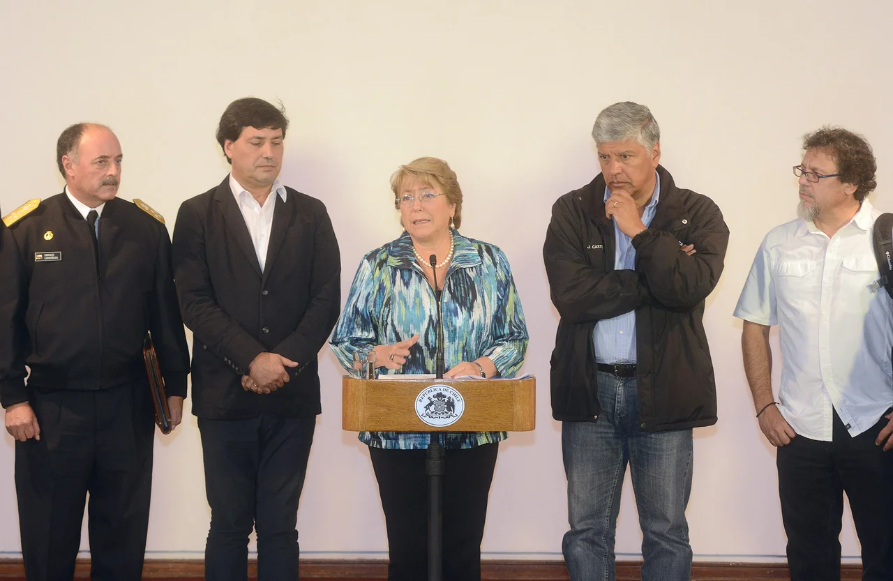
The fire fell hardest on the people least able to absorb it. The hardest-hit neighborhoods, on the Mariposa and La Cruz hills, were among the city's most impoverished - dense clusters of self-built houses where families had spent decades carving a foothold into the slope. Around 850 hectares of vegetation burned, and roughly 3,300 homes were ultimately destroyed, leaving some 11,000 people homeless and forcing 6,000 more to flee. To make a terrible night worse, the city lost power at least six times between evening and the small hours, plunging the rescue into darkness and emptying streets that opportunists then looted. President Michelle Bachelet, calling it possibly the worst fire in the city's history, sent word to 'all those hundreds of families who lost their homes, their things, and in some cases, their loved ones.'
A City Fights Back
The response was vast and stubborn. The government declared Valparaíso a disaster zone and invoked a constitutional state of exception, putting the army on the streets to keep order while the fire still raged. Twelve helicopters and three air tankers worked the hillsides on the first day; by the third, around twenty-one aircraft were in the air. On the ground, roughly 3,500 people - forestry crews from CONAF, firefighters, police, soldiers, and medics - fought the flames, sometimes at real cost. Two fire engines collided racing to the scene, injuring two of the crews. Trucks rolled in carrying mattresses, blankets, water, and food for survivors sheltering in three schools and a Catholic church, while the Chilean Red Cross launched a relief campaign with a name that doubled as a vow: Everyone with Valparaíso and Its People.
What the Ashes Left Behind
Grief reached well beyond Chile. Condolences arrived from Argentina, Colombia, Mexico, Spain, and Panama; Pope Francis sent his own message of solidarity. But the lasting story belongs to the hills themselves. The fire exposed how thousands had come to live on unstable, fire-prone slopes with little protection, and it forced hard questions about how a UNESCO World Heritage city - famous for its funiculars, its murals, and its tumbling color - should rebuild without simply waiting for the next blaze. Valparaíso recovered, as it always has, by climbing again. The painted houses returned to the cerros. So, eventually, did the people who make them more than a postcard.
From the Air
Valparaíso sits on the central Chilean coast at roughly 33.09 degrees south, 71.63 degrees west, wrapped around a natural amphitheater of harbor and hills. From the air the city's structure is unmistakable: a flat commercial 'plan' along the waterfront, then dozens of steep cerros rising sharply behind it, with the brush-covered gullies of Camino La Pólvora reaching inland to the southeast where the fire began. The nearest major airport is Santiago's Comodoro Arturo Merino Benítez International (SCEL), about 110 km east; Viña del Mar's Rodelillo strip (SCRD) is closer. Approach from over the Pacific for the classic view of the harbor and the ranked, colorful hillsides. Afternoon coastal winds that fanned the disaster still funnel through these same ravines.
Nearby Stories
- Casa de Isla Negra 14 km away
- Puchuncaví 20 km away
- Battle of Maipú 25 km away
- Battle of Chacabuco 35 km away
- Paso Internacional Los Libertadores 86 km away
- Constitución, Chile 218 km away
- Santa Olga 258 km away
- 1687 Peru Earthquake 2001 km away