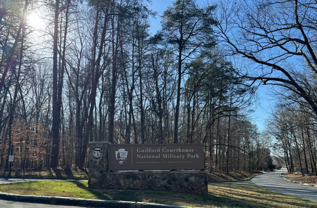

Guilford Courthouse National Military Park
Cornwallis won the battle. Then he lost the war. On March 15, 1781, the British general held the field at the end of a brutal afternoon in the Carolina backcountry, and by any conventional measure of the day, that meant victory. But more than a quarter of his army lay dead or wounded across the rolling Guilford hills, and the redcoats who could still march were too few to chase Nathanael Greene's escaping Continentals through the pine woods. Seven months later, Cornwallis would surrender at Yorktown. The road to that surrender begins at 2332 New Garden Road, just north of downtown Greensboro, where 250 acres of preserved battlefield now form Guilford Courthouse National Military Park.
A Pyrrhic Afternoon
Greene chose the ground carefully. He arranged his army in three lines stretched across the wooded ridges, knowing the British would have to fight through each in turn. The first line, militia from North Carolina, fired one volley and melted into the trees. The second, Virginia militia, held longer. The third, hardened Continentals, met the redcoats in close combat that became hand-to-hand. Cornwallis, watching his guards regiment buckle under American bayonets, ordered grapeshot fired through his own men to break the Americans loose. The Continentals withdrew in good order. The British were left holding ground they had paid for in blood they could not replace - a textbook Pyrrhic victory that hollowed out the southern army Britain still needed to win the war.
The Quaker Who Made It Happen
David Schenck saw the field in 1886 and refused to let it disappear. The Greensboro lawyer chartered the Guilford Battle Ground Company the next year, bought up acreage piece by piece, and eventually handed 125 acres to the federal government for free. Congress accepted the gift in 1917, making this one of the first National Military Parks in the country. Schenck's gift came with quirks - he beautified the terrain rather than restoring it, and his interpretation of where the lines stood was shaped by which landowners would sell to him and which would not. Generations of monuments went up in spots that turned out to be wrong. Modern park historians have since rewritten the map, pushing the American third line back and locating the battle's last shots well south, in what is now Greensboro Country Park. The corrections matter, but the gratitude lingers: without Schenck, this ground would now be subdivisions and shopping centers.
Stone Men in the Woods
Walk the battlefield today and you meet a parade of granite and bronze. There is Nathanael Greene on horseback, the Rhode Island Quaker who lost almost every battle he fought in the South yet bled the British dry doing it. There is William Hooper, the North Carolina signer of the Declaration of Independence, who is buried here though he never fought in the battle. There is the Maryland Line monument, dedicated by the state's historical society in 1892, honoring the Continental regulars who broke the British guards. The newer interpretive trails wind through hardwood forest that has reclaimed the open fields the soldiers fought across. Joggers and cyclists share the bike path that now links the park to Greensboro Country Park - a small civilian afterlife for ground once raked with musket fire.
Why It Mattered
Cornwallis spent the weeks after Guilford Courthouse limping toward the coast to refit. Greene swung south to retake the Carolinas piece by piece. Unable to hold the interior, Cornwallis marched his depleted army into Virginia, hoping for a decisive blow. He cornered himself instead on a peninsula called Yorktown, where a combined American and French force, backed by the French fleet on the Chesapeake, forced his surrender on October 19, 1781. Charles James Fox stood in the British House of Commons after Guilford Courthouse and said, 'Another such victory would ruin the British army.' He was right. The end of the empire's American war passed through these Carolina pines first.
Visiting the Ground
The park sits inside the modern street grid of Greensboro - apartment complexes press against the boundary, and traffic on Battleground Avenue hums close by. Inside the gates, the noise drops away. A visitor center anchors the route, and a paved loop drive connects the major monuments and tour stops. Spring and fall reenactments bring black powder smoke drifting through the trees on the battle's anniversary. The park is designated a National Historic Landmark, joining a small list of Revolutionary War sites whose preservation is considered nationally essential. It is, in the Park Service's quiet phrasing, redeemed from oblivion.
From the Air
Coordinates 36.1314 N, 79.8464 W, elevation roughly 800 feet, in the rolling Piedmont just north of downtown Greensboro. The park forms a green rectangle visible from low altitude, hemmed in by suburban Greensboro on all sides. Nearest tower-controlled field is Piedmont Triad International (KGSO/PTI), about 7 nm west. Charlotte Douglas (KCLT) is the primary diversion airport 75 nm southwest; Raleigh-Durham (KRDU) lies 65 nm east. Class C airspace surrounds PTI; expect VFR transit through the Piedmont Triad to need flight following.
Nearby Stories
- Battle of Shallow Ford 4.9 km away
- Pyle's Massacre 8.1 km away
- Caswell County, North Carolina 9.2 km away
- Chang and Eng Bunker 13 km away
- Mebane's Bridge 23 km away
- North Carolina Aviation Museum 25 km away
- Thomas Gillespie 26 km away
- Deep River Camelback Truss Bridge 37 km away