
Hawkins County, Tennessee
In 1797, Louis Philippe traveled across upper East Tennessee and stopped at William Armstrong's estate on the Holston River. He was, at the time, a French aristocrat in exile, the eldest son of a duke executed in the Revolution. Thirty-three years later he would become King of the French. He almost certainly did not know that the rough frontier county he was crossing had been named the previous decade for Benjamin Hawkins, a North Carolina senator with a parallel preoccupation: serving as the federal government's chief diplomat to the Cherokee, Creek, and Choctaw nations. The county still bears Hawkins's name, the future king moved on, and the Holston kept rolling toward the Tennessee.
Land Grant and Founding
Armstrong received the land that became Hawkins County as a North Carolina land grant in the 1780s, back when North Carolina still claimed everything west to the Mississippi. He built Stony Point, his fortified home in what is now Surgoinsville. When the county was formally established in 1787, it was named for Benjamin Hawkins, then a U.S. senator from North Carolina. Hawkins later served as principal agent to the Indian tribes south of the Ohio River, a long and complicated career that placed him at the center of federal policy toward the southeastern nations. The county that bears his name sits at the heart of country he negotiated treaties about, though he likely never set foot in it. By the time Tennessee became a state in 1796, Hawkins County was already established, the Wilderness Road was bringing settlers through, and Armstrong's estate was on the itinerary of visiting European nobility.
Rogersville and Big Creek
The county seat, Rogersville, was founded by Joseph Rogers, whose father-in-law Thomas Amis had built a fortified stone inn on Big Creek two miles east in 1780-1782. The Amis House, listed on the National Register in 1973, ranks as one of the oldest buildings in East Tennessee. Rogersville grew around its location at the intersection of multiple frontier roads. Today it is a town of roughly 4,500 people, the seat of Hawkins County's government, and home to the second-oldest newspaper in continuous publication in Tennessee, the Rogersville Review. The town keeps its nineteenth-century brick downtown largely intact, a survival made possible because economic growth here was modest enough that the buildings were never torn down for something newer.
Bays Mountain and the Hawkins County Landscape
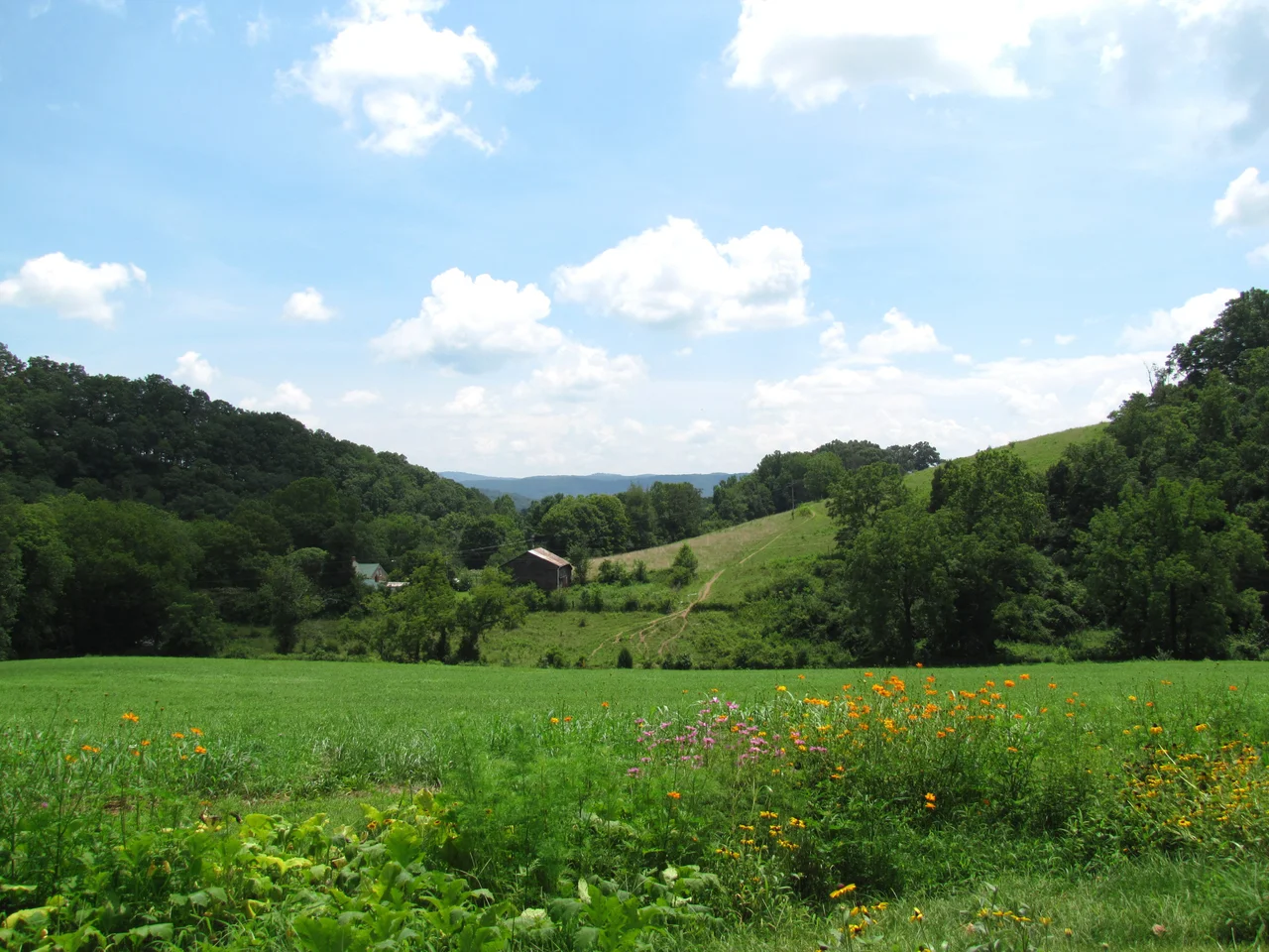
Hawkins County covers 500 square miles in the upper Holston Valley. Bays Mountain, a Ridge-and-Valley range, rises in the southeastern corner. Clinch Mountain runs along the northwestern edge, a long unbroken ridge separating the county from the more remote upcountry of Hancock County. Big Creek and the Holston River cut the valleys between. The county's population was 56,721 at the 2020 census, growing modestly, mostly concentrated in the small cities of Rogersville, Church Hill, Mount Carmel, and the Hawkins County portion of Kingsport. Sixty-two percent of residents lived in rural areas, a high figure even by East Tennessee standards. The county is part of the Kingsport-Bristol metropolitan area and the broader Tri-Cities region.
Trail of the Lonesome Pine
State Route 70, which runs through Hawkins County, carries the regional moniker Trail of the Lonesome Pine, borrowed from John Fox Jr.'s 1908 novel of the same name. The book, set in the Cumberland mountains during the coalfields' opening, became one of the best-selling American novels of its time. Hawkins County sits east of the coal country the novel describes, but the regional identification has been embraced. A separate hiking trail of the same name was proposed in the 1970s to run the length of Clinch Mountain, including a long stretch through Hawkins County. Construction was nearly complete here before adjacent Grainger County property owners blocked the project, killing the whole plan in 1981. What remains is the road, the name, and the memory of what almost was.
Flight Context
Centered at 36.44 degrees north, 82.95 degrees west, in the upper Holston Valley of East Tennessee. The county sits between Clinch Mountain (north) and Bays Mountain (south), with the Holston River system draining toward Kingsport. Hawkins County Airport (KRVN) is the local field, six nautical miles northeast of Rogersville. Tri-Cities Regional Airport (KTRI) lies about 25 nautical miles northeast at the Tennessee-Virginia line. Recommended viewing altitude 5,500 to 7,500 feet MSL for the valley structure, higher if crossing Clinch Mountain. The Bays Mountain range marks the southern boundary and is easily identifiable from altitude. Watch for valley wind funneling and afternoon convection.
From the Air
Coordinates 36.44N, 82.95W. The county lies in the upper Holston Valley between Clinch Mountain (N) and Bays Mountain (S). Nearby airports: KRVN (Hawkins County) 6 nm NE of Rogersville, KTRI (Tri-Cities) 25 nm NE. Recommended altitude 5,500-7,500 ft MSL for valley flying, higher for ridge crossings. Watch for downslope winds off Clinch Mountain on north winds and afternoon convection in summer.
Nearby Stories
- Bristol Motor Speedway 4.6 km away
- State of Franklin 5.4 km away
- Big Stone Gap, Virginia 17 km away
- Mitchell County, North Carolina 24 km away
- Cumberland Gap 34 km away
- Emory and Henry University 39 km away
- The Titanic Museum: The Ship That Docked in Tennessee 50 km away
- The Kentucky Meat Shower: When Flesh Fell From a Clear Sky 158 km away