Heers, Netherlands
On 15 May 1871, a Veldhoven schoolteacher named Petrus Panken was digging in the fields near a hamlet south of his village. He turned up fragments of small terracotta sculptures - and then, mostly intact, a 21.6-centimetre figure of Diana the Roman goddess of the hunt, a quiver on her back and a dog at her side. The sculpture is dated to about 175 AD. He sent it to the Noordbrabants Museum in 's-Hertogenbosch the following year, where it still sits. Heers itself, the hamlet outside whose fields the goddess was found, has fewer buildings today than it did in the 19th century. But the soil here has been giving up evidence of human habitation for almost four thousand years.
The Forest on the Ridge
The hamlet's name first appears in writing in 1297 as Herle, meaning "forest on higher ground." By the 14th century it was also spelled Heerze and Heerle - probably referring to the sandy ridge between the Run and Gender streams. It is exactly the sort of place humans would have settled in any era: dry ground above seasonal water, woods for fuel and game, streams for fish. The earliest inhabitants left no records, only mounds. Petrus Panken first reported the tumuli in the woods near the road Locht, in the direction of Steensel, in 1845. He excavated thirteen mounds and found urns filled with charcoal and cremated remains. In 1910 the head teacher in Veldhoven, Cornelis Rijken, found more urns nearby. The first systematic dig came in 1948 under the archaeologist Albert van Giffen, who reconstructed ten of the mounds - the Group Heibloem, still standing in the Sprankelse Bossen forest. The tumuli date from somewhere between 1500 BC and 50 BC.
A Roman Watchtower in a Dutch Field
What Rijken found in 1909 changed how archaeologists thought about this corner of Brabant. He recommended a formal investigation of the Roman remains, which was led by Jan Hendrik Holwerda of the Rijksmuseum van Oudheden in Leiden - the national archaeological museum of the Netherlands. Holwerda's team uncovered traces of a canal that had once formed part of a Roman watchtower, probably built around AD 100 and reinforced around AD 200. This was border country. The Rhine limes, the formal northern frontier of the empire, ran 60 kilometres north, but Roman patrols and signal stations reached well into the hinterland - especially along routes between the legionary forts. Diana the huntress in her quiver was likely a household devotion of someone living near that watchtower. Three centuries later, when the empire withdrew, the watchtower fell silent. The field went back to crops, the woods went back to trees, and the bronze and clay slept underground.
Franks and Farmers
The next layer arrived in the sixth century. A row-grave field of the Frankish era - twenty-five graves and three burial sites - lay buried near the road Oeienbosdijk, northwest of the hamlet. It was used until the end of the seventh century, and was only discovered in 1970, when bulldozers cutting the route for the A67 motorway tore through it. By the Middle Ages, Heers was just a few farms along the Run, with names like the Oyvaersnest - Old Dutch for "stork nest" - whose grounds were first cultivated in 1465 and which appears in archives until the 18th century. The land around was moor: the Steenselse Heide, the Broekhovense Heide. On 31 March 1761, fire destroyed eight of the houses in Heers, and only one was rebuilt. In 1829 the Protestant Minister of Veldhoven bought a farm here and rented it cheap to a Reformed family in the hope of adding parishioners. The Society of Prosperity took it over in 1836, with the same evangelical aim. It did not really work; this corner of Brabant stayed solidly Catholic.
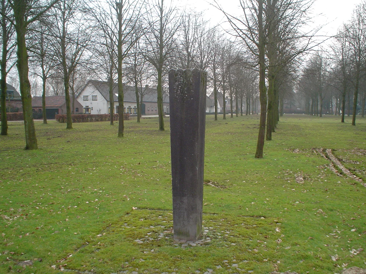
Consolidated, Bypassed, Still Here
Heers consisted of nineteen houses by the end of the 19th century. Fertilizer cultivated away the moors at the start of the 20th. Then in 1960 the A67 motorway came through, cutting straight across plots north of the hamlet, and the regional authorities ran an agricultural consolidation that ran from 1960 to 1965 - reshuffling the small medieval plots into rational farm parcels, straightening the Run along the way. A monument on the square commemorates the project, erected in 1966. A small Marian chapel was rebuilt in 1990 on the spot where an earlier grotto had stood from 1935 to about 1960, built by the schutterij - the citizen militia - of nearby Veldhoven Dorp. Heers today is the only hamlet south of the A67 inside the Veldhoven municipality, ten minutes from a Brainport campus full of microchip lithography engineers, and ten minutes from a Bronze Age burial ground. The Diana figurine in 's-Hertogenbosch is still the most famous thing ever to leave this place.
From the Air
Heers lies at 51.39°N, 5.40°E, about 8 km south-west of central Eindhoven and immediately south of the A67 motorway in the municipality of Veldhoven. Visual reference from the air: small hamlet clustered around a square, surrounded by farmland; the Sprankelse Bossen forest to the west contains the visible reconstructed tumuli. Eindhoven Airport (EHEH) is 5 km north - this hamlet sits beneath the southern approach corridor. Expect arrival traffic on Runway 04. Terrain flat at ~25 m elevation. Streams (Run, Gender) drain north-east toward the Dommel.
Nearby Stories
- Geertruidenberg Castle 4.8 km away
- Castle of Westerlo 7.6 km away
- Binnendieze 9.8 km away
- Hoogstraten Castle 9.9 km away
- Steyl 14 km away
- Kleve 17 km away
- Heinsberg-Lindern Railway 17 km away