Het Bildt
Around ten thousand people in the northern Netherlands speak a language that exists almost nowhere else. They call it Bildts, and it grew out of a sixteenth-century construction project. In 1505 a Saxon duke contracted with three noble brothers from South Holland to dike a stretch of tidal flat just north of Leeuwarden. The labourers they brought with them spoke the Dutch of the south. The land was Frisian. Centuries of intermarriage and proximity blended the two tongues into something neither of their ancestors would quite have recognised - a Dutch-Frisian hybrid spoken on land that did not exist before their great-grandparents built it.
The Middelsee, Vanishing
Long before the dikes, a wide saltwater bay called the Middelsee cut into the Frisian mainland, dividing western Friesland from eastern. Franeker sat on one shore; Leeuwarden on the other. Boats moved between them. Around 1300 the sea began to retreat. A dike was raised between the villages of Beetgumermolen and Britsum, sealing the southern reach of the bay from the tides; the land south of that line dried, joined together, and stayed. In 1398 the newly emerged ground was granted by Duke Albert I of Bavaria to a Dutch noble. By 1498 the silting had pushed further. The Saxon duke Albert of Saxony-Meissen ended up with title to a stretch of soft new earth he called Het Grote Bildt and Het Kleine Bildt - the Great Bildt and the Little Bildt - and considered diking the whole thing into solid land. He ran out of money, then died in 1500.
The 1505 Contract
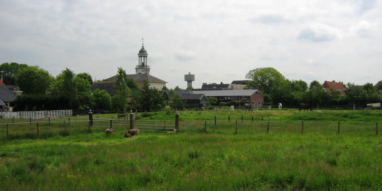
His successors, in a tangled bit of inheritance, transferred Friesland to George of Saxony, who in June 1505 signed an eleven-year lease with three noble brothers from South Holland - Dirk, Floris and Jakob Oem van Wijngaarden - along with their brother-in-law Thomas Beukelaar. The brothers brought workers, money, and ambition. The first dikes they raised could not hold the tide. After more funding from George and the help of two further nobles named Davelaer and Bontemantel, they finished the work: a fourteen-kilometre dike, built by hand with spades and boats and barrowed mud, by labourers from South Holland, Zeeland, and Friesland. The new ground was laid out mathematically - straight parallel roads running north to south and east to west, a grid still visible in satellite photos five centuries later. The villages that sprang up along the main road were named for places in South Holland that the workers had left behind: Wijngaarden, Altoenae, and Kijfhoek. Over time, those names were replaced by the parishes that grew around them: Sint Jacobiparochie, Sint Annaparochie, Vrouwenparochie.
Six Thousand Voices
Bildts is the dialect that emerged from the long marriage of those Dutch settlers and their Frisian neighbours. Linguists classify it as a dialect of Dutch, but it carries Frisian grammar, Frisian vocabulary, and a sound that locals can identify immediately. It has its own written tradition, its own poetry, its own dictionary. Around ten thousand people still speak it, mostly within the boundaries of the old Het Bildt municipality. That is a small number. Languages that small are usually one careless generation away from disappearing entirely. The community in Het Bildt has worked hard against that: bilingual signage gives village names in both Dutch and Bildts, schools teach the dialect alongside Dutch and Frisian, and a steady local literature keeps adding to the written record. Whether that holds the line is something only time will say. The people speaking the language now are the ones deciding it.
Diking the Diked
Once the first fourteen kilometres of dike held, the project kept extending. The strip of land north of the original line was diked in 1600, with the new wall called the Nieuwe Bildtdijk and the old one the Oude Bildtdijk. The ground between - the Nij Bildt - was sold off in 1637 because the Frisian provincial treasury was empty. Another western stretch, the Wester Bildtpollen, was diked in 1715, then sold off in 1751. The eastern Ooster Bildtpollen followed in 1754. Each generation found more land at the receding edge of the Wadden Sea, walled it, sold it, farmed it. Today the road that runs along the original Oude Bildtdijk is the longest in the Netherlands. The houses lining it now stand on what was, for thousands of years before 1505, the bottom of a bay.
What the Soil Grows
The fields are unusually fertile - silt is good for that - and Het Bildt grows onions, potatoes, and a wide variety of fruits, mainly apples. Frisian-style farmhouses dot the grid, some of them descended directly from a design that local tradition holds was first brought north by those South Holland workers in 1505 and later spread across the rest of Friesland. On 1 January 2018 the municipality of Het Bildt ceased to exist as an administrative unit, merging with Franekeradeel, Menameradiel and parts of Littenseradiel to form the new municipality of Waadhoeke. The villages remain. The grid of fields remains. The road on the Oude Bildtdijk remains. And in kitchens and cafes across that grid, in the deliberate care of speakers who know how small their language is, Bildts remains too.
From the Air
Located at 53.29°N, 5.65°E on the north Frisian coast, 15 km north of Leeuwarden. From 3,000-5,000 ft AGL the geometric grid of Het Bildt is one of the most striking features in northern Netherlands airspace - straight parallel roads laid out mathematically in 1505, running cleanly north-south and east-west across the reclaimed land. The Oude Bildtdijk, the original 14 km dike, traces a long line of houses through the polders. The Waddenzee tidal flats lie immediately north. Nearest airports: Leeuwarden Air Base (EHLW) 15 km south. Persistent northwesterlies off the open sea; expect crosswinds and rapid weather changes.
Nearby Stories
- Prinses Margriet Canal 1.7 km away
- De Marne 2.6 km away
- Maritime Institute Willem Barentsz 3.3 km away
- Northern Netherlands 5.1 km away
- Afsluitdijk 12 km away
- Schule am Meer 42 km away
- Gemini Wind Farm 48 km away
- West Sole Gas Field 272 km away