Prinses Margriet Canal
It is one of the strangest negotiations in Dutch infrastructure history. In 1929, the national government offered the province of Friesland a brand-new shipping canal across its territory — and offered to pay for it almost entirely with other people's money. Friesland's share of the construction bill worked out to one-fifteenth. The province said no. It would spend the next twenty years opposing, delaying, and renegotiating a project it could have had for almost nothing, because what looked from Amsterdam like a gift looked from Leeuwarden like a threat to the old port of Harlingen and to the canal taxes that funded Frisian government.
The Problem with Lemmer
In 1911, Dutch authorities formed a commission to fix the inland waterway from Groningen to Lemmer — too narrow, too shallow, suitable only for tiny 120-ton barges in a world where 600-ton vessels were becoming standard on canals like the Dortmund-Ems. Groningen, eager to industrialize, raced ahead, finishing the Gaarkeuken Lock in 1924 and the Van Starkenborgh Canal in 1937. Across the provincial border, Friesland dragged its feet. The Rijkswaterstaat plan of 1929 called for a continuous deep-water route from the IJsselmeer to the German border, with the Frisian section terminating not at Lemmer but at Stavoren. Friesland looked at the map and saw a problem. The canal ran through almost no Frisian towns. It bypassed Harlingen, the province's traditional sea port. And it threatened to drain trade away to a route that would never pay back the canal taxes Friesland needed.
The Numbers Behind the Fight
Friesland's resistance was, in part, very practical accounting. In 1932 a single 170-ton barge sailing the existing canal from Lemmer to the Groningen border paid 32.45 guilders — and more than two-thirds of that was canal tax, a fee unknown in the south of the country or on canals run by the national government. In 1934 the province's total income was 8.3 million guilders, of which more than 300,000 came from canal tolls, with 158,997 of that collected on the Lemmer-Stroobos route alone. A modern national canal would replace tolled water with toll-free water. The province dug in and demanded that any new canal be paired with a second project — the Van Harinxmakanaal between Harlingen and the new waterway — and that the two open simultaneously, so Harlingen would not bleed out during the gap years.
Twenty Years and a War
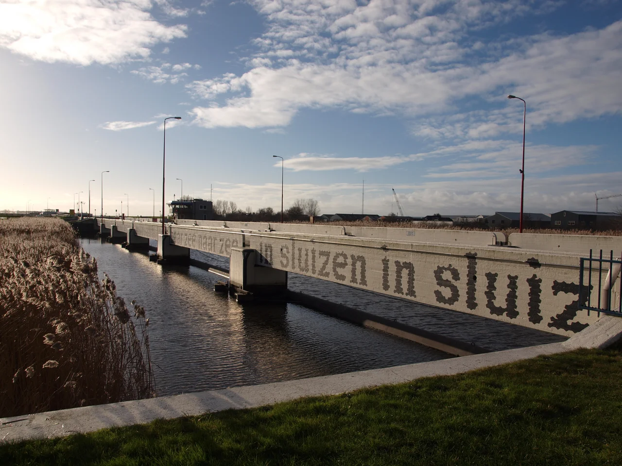
The deal was struck in February 1934. Construction began in 1935 with land acquisition near the Wijde Ee. Dredging the Bergumermeer was tendered in January 1936. In 1938 the decision was made — over Groningen's objections — that the canal would end at Lemmer after all, and that a dam in the IJsselmeer would keep the port useable in winter. Then World War II arrived. Bridges at Stroobos, Blauwverlaat, and Kootstertille went up in early 1940; Fonejacht Bridge opened in 1941; in 1944 all work stopped entirely. By 1946 only the eastern half was usable. In late 1948, with the nation broke, Rijkswaterstaat proposed halting construction altogether — and the provinces, finally aligned, saved their own canal by advancing their contributions out of pocket. Terherne Lock opened on 1 February 1951. In March the first barge passed through the new Prinses Margriet Lock at Lemmer. On 30 May 1951, both canals were officially inaugurated. The lock was named for the third daughter of Queen Juliana, the wartime baby born in Canadian exile.
An Immediate Success
The numbers made everyone look foolish, retrospectively. Pre-canal shipping on the route had totalled about 1.1 million tons in 1938. By 1962 it was over 11 million tons — a tenfold increase. The 1950s brought spur canals to Drachten and Heerenveen, and the Prinses Margriet became the spine of Frisian industrial development, exactly as the engineers in The Hague had promised in 1929. The canal was deepened from 3 to 3.5 meters starting in 1963. Bridges were widened, slowly: Blauwverlaat was supposed to be enlarged in the 1960s but did not actually reopen, at 16 meters wide, until 1985. In 1991 Parliament approved another upgrade, to handle CEMT class V barges, that is still ongoing — Spannenburg, Oude Schouw, Uitwelleringa, and Kootstertille bridges all wait their turn. The province that fought hardest against the canal now depends on it. The arguments of 1929 have become invisible. The barges keep coming.
From the Air
The canal runs roughly southwest-to-northeast across Friesland from Lemmer on the IJsselmeer (52.84°N, 5.71°E) to Stroobos at the Groningen border (53.20°N, 6.18°E), roughly 70 kilometers as it threads through the Frisian lakes. Recommended viewing altitude 3,000-5,000 feet to follow the line of the canal across the patchwork of meres and polders. Distinctive landmarks include the Akwadukt Mid-Fryslân — a canal carrying boats over the A32 motorway — and the Prinses Margriet Tunnel near Sneek, opened in 1977. Drachten (EHDR) sits roughly halfway along the canal's length.
Nearby Stories
- De Steenhuistermolen, Stiens 1.5 km away
- Bovenkarspel 4.1 km away
- Pinksterlanddagen 5.1 km away
- Afsluitdijk 7.1 km away
- Hoogeveen 9.5 km away
- De Marne 10 km away
- Holmes's Bonfire 12 km away
- Urk 16 km away