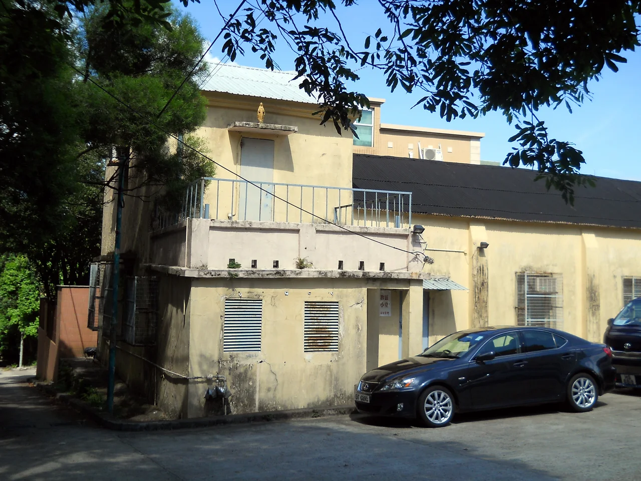

Historic Churches of Sai Kung Peninsula
Fr. Gaetano Origo arrived in Sai Kung in 1865, the first resident missionary sent by the Seminary of Foreign Missions of Milan. He was thirty years old. He died three years later, in 1868, having opened a first chapel in the market town of Sai Kung and established a foundation that his successors would build on for the next century. What the Milanese missionaries — today the Pontifical Institute for Foreign Missions, or PIME — created across the Sai Kung Peninsula and its surrounding islands was not one church but many: a scattered archipelago of chapels, each one planted in a different village, each one adapting to a community with its own dialect, clan loyalties, and relationship to the sea.
Hakka Villages and the Men from Milan
The missionaries did not arrive in empty territory. Sai Kung Peninsula was home to two distinct ethnic communities: Hakka people, whose ancestors had migrated south from central China over centuries, and Punti — the Cantonese-speaking original inhabitants of Guangdong. These communities lived in separate villages with separate identities, and the churches the PIME missionaries established tended to follow that division. Hakka congregations formed in villages like Wong Mo Ying and Yim Tin Tsai; Punti villages including Chek Keng and Tai Long Tsuen hosted their own chapels. The missionaries learned the local languages, lived in the villages, and built church communities that became deeply embedded in the social fabric of these remote settlements. What they left behind — small, solid buildings of local stone — is still visible across the peninsula today.
A Chapel Beneath the Water
One of the Sai Kung churches no longer exists in any visible form. The Immaculate Heart of Mary Chapel was built in 1953 in the village of Sha Tsui. When construction of the High Island Reservoir began in the late 1960s, Sha Tsui was identified as one of several settlements that would be submerged by the rising water. The village was evacuated and eventually flooded; the chapel went down with it. It lies somewhere on the bed of the reservoir, a few metres below the surface that hikers now look out across from the East Dam. The story is not unique — rising reservoirs have swallowed villages and their churches in many places — but the knowledge that a functioning congregation once gathered in a building that is now underwater gives the High Island landscape a particular gravity.
Abandoned but Not Forgotten
As Hong Kong's rural population urbanised through the mid-twentieth century, many of the peninsula's villages emptied. People moved to the city for work, for education, for the life that Sai Kung's fishing hamlets could no longer offer. The churches they left behind fell into varying states of disrepair: some maintained by a handful of remaining parishioners, others overgrown and roofless, accessible only by hiking trail. For decades, these chapels attracted little official attention. Then, gradually, their architectural and historical significance began to be recognised. A territory-wide reassessment of Hong Kong's historic buildings — still ongoing — has included the Sai Kung churches in its scope, and several have received formal heritage grading.
A Landscape of Quiet Witnesses
Walking to the Sai Kung churches today requires effort. The peninsula's back country has no public transport beyond the occasional minibus; most of the old village churches are reached on foot, along trails that wind past paddy terraces long returned to scrub. A visitor who makes the journey to Yim Tin Tsai, for instance, crosses by sampan to a small island where a restored chapel and the ruins of a Hakka village stand together in the afternoon quiet. The buildings are the same ones that PIME missionaries and their Hakka congregations built and worshipped in. History here does not announce itself loudly. It sits in the proportions of a doorway, the thickness of a wall, a small cross catching the last light above a ruined village that once held its own complete world.
From the Air
The historic churches of Sai Kung Peninsula are distributed across a broad area centred roughly on 22.418°N, 114.372°E, some 20 nautical miles northeast of Hong Kong International Airport (VHHH). The peninsula extends northwest to southeast into the South China Sea. Individual church sites in remote valley locations are not distinguishable from altitude, but the peninsula's patchwork of ridges, inlets, and small islands is clearly visible. The approach to the area from the southwest crosses Port Shelter. Terrain varies from sea-level bays to ridges of around 500 metres.
Nearby Stories
- Sha Chau and Lung Kwu Chau Marine Park 5.9 km away
- Wanshan Archipelago 22 km away
- Hong Kong 12 25 km away
- Second Battle of Chuenpi 27 km away
- Mount Guanyin (Dongguan) 43 km away
- Battle of Penghu 474 km away
- Penghu Air Raids 482 km away
- Checheng Fu'an Temple 592 km away