Hombourg, Belgium
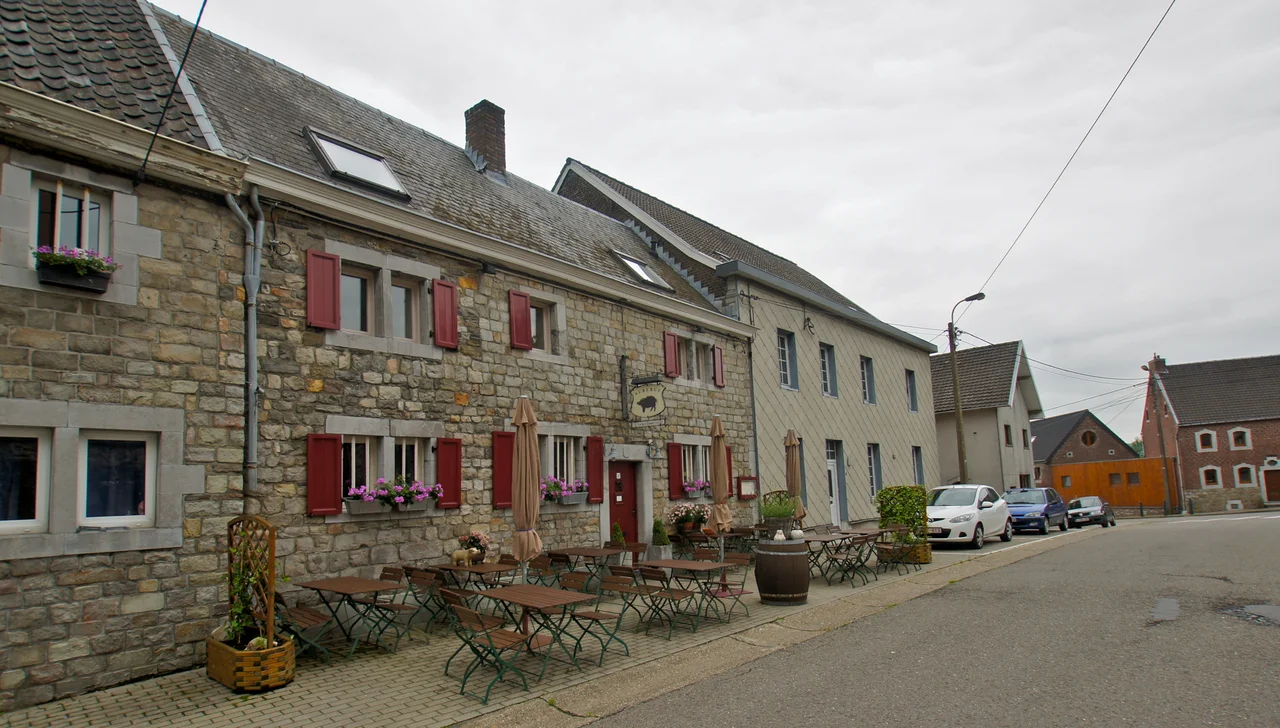
Two craft beers sit on the bar at Hombourg: the brown Joup and the blonde Brice. Order one and you have, almost unwittingly, joined a side. The rivalry goes back to 1591, the year the secular Society of Saint-Brice was carrying a statue of the Virgin in procession and, for reasons the village still debates, abandoned it at the roadside. The parish priest founded a rival Society of Saint Joseph to carry the orphaned statue, and the village split between Brices and Joupes — a feud that ran for more than three centuries through shooting clubs, theatre societies, harmony bands and local council seats. Mayors tried to broker peace in 1914 and again in the 1960s. The bottles on the bar are the truce.
Where Three Languages Meet
Hombourg sits in the wedge of Wallonia that brushes against both the Netherlands and Germany, and the village has spent a thousand years being passed between empires. Records first mention it as Hunborc in 1070. By the medieval period it belonged to the Duchy of Limburg, then to the Spanish Netherlands, then the Austrian Netherlands, then France, then the new Belgium. Each ruler brought a new language for the courts and the church, layered over the local Meuse-Rhenish dialect the villagers spoke at home. Nineteenth-century census takers, often baffled by the local speech, recorded a confusion of tongues. Today about 85 percent of the village speaks French, with German and Dutch minorities, and roughly half of the older French speakers still know the old dialect — a quiet inheritance of every empire that ever owned the road through town.
The Tunnel at Laschet
On the night of 3-4 August 1914, Belgian soldiers blew the head off the Laschet railway tunnel just outside the village. The tunnel ran toward Germany, and the army wanted it useless to the troops it knew were coming. The explosion was, by most reckonings, the first tangible act of the First World War on Belgian soil — a small village watching its own railway, opened with such pride in 1895, disappear in dust before dawn. Three decades later, the war returned. Hombourg was annexed by the Third Reich, and most of its young men went into hiding rather than be conscripted into the German Army. The Henri-Chapelle American Cemetery, just on the village's old municipal territory, now holds nearly 8,000 American graves, most of them men who died in the Battle of Aachen and the Battle of the Bulge a few kilometres east.
Castles in the Meadow
Two castles still stand in the fields around the village. Berlieren Castle was first mentioned in 1124 and served as a working farm until 2007 — then was renovated into guest rooms and a banqueting hall, the seventeenth-century porch left intact. Vieljaeren Castle, surrounded by moats, has the more violent pedigree. It was first mentioned in 1286, the year Duke John I of Brabant destroyed it during the War of the Limburg Succession — the same conflict whose decisive engagement, the Battle of Worringen, came two years later in 1288. Rebuilt and rebuilt again, it has held its medieval shape across seven centuries of border changes. The seigneurie of Hombourg and neighbouring Rémersdael passed through a long catalogue of noble families — the Eynattens, the Hochstedens, the Furstenbergs — each name another reminder that this small village sat astride one of Europe's most disputed corridors.
Bois-Rouge, 1799
When French Revolutionary troops swept through in 1794, Hombourg did not submit quietly. The villagers waited for the Austrians to return, and when the wait grew long, they conspired. On 8 February 1799, in the woods at Rémersdael, the conjuration du Bois-Rouge took shape — a planned uprising against French rule. Someone betrayed it. Several of the conspirators were executed, including at least one man from Hombourg whose name the village remembers. It is the kind of small, doomed story that almost every village along this frontier carries: a moment when ordinary farmers decided that the latest empire on their doorstep was one too many, and paid for the decision.
From the Air
Located at 50.72°N, 5.92°E in eastern Belgium, in the rolling country south of Maastricht and just west of the German border. Recommended viewing altitude: 3,000-5,000 feet for the patchwork of fields, woods, and the Henri-Chapelle cemetery visible to the east. Nearest airports: Liège (EBLG, 25 km southwest) and Maastricht-Aachen (EHBK, 20 km north). The Vesdre and Geul valleys provide visual orientation.
Nearby Stories
- Battle of Hurtgen Forest 2.5 km away
- Hoge Kempen National Park 9.7 km away
- Battle of Hannut 14 km away
- Ted Swales 15 km away
- Rheindahlen 20 km away
- Marcinelle Mining Disaster 59 km away
- Fort Jeanne d'Arc 149 km away
- Marmoutier Abbey 210 km away