_3.jpg)
Horry County, South Carolina
Locals will correct you if you pronounce the H. The county is named for Peter Horry, a French Huguenot officer in the South Carolina militia who fought under Francis Marion during the Revolutionary War, and the H stays silent — like Horry himself, the name went into the language quietly. For most of its history, this corner of South Carolina was nearly impossible to reach. Rivers and swamps walled it off from the rest of the state, and the people who lived here gave their county a defiant nickname: the Independent Republic of Horry.
An Island in the Lowcountry
Created from the Georgetown District in 1801, Horry began with about 550 people and a geography that made every neighbor feel distant. The Atlantic Ocean walls the east. The Little Pee Dee and Lumber Rivers form the western boundary. North Carolina sits across the top. The Waccamaw River, 140 miles long, runs the entire length of the county before spilling into the Atlantic. For more than a century, settlers here farmed, hunted, and traded among themselves, accepting that getting goods to Charleston meant a difficult journey. That isolation bred a self-reliant culture, and locals still claim the Independent Republic title with the same dry humor their ancestors used.
The Largest in the State
Horry County covers 1,254 square miles — more land area than any other county in South Carolina. The highest point reaches only 124 feet above sea level, which means the geography is mostly subtle: pine flatwoods, blackwater swamps, sandhills, and the long sweep of beach along the Grand Strand. The Waccamaw National Wildlife Refuge protects part of the county's riverine ecosystem, and Heritage Preserves at Cartwheel Bay and Lewis Ocean Bay shelter the rare Carolina bays — elliptical wetland depressions that have puzzled geologists for generations. These bays, full of pitcher plants and Venus flytraps, are some of the most biologically distinctive landscapes on the East Coast.
The Bronze Hero
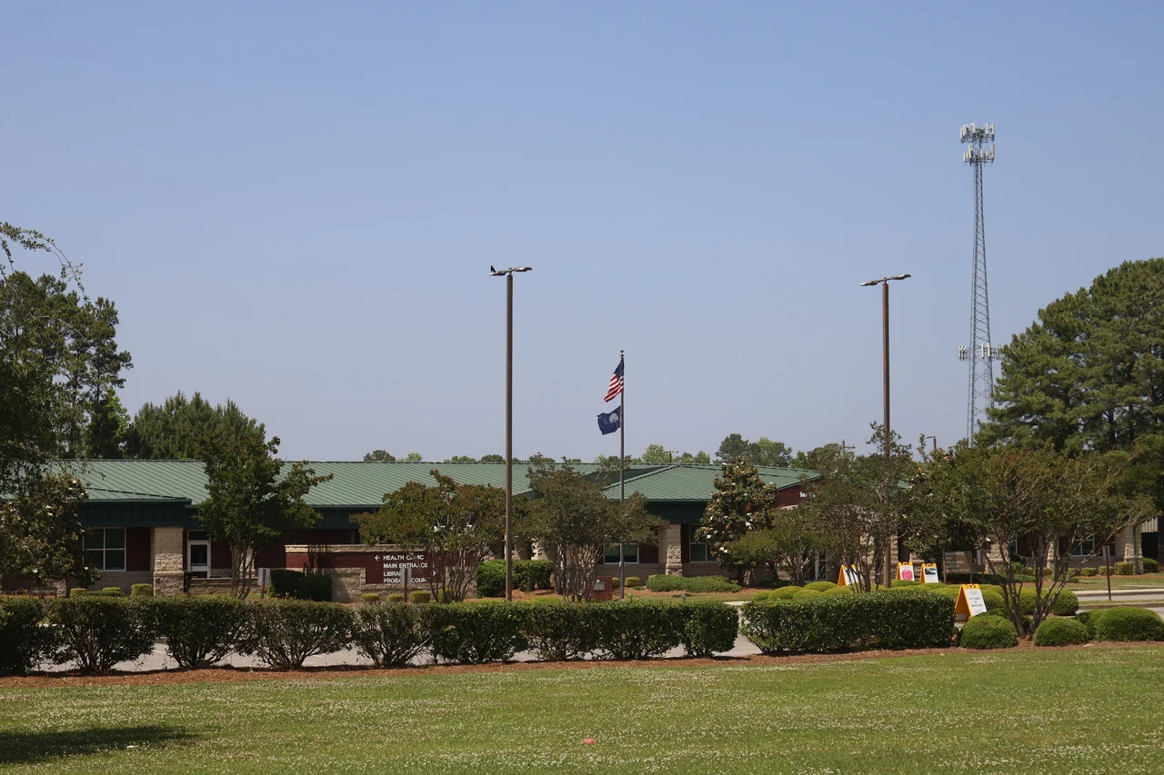
On October 29, 2012, the county finally raised a sculpture of the man whose name it had carried for two centuries. The bronze bust of Peter Horry, designed by artist Garland Weeks, sits inside the Horry County Government and Justice Center. Coastal Monument of Conway built the stone base. The names of the 1801 county commissioners are inscribed on one side; the 2011 County Council members on the other. Horry himself, born in South Carolina around 1743, started his military career in 1775 as one of twenty captains elected by the Provincial Congress. By 1780, he was serving as one of Francis Marion's most trusted officers in the South Carolina militia. The total cost of the sculpture was about $16,200 — modest for a man whose name traveled 200 years on the lips of people who never quite knew what to call him.
From Tobacco to Tourism
For most of the 20th century, Horry County's economy meant tobacco and beachfront. After 1970, the population grew more than fourfold, as retirees and second-home buyers discovered the Grand Strand. Myrtle Beach became the largest city in the county, drawing tens of millions of visitors a year to its boardwalk, golf courses, and amusement parks. Conway, the county seat, kept its small-town riverfront feel while Coastal Carolina University grew from a junior college into one of the county's largest employers. Today the economy mixes tourism, retirement, university research, and surprisingly diverse industry: Adidas has a major presence here, and PTR Industries relocated its gunmaking operations from Connecticut to the Cool Springs Business Park near Aynor in 2013.
Edges and Margins
Horry has always been a county of edges. The Atlantic edge, where the beach towns stretch from Cherry Grove to Garden City. The river edge, where blackwater meets pine forest in places like Bucksport and Galivants Ferry. The state edge, where the Lumber River carries the North Carolina line. And the cultural edge, where the Waccamaw Indian People — a state-recognized tribe — still reside in the county their ancestors named. The county council meets monthly at the Government and Justice Center in Conway, representing eleven single-member districts plus an at-large chairman. They oversee a place that is no longer isolated by water but still, in some sense, an Independent Republic — the kind of place that puts up a bronze sculpture of a French Huguenot captain and waits two centuries to do it.
From the Air
Horry County's geographic center is near 33.91°N, 78.98°W. From cruising altitude the county reads as a long coastal arc: the Grand Strand beachfront stretching from Little River south through Myrtle Beach to Surfside, with inland farmland and pine flatwoods reaching west to the Lumber River. The Waccamaw River makes a distinctive curve through the eastern half. Myrtle Beach International (KMYR) sits in the southern third of the county; Grand Strand Airport (KCRE) is at North Myrtle Beach; Conway-Horry County Airport (KHYW) is inland at the county seat.
Nearby Stories
- Tabor City, North Carolina 7.2 km away
- Huntington Beach State Park 14 km away
- 1958 Mars Bluff B-47 Nuclear Weapon Loss Incident 22 km away
- Oak Island (North Carolina) 28 km away
- Florence County, South Carolina 31 km away
- Leland, North Carolina 38 km away
- Francis Marion National Forest 50 km away
- Walker's Cay 702 km away