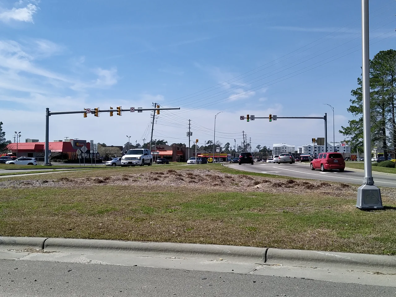

Leland, North Carolina
The vote on September 5, 1989, came down 472 to 42 - a town being born by an enormous margin, which is the kind of thing that only happens when residents are angry enough to leave nothing to chance. The reason was the village of Belville, three miles east across the marsh. Belville's commissioners had spent the spring trying to annex chunks of what would become Leland, and on the day Leland's incorporation ballot was finalized they slipped in one last grab - voting to annex a business district roughly an hour before Leland could finalize its own paperwork. Russell Baldwin, the new town's first mayor, called it a dirty trick. Belville, as a result, is now an enclave entirely surrounded by Leland on three sides and the Brunswick River on the fourth.
The Railroad Crossing
What is now Leland began as a footnote on a 19th-century rail map - the spot where Village Road crossed the Augusta, Columbia, and Wilmington railroad lines. There was no town, just a few houses and a post office, established in 1881 and named for Leland Adams, nephew of the first postmaster Joseph W. Gay. The location had quiet advantages. The Brunswick and Cape Fear rivers met just east of the settlement, and that meant trade, in an era when rivers were highways. For a hundred years Leland stayed small. Citizens voted down an attempt to incorporate in 1979 - they liked their township just fine. It took the Belville annexation fight a decade later to change their minds.
Surrounding the Holdout
If you look at a map of Brunswick County today, the geometry tells the story. Leland wraps around Belville on three sides. The Brunswick River wraps around the fourth. Belville is roughly a square mile; Leland is more than twenty-two. Mayors of both towns have tried, off and on, to merge the two. In April 1996, Leland mayor Franky Thomas floated a four-way merger with Belville, Navassa, and the Leland sanitary district. It died. In 2000, Leland tried again. Dead. In 2012, Leland made another approach, dangling the prospect that a merged Belville could pay off a difficult downtown development contract it had signed with Urban Smart Growth. Belville's mayor at the time, Jack Batson, conceded the maps made sense. The merger still did not happen. Old grudges have long memories.
The Fastest Growing Town in the State
In 2000 Leland had 1,938 residents. By 2010, 13,527. By 2020, 23,504. That's a twelvefold increase in twenty years, and as of 2020 the U.S. Census Bureau called Leland the fastest-growing town in North Carolina. The reasons are not exotic. Leland sits five miles west of downtown Wilmington across the Brunswick and Cape Fear rivers - close enough for a Wilmington commute, far enough that land was cheap and large subdivisions could be built. Brunswick County as a whole is the fastest-growing county in the state. Retirees come for proximity to the coast. Young families come for the schools and the affordability. The roads have not caught up. Traffic on US 17 through Leland is now legendary in the wrong way.
Cypress Cove and a Thousand Acres
For all the suburban subdivisions, Leland has worked to hold onto its wetlands. Cypress Cove Park, donated by Kirby Sullivan in 2005, is twenty-seven acres of black-water swamp with an overlook deck, an outdoor classroom, and a handicap-accessible fishing platform - the town's first public water access. Westgate Nature Park added another hundred and fifty acres of mixed wetlands and upland pine, paid for by a half-million-dollar state grant. In November 2025 the town announced its largest commitment yet: roughly a thousand acres near Highway 87 and Colon Mintz Road, slated to become Leland's first formal nature preserve. Forested wetlands, upland longleaf pine, and the kind of biodiversity that the rest of the county is paving over - kept, for now, as it is.
Charter Day School and the Skirt Rule
One Leland story has bounced through federal courts for nearly a decade. Charter Day School, a K-8 public charter school operating in the town, required female students to wear skirts. The founder said it promoted chivalry, mutual respect, and traditional values. In 2016, the ACLU sued on behalf of three girls and their parents. In March 2019, U.S. District Judge Malcolm Howard ruled the policy unconstitutional sex discrimination. On August 2, 2021 - the same day that, as it happens, Wilmington's City Council voted to permanently remove its Confederate statues - a federal appeals court vacated Howard's ruling on equal-protection grounds but sent the case back to consider whether the dress code violated Title IX. The girls had argued, quite simply, that skirts kept them from playing tag at recess. A charter school in a town of suburban subdivisions and disappearing cypress swamps had become a national test case for how public schools may treat their students.
From the Air
Leland sits at 34.24N, 78.02W, on the west bank of the Brunswick River five miles west of downtown Wilmington. From the air the town is recognizable as a grid of cul-de-sac subdivisions scattered through a patchwork of cypress wetlands. Wilmington International Airport (KILM) is about ten miles east. US 17 and US 74/76 run east-west through the heart of town. Approaches from the east cross the Cape Fear River and the broad marshes of Eagles Island. Year-round visibility is good; thunderstorms common in summer.
Nearby Stories
- Ocean Isle Beach house fire 4.7 km away
- Pender County, North Carolina 6.6 km away
- Bald Head Island 13 km away
- Marine Corps Base Camp Lejeune 16 km away
- Lake Waccamaw, North Carolina 17 km away
- The Robesonian Takeover 59 km away
- Swansboro 59 km away
- Mercury-Redstone 4 726 km away