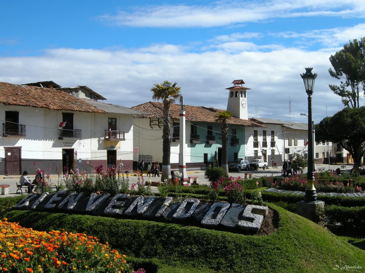
Huamachuco
The name means Land of Falcons, more or less. Huamachuco comes from two words in two different languages: waman, the Quechua word for falcon or variable hawk, and chuco, a Kulyi word meaning earth, country, or land. Kulyi was a language spoken in this region before Quechua arrived with the Inca expansion, and it has since disappeared entirely - we know it only through place names that end in chuco or chugo across the northern Peruvian highlands. Huamachuco sits at roughly 3,200 meters in the Andes, 100 kilometers south of Cajamarca, on the high grasslands called puna. What distinguishes it from other Andean towns of similar size is not its altitude or its plaza but the weight of religious history here: a major pre-Inca oracle, a thunder god whose cult spread across the region, and continuity of occupation through the kind of civilizational collapses that destroyed most Peruvian highland populations.
The Oracle That Kept Things Going
Before the Incas, Huamachuco was the heart of a Kulyi-speaking polity that colonial chroniclers called the Señorío de Huamachuco - the Huamachuco lordship. Its main deity was Catequil, a thunder god and oracle whose shrine sat at the center of the territory. Archaeologists have identified Cerro Icchal with Catequil himself - both the seat of the wak'a and its embodied form. The main sanctuary at Namanchugo sat at the mountain's foot. Colonial chroniclers recorded the shrine's magnificence before the Inca emperor Atahualpa largely destroyed it during the civil war with his brother Huáscar, and Spanish priests finished the job later. Pilgrims had traveled to consult Catequil from across the northern Peruvian highlands and beyond. Their fees had been a primary source of Huamachuco's wealth. When the Wari Empire collapsed around 1000 CE and much of the Peruvian highlands suffered demographic decline, Huamachuco apparently did not - possibly because the oracle kept drawing visitors and sustaining the local economy through the disruption.
Eight Phases of Settlement
The area around Huamachuco has been continuously occupied for a remarkable span, and archaeologists have divided that occupation into eight phases. The earliest is called Colpa, ending around 900 BCE. Sausagocha runs from 900 to 200 BCE. Purpucala covers 200 BCE to 300 CE. The Early-Huamachuco phase lasts from 300 to 600 CE. Amaru covers roughly 600 to 800. The Late-Huamachuco phase goes from about 800 to 1000. Tuscan, the penultimate phase, runs from 1000 to 1470 and corresponds to the historical independent domain of Huamachuco. Santa Bárbara, the final phase from 1470 to 1532, covers Inca domination. Each phase records different pottery styles, different architectural approaches, different burial practices - a record of continuous cultural evolution reaching back more than three thousand years. The capital of the pre-Inca kingdom was probably Marcahuamachuco, whose ruins sit about thirty miles away, showing occupation from the Early-Huamachuco phase through Tuscan.
Marcahuamachuco in the Mist
Marcahuamachuco is a complex of stone monuments perched on a high ridge, with walls still standing up to ten meters tall in places. It was a political and religious center of a culture that thrived between roughly 350 and 1100 CE. The architecture includes distinctive circular buildings - a regional style that shows up at scattered sites across the northern Andes, including Gran Pajatén to the east. Three and a half kilometers north of modern Huamachuco, at a site called Viracochapampa, stand the ruins of a Wari city. The Wari were the imperial culture that briefly dominated much of pre-Inca Peru from around 600 to 1000 CE, and Viracochapampa shows their characteristic rectangular compound architecture - completely different from the circular buildings of Marcahuamachuco. Having both traditions so close together makes this area unusual: evidence of local continuity and imperial impositions sitting side by side on the same plateau.
The Inca Footprint
After the Inca conquest, Marcahuamachuco's population was likely resettled on the site of the modern town. Huamachuco became the capital of an Inca provincial district called a wamani, and it sat as a major waystation on the Qhapaq Ñan - the Royal Road - that ran from Cusco to Quito. The Incas built at least 215 colca storehouses on the hillsides around the town, stockpiling food, textiles, and other supplies that their administration distributed during emergencies or mobilized during military campaigns. The combined infrastructure - road, storehouses, provincial capital - made Huamachuco one of the more important Inca installations in the northern empire. All of this lasted only about sixty years before the Spanish arrived. The storehouses fell into disuse. The Royal Road fragmented. But the town itself persisted, becoming the seat of colonial administration for the surrounding mining districts.
High Puna and Cool Sky
Huamachuco sits in a landscape shaped by altitude. The surrounding terrain rises to 4,500 meters in some directions, falls to around 2,500 in others. Because of those heights, most of the land is treeless - the puna grasslands ideal for deer, wild camelids (vicuñas and guanacos), and the domesticated camelids that carried Andean civilization (llamas and alpacas). The climate is classified as subtropical highland (Köppen Cwb), with consistently cool temperatures and a dry season from June to August. Valley slopes show old terraces and evidence of deliberate shrub cultivation, suggesting that prehistoric agriculture pushed 100 to 300 meters higher than modern farming can manage - a hint that the local climate was slightly warmer in the past. Lake Sausacocha lies to the northeast, a high-altitude body of water where local residents still fish for trout and occasionally hunt wild ducks, and where the Huamachuco cultural phase took its name millennia ago.
From the Air
Located at 7.81°S, 78.05°W in Peru's La Libertad Region. Recommended viewing altitude 14,000-18,000 feet (4,300-5,500 m) to clear the surrounding highlands; the town itself sits at approximately 3,200 m. Small airfield Huamachuco Airport (SPUC) serves limited regional flights. Closest commercial airport is Cajamarca (SPJR) roughly 100 km to the north. Look for Lake Sausacocha's distinctive shape to the northeast of town and the ruins of Marcahuamachuco on the ridge roughly 10 km to the east.
Nearby Stories
- Pallasca District 31 km away
- Rio Abiseo National Park 50 km away
- Battle of Cajamarca 55 km away
- Gran Pajatén 59 km away
- Huacrachuco 84 km away
- Santa Ana (La Florida) 327 km away
- Piura 358 km away
- Easter Island: The Mystery of Rise and Collapse 3853 km away