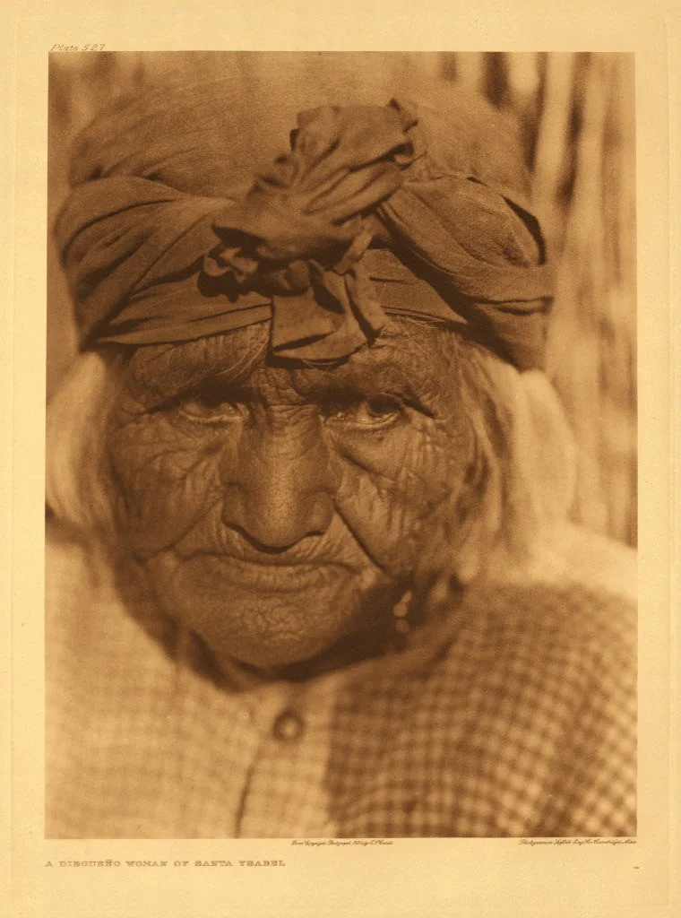
Iipay Nation of Santa Ysabel
The Iipay are the northern branch of the Kumeyaay people — the indigenous nation that has inhabited the mountains, canyons, and desert edges of San Diego County for thousands of years. Their federally recognized homeland, the Santa Ysabel Indian Reservation, spreads across more than 15,000 acres in the Volcan Mountains east of Julian, at elevations ranging from 3,200 to 5,700 feet. Seven species of oak grow on reservation lands. The tribal roll lists more than 700 voting members. These are not distant or historical facts; they describe a living, self-governing nation whose presence in these mountains has never been interrupted.
Homeland in the Oaks
The Santa Ysabel Reservation sits in a landscape that differs dramatically from the desert lowlands visible to the east. At elevations between 3,200 and 5,700 feet, the terrain supports oak woodland and chaparral — seven distinct oak species, including Engelmann oak and canyon live oak, which provide both food and habitat that have sustained Kumeyaay communities for generations. Acorns were, and in some contexts remain, a fundamental food source: leached of their tannins and ground into meal, they formed a dietary staple that the landscape provided reliably when managed by people with generations of accumulated knowledge about harvest timing, storage, and preparation. This relationship between the Iipay people and the oak landscape of the Volcan Mountains is not incidental; it shaped and was shaped by millennia of occupation.
The Structure of Self-Government
The Iipay Nation of Santa Ysabel is a federally recognized tribe, which carries specific legal meanings under United States law: recognition of sovereignty, eligibility for certain federal programs, and the right to govern tribal affairs according to tribal law. The nation adopted a written constitution in 2007, formalizing governance structures that provide a framework for managing tribal land, resources, and membership. More than 700 voting members participate in tribal governance, a community that includes people living on and off the reservation who maintain ties to the nation. The mid-November Feast Day is an annual gathering that connects tribal members across generations — a celebration tied to the agricultural and Catholic calendar that reflects the complex layering of Kumeyaay culture through the colonial and post-colonial periods.
Between Colonialism and Continuity
The Kumeyaay people experienced Spanish mission contact beginning in the late eighteenth century, and the Santa Ysabel area was the site of a mission asistencia — a satellite of Mission San Diego — established in 1818. Spanish colonialism brought forced labor, displacement, and epidemic disease that devastated indigenous populations across California. The Iipay people survived this period and subsequent American governance — including the allotment policies of the late nineteenth century that reduced tribal land holdings across the country. Federal recognition in the twentieth century formalized the nation's status and initiated a period of recovery and assertion of sovereignty that continues. The 15,000 acres of the reservation are both what remains and what was protected.
Living Tradition
The Kumeyaay cultural traditions that survive among the Iipay represent not a museum piece but a living body of knowledge, practice, and identity. Bird singing — a ceremonial musical tradition involving songs connected to specific places, events, and spiritual meanings — continues among Kumeyaay communities including the Iipay. Basket weaving, which reaches extraordinary levels of technical refinement in Kumeyaay work, is practiced and taught. The Iipay language, related to other Yuman language family members, has faced the pressures that threatened indigenous languages across the Americas, but revitalization efforts reflect a community committed to maintaining linguistic connection to their cultural heritage. The reservation's oak-covered mountains are not just a homeland but the physical memory of who the Iipay have always been.
From the Air
The Santa Ysabel Indian Reservation sits in the Volcan Mountains at approximately 33.171°N, 116.662°W, east of the town of Julian in San Diego County. Elevations range from 3,200 to 5,700 feet. The oak woodland and chaparral landscape is clearly distinguishable from the surrounding high desert terrain visible from altitude. Palomar Airport (KCRQ) in Carlsbad is the nearest regional airport at about 40 miles west. Ramona Airport (KRNM) is approximately 25 miles southwest. The mountain landscape is often cloud-capped in winter and spring; summer and fall typically offer clear viewing conditions.
Nearby Stories
- Escondido Public Library 1.8 km away
- American Airlines Flight 6-103 5 km away
- 700,000 People Looking Up 6.7 km away
- The International Banana Museum 14 km away
- Santa Rosa Mountains 18 km away
- Fish Creek Mountains Wilderness 18 km away
- California State Prison, Centinela 22 km away
- Tenaja Fire 24 km away