.jpg)
Itacaré
Rua Pedro Longo shuts to cars at four in the afternoon. That is when Itacaré becomes itself. The street fills with barefoot surfers walking home from the break, women selling açaí in plastic cups, a capoeira circle forming in a square, a man with a wooden cart grilling pineapple. This is a small town, about 29,000 people, tucked into a green corner of the Bahian coast where the Contas River meets the Atlantic. It almost died twice. Now it is one of the most alive places in Brazil.
Brazilwood to Cocoa to Surf
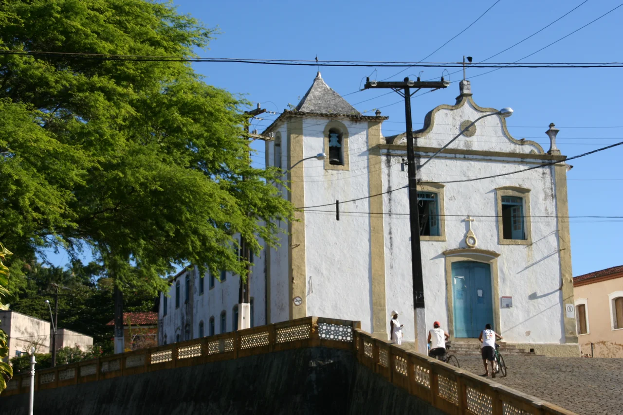
The first economic activity here was cutting brazilwood for European dye makers, and the tree that was cut so hard it became scarce is also the tree that gave Brazil its name. During colonial times Itacaré's cassava flour fed the enslaved workers of the Salvador sugar plantations up the coast. Cacao came later, and the boom of the nineteenth and twentieth centuries built the neocolonial houses and warehouses that still line the historic center. Boats came up the Contas River, loaded cocoa beans, and carried them to European chocolatiers. Then the railways and Ilhéus expanded, and two upriver dams built in the 1960s silted up the port. The witch's broom fungus killed what was left of the cocoa economy in the 1980s. Itacaré was broke.
Finding the Waves
What Itacaré had, no one had noticed. The coastline for kilometers north and south of town is a series of small cove-type beaches set between rocky headlands, with Atlantic rainforest pressing right down to the sand. Praia da Concha, Praia Resende, Praia do Tiririca, Praia do Costa, Praia Ribeira, and further afield the long ribbon of Itacarezinho. Surfers started arriving in the 1990s. Word traveled. The town slowly added pousadas, then yoga studios, then restaurants, each adjustment a small negotiation between what locals wanted to preserve and what travelers were willing to pay for.
Capoeira and Carnaval
Itacaré is one of the strongholds of Bahian culture, and capoeira is at the center of it. Three groups work the town. Luanda, Filhos de Zumbi, and Tribo do Porto hold training sessions that are open to visitors, and their show nights draw crowds that spill into the streets. Capoeira evolved among the enslaved communities of Bahia as both combat training and resistance, disguised as dance so masters would not recognize it. In Itacaré the circle is still forming, the berimbau still humming, the movements still holding that double meaning. Carnaval and New Year's bring the town's population briefly to several times its normal size.
At the Edge of the Forest
Just west of town, the Serra do Conduru State Park preserves one of the largest remaining patches of southern Bahian Atlantic rainforest, a biome that has lost roughly ninety percent of its original extent in Brazil. The park holds jaguars, golden-headed lion tamarins, and a density of tree species per hectare that rivals any forest on Earth. Tours run out of Itacaré into the park for day hikes and longer treks. The Cachoeira do Tijuípe and other waterfalls draw swimmers on hot afternoons. The forest is close enough to walk to from the center of town.
Getting There, Staying There
Itacaré is seventy kilometers north of Ilhéus, reached by the BR-001 highway. From Ilhéus airport, the bus or a shared van takes under two hours on a road that winds through hills and creek crossings. From Salvador, the cheapest route is the Bom Despacho ferry and then a five-hour bus ride. The town is small enough to walk, with e-bike rentals for anyone who wants to range further. Pousadas fill the ridge above Praia da Concha, the Pharol hostel takes budget travelers on the main square, and the surf shops along Rua Pedro Longo rent boards from dawn until the sun drops behind the forest.
From the Air
Located at 14.28°S, 39.00°W on the Bahian coast about 70 km north of Ilhéus. Nearest commercial airport is Ilhéus Jorge Amado (SBIL / IOS); no scheduled service to Itacaré itself. A small unpaved airstrip serves private aircraft. Recommended VFR altitude 1,500-3,000 ft to follow the coast; the Contas River mouth and the string of cove beaches make for obvious visual navigation. Tropical rainforest climate; expect warm, humid conditions year-round with a wetter season roughly March-July.
Nearby Stories
- Ilhéus 31 km away
- Boipeba 49 km away
- Battle of 4 May 93 km away
- Vitória da Conquista 160 km away
- Praia do Forte 197 km away
- Sincura 226 km away
- Brumado 247 km away
- SS Principessa Mafalda 267 km away