Brumado
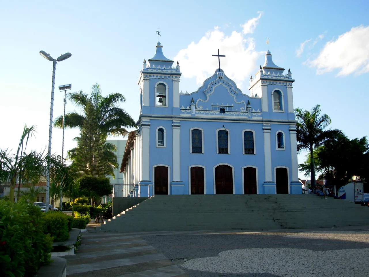
The name gives the place away. Brumado means misted - bruma is Portuguese for fog - and locals say it refers to the cool mountain air that slides down the Serra das Éguas at first light, settling over the town in soft gray drifts before the sun burns it off. Another theory is rougher: that garimpeiros in the old gold diggings on the Rio Brumado used the word bromine to describe the deceiving glint of iron pyrite, the ore that promised gold and delivered nothing. Both stories fit. Brumado is a city of 70,268 people wedged in the Polygon of the Droughts, its prosperity built on minerals that the Serra das Éguas hides under cerrado and caatinga scrub, and its identity still shaped by the mountain that makes the fog.
A Fight at the Mouth of a River
The first Portuguese party to reach this country came the long way round. In the 18th century, Captain Francisco de Souza Meira crossed out of the captaincy of Minas Gerais with a column of bandeirantes, descended the Rio Brumado along its right bank, and reached the confluence with the Rio do Antônio near the site of the modern town. There they met the Tupinambá people who had lived on this land long before any Portuguese knew its name, and a sharp fight broke out close to what is now Brumado's municipal center. The Tupinambá resisted but were gradually pushed from the area, their lives and their language giving way to the expanding frontier. Souza Meira claimed the land as his own and named it Conquista. He founded a farm he called Das Éguas Serra - the Farm of the Range of Mares - on the flank of the mountain that still carries the name today. The town that grew from that farm was called Bom Jesus dos Meiras for more than a century.
Emancipation and a Mountain Made of Magnesite
Brumado was emancipated from the larger municipality of Caetité on 11 June 1877, during the height of coronelismo - the age of local strongmen who ran Brazil's interior like private estates. The provincial deputy Marcolino Moura drafted the emancipation. The first intendant was Colonel Exupério Pinheiro Canguçu, the fourth and last lord of the Sobrado do Brejo, a colonial manor whose ruins still stand on land now owned by the mining company that transformed the region. That transformation came in 1939, when the mining firm Magnesita S.A. - founded by the French-Brazilian partners Miguel Pierre Cahen and Georges Louis Minviele with local politician Antônio Mourão Guimarães - arrived to exploit the enormous magnesite and talc reserves locked inside the Serra das Éguas. The Federal Railway Network reached Brumado the same year, hauling ore to the port of Aratu in Salvador. The town that had been Bom Jesus dos Meiras became a mining town overnight. Today the company is known as RHI Magnesita, and the Serra das Éguas remains one of the largest magnesite deposits on Earth.
Two Biomes, One Polygon
Geography here is a collision. Brumado sits at 454 meters above sea level, but the Pico das Éguas rises to 1,100 meters a short distance out of town, high enough to support campos rupestres - the rocky montane grasslands that bloom with shrubs and wildflowers above 900 meters. Below those summits the vegetation shifts down through ciliar gallery forest along the rivers to cerrado savanna on the plateau, and then into caatinga scrub, the dry thorn forest that is Brazil's most drought-adapted biome. Rainfall averages only 700 to 800 millimeters a year, and temperatures hover around 22°C. The rivers are mostly temporary. The Rio Brumado, a tributary of the Rio de Contas, rises in the Serra das Almas - the Range of Souls - and flows past the town before joining the larger system. The municipality borders the famous Chapada Diamantina along the Rio de Contas, though the diamond-bearing tablelands give way here to the gentler, drier Serra Geral. The bedrock is metavolcanic, ancient, and so mineral-rich that geologists study it as one of the oldest soil profiles in Brazil - holding iron, manganese, emeralds, quartz, and the magnesite that built the town.
Festivals, Dust, and the Cavalcade
Brumado's patron saint is Bom Jesus, and the old name still colors the calendar. The municipal holiday falls on 11 June, the date of emancipation in 1877, which happens to coincide with Evangelical Day - a useful overlap in a city where Catholics and evangelicals now worship in roughly parallel numbers. St. Sebastian's procession has been walking the streets every 20 January since 1960, and the June festas of St. John and St. Peter light up the interior with bonfires and forró music. Carnival in Brumado was once a proud tradition, launched in 1949 by a group of friends who wanted their own revelry and moved to the clubs by 1951. The great drought year of 1998 effectively ended it; since then news of its cancellation has outrun news of its celebration. What has grown instead is the cavalcade - mounted riders in their hundreds tracking from the north of the municipality to the south, a moving social occasion with sertanejo music at every stop. Above town the Pico das Éguas keeps its caves and springs, little-visited and still waiting for the tourism the town has never quite built.
From the Air
Brumado sits at 14.20°S, 41.66°W, in the Serra Geral of southwest Bahia, 555 kilometers by road from Salvador. Approach at 7,500 to 9,500 feet to take in the dramatic ridge of the Serra das Éguas rising to 1,100 meters just west of town, and the Chapada Diamantina's tablelands to the northeast. Nearest airports with regular service are Vitória da Conquista (SBQV) about 85 nautical miles east and Bom Jesus da Lapa (SBLP) about 100 nautical miles northwest. The region lies in the Polygon of the Droughts, so VFR conditions are usually excellent; expect hazy afternoon visibility in the October-through-March rainy season when dust clears but cumulus builds.
Nearby Stories
- Vitória da Conquista 59 km away
- Sincura 81 km away
- Vargem Grande do Rio Pardo 111 km away
- Caminho dos Gerais State Park 135 km away
- Serra Nova State Park 192 km away
- Itabuna 212 km away
- Boipeba 242 km away
- Manuscript 512 268 km away