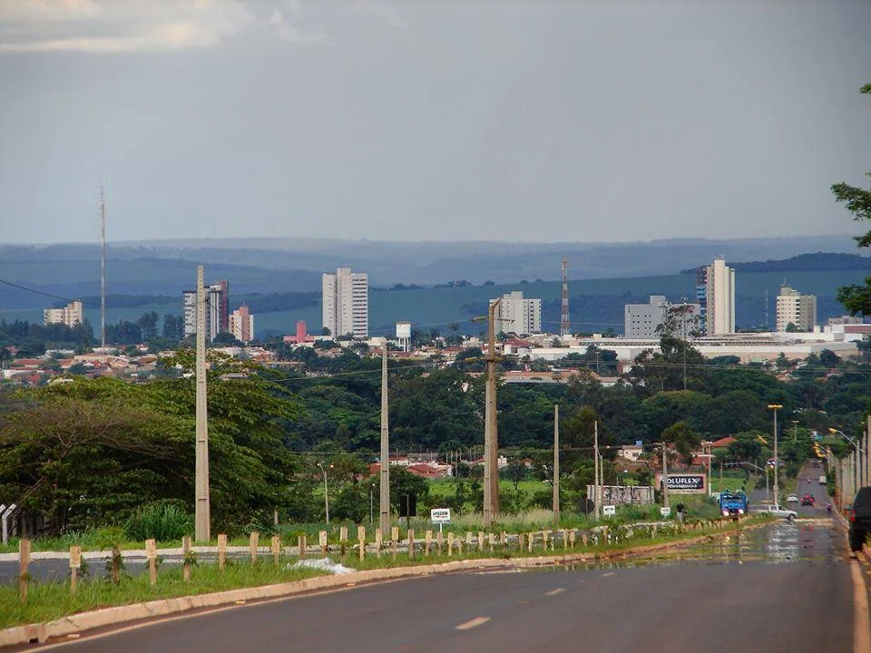
Jataí
In 1836, a cowman named José Manoel Vilela crossed the Rio Verde from Minas Gerais and kept going west. He was looking for open country, the kind a man could run cattle across without asking anyone's permission, and when he reached the banks of the Rio Claro he decided to stop. He called the place Paraíso. It took another half-century for that improvised ranch to become a village, a village to become a town, and the town to pick up its current name — Jataí — by the time the municipality was formalized in 1885. What started as the last ripple of Brazil's cattle-driving expansion has since become something else entirely: one of the country's agribusiness superpowers, where the old pasture now shares land with soybeans, sorghum, and enough chickens to overwhelm any attempt at accounting.
At the Confluence
Jataí occupies the floor of a broad valley where the São Pedro River meets the Claro, in the far southwest corner of Goiás state. The Serra do Caiapó rises nearby, a ridge that divides the watersheds of the Araguaia to the north from the Paraná system to the south. From a cruising pilot's window, the terrain looks like a patchwork of geometrically clean fields — green in the rainy months from October through April, dry brown in the winter from May to September. At ground level, the Rio Claro supplies the city's drinking water, treated before distribution, and feeds into the irrigation networks that keep this part of Brazil's agricultural frontier among the most productive in the country. The Southwest Goiás microregion that Jataí anchors holds some 330,000 people spread across 18 municipalities.
The Cattle That Stayed
The cattle came first, and they never really left. Jataí holds the largest bovine herd in Goiás — over 320,000 head on recent counts — and remains a major producer of swine and poultry. The poultry figure is staggering: nearly 2.5 million birds, housed in industrial complexes that stretch across the rural districts. That volume of protein production requires processing, which is why the municipality has grown into an agribusiness hub rather than just a farm town. Meat-packing plants run day shifts and night shifts. Dairies operated by Agromilk, Laticínios Dallas, and Dairy Partners Americas collect milk from thousands of cows across 42,300 head dedicated solely to dairy production. On the grain side, the fields yield soybeans, corn, sorghum, sunflowers, and wheat across nearly 1,600 farms.
Multinationals in the Cerrado
The foreign names arrived when Brazil's soy boom went global. Archer Daniels Midland — the American agricultural giant — operates food-processing facilities here. So does Louis Dreyfus Commodities, headquartered in France. Cosan, Brazil's own national leader in sugar and ethanol and the world's largest sugar producer, has a presence. Nestlé processes food out of Jataí. These are the companies that turn Goiás soybeans into animal feed in Shanghai and cooking oil in Lagos, and they chose Jataí because the soil works, the infrastructure functions, and the highway network — via BR-060 through Rio Verde toward the state capital at Goiânia — can move product efficiently to the ports. The Distrito Agroindustrial DAIJA, the city's industrial park, hosts most of these operations.
A University Town on the Frontier
Prosperity has built unexpected things here. The Federal University of Jataí — previously a campus of the Federal University of Goiás, now its own institution — operates three academic centers: Human Sciences, Physical Education, and Agricultural and Biological Sciences. The Instituto Federal de Goiás has a branch here too, along with multiple private institutions and the state university. The 64 schools in the municipality educate 24,600 students, and Jataí's literacy rate hovers near 89.8 percent — high by interior-Brazil standards. The agricultural biology programs are a natural fit, turning out researchers who return to work for the same multinationals that drew them to town. A frontier that started as cattle country has grown the academic infrastructure to keep up with the science of what it now produces.
The Frost Line
There's a detail in the climate records that tells you something about this stretch of Goiás: the town occasionally drops to cold temperatures that surprise visitors who assumed Brazilian interior means perpetual warmth. On July 18, 2000, the thermometer recorded a "surprising" reading, and residents still talk about the frosts that have rolled in over the decades. Tropical mesothermic, the meteorologists call it — warm and wet in summer, dry and cool in winter, with the occasional cold snap reminding everyone that the plateau sits at a significant elevation. The climate helps explain why crops diversified the way they did. You can grow soy and corn for the wet season, then plant drought-tolerant varieties for the dry. You can raise cattle year-round. You can keep poultry in climate-controlled barns. The frontier never stopped being practical.
From the Air
Coordinates: 17.88°S, 51.71°W. Recommended viewing altitude: 5,000-10,000 feet AGL to appreciate the scale of the Goiás cerrado and the geometric patterns of industrial agriculture stretching in all directions. Nearest airports: Jataí Airport (SWJN) offers regional service; Rondonópolis (SBRD) roughly 350 km northwest and Goiânia (SBGO) approximately 310 km northeast provide commercial options. Clear winter skies (May-September) offer excellent visibility; summer brings dramatic afternoon thunderstorms.
Nearby Stories
- Mineiros 18 km away
- Rio Verde, Goiás 43 km away
- Quirinópolis 100 km away
- Iporá 128 km away
- Araguainha Crater 134 km away
- São Simão, Goiás 170 km away
- Montes Claros de Goiás 181 km away
- Mato Grosso do Sul 336 km away