Jatobá Hydroelectric Power Plant
The plan was to build a dam you would not see from shore. No access roads, no worker camps cut into the forest, no highway threading a scar to the construction site. Workers would be flown in and out by helicopter and the land regenerated once the plant was done. It was called the platform approach, and its engineers believed it could reduce the environmental footprint of a major hydroelectric project to almost nothing. The only problem was the reservoir. The water behind the Jatobá dam would cover 64,600 hectares - a flood of Munduruku indigenous territory, ribeirinho river-dwelling communities, and protected forest that no construction method could undo. Since 2017 the project has sat suspended. Not canceled.
The Tapajós Plan
Jatobá is one dam in a much larger proposal. The Tapajós hydroelectric complex envisions 12,000 megawatts of generation spread across seven dams on the Tapajós and Jamanxim rivers. The flagship is São Luiz do Tapajós at 6,133 megawatts. Jatobá would be the second largest, its reservoir sprawling upstream of São Luiz. The others - Cachoeira dos Patos, Jamanxim, Cachoeira do Cai, Chacorão, Jardim do Ouro - are in varying stages of study. Together the three biggest dams alone would flood 198,400 hectares, including parts of the Amazônia and Juruena National Parks and the Itaituba I and II National Forests. In Brazil's energy planning documents these are rational numbers - megawatts, hectares, cost per kilowatt-hour. On the ground they are something else.
The People Upstream
The Jatobá reservoir would sit just upstream of the Sawré Muybu Indigenous Territory, home to Munduruku people whose fight against the larger São Luiz do Tapajós dam became a rallying point for indigenous rights across the Amazon. The Munduruku have lived along the Tapajós for centuries. The river is not infrastructure to them; it is the path their ancestors traveled, the place where their dead are remembered, the current that carries their fish. Beyond the Munduruku are the ribeirinhos, the traditional river-dwelling communities of Brazilian Amazonia whose lives are organized around the rise and fall of the water - fishing in the wet season, farming the exposed floodplain in the dry, moving by canoe between kin. The official estimate of people affected by the Jatobá reservoir was 1,303. That number does not capture what displacement means for communities that have spent generations learning a specific river.
Engineering a Platform
The technical specifications are real even if the dam is not built. The structure would stretch 1,287 meters across the Tapajós at a maximum height of 35.3 meters, holding back water 66 meters deep on the upstream side and releasing it at 50 meters below. The hydraulic head is only 16 meters - modest by hydroelectric standards - so the plant compensates with volume. Forty bulb turbines at 59.7 megawatts each would generate an installed capacity of 2,338 megawatts with an assured output of 1,282. Annual production was projected at 11,264 gigawatt-hours. The cost estimate was 4.4 billion dollars. The platform construction approach was meant to be the selling point: fly in the steel, fly in the concrete, fly in the workers, and when the job is done, restore the staging area so the forest returns. What it could not restore was the drowned upstream.
A Law, a Lawsuit, a Pause
To make space for the plant, Provisional Measure 558 of January 2012 redrew the boundaries of several Amazon protected areas. It removed 19,915 hectares from the Tapajós Environmental Protection Area and trimmed the Amazônia National Park and the Itaituba I, Itaituba II, and Crepori National Forests. The Federal Prosecutor General challenged the measure's constitutionality in February 2012. Congress confirmed it in Law 12.678 that June. The consortium behind the project - Eletrobras, Eletronorte, Électricité de France, Camargo Corrêa, CEMIG, Copel, Engie, Enersis, Neoenergia - continued studies. But environmental licensing for the broader Tapajós complex stalled. In 2016 the licensing process for São Luiz do Tapajós was archived by Brazil's environmental agency IBAMA, citing unresolved indigenous impacts. Jatobá, dependent on that larger project's viability, fell into its own quiet suspension the following year.
A River Under a Question Mark
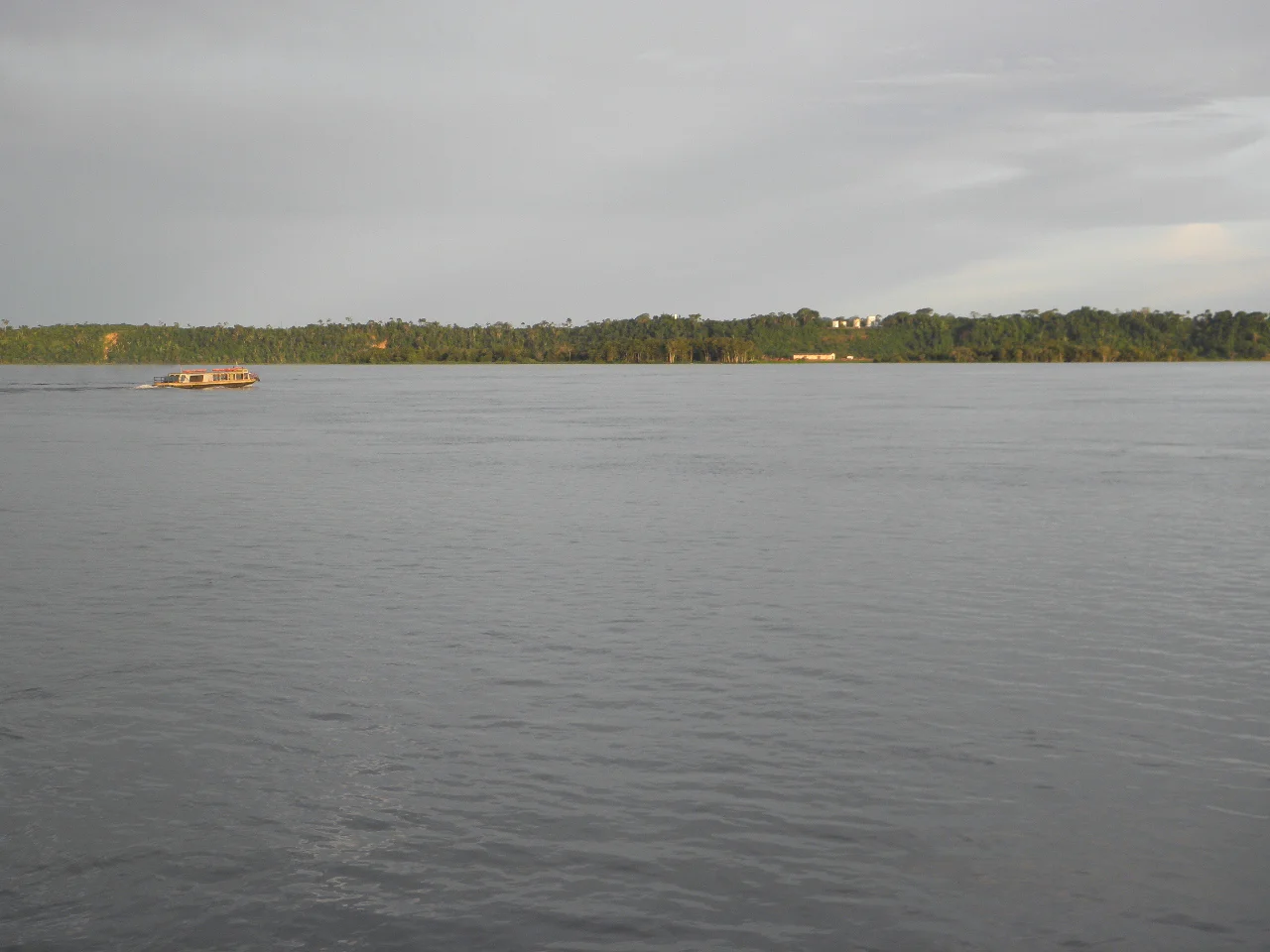
Flying over this stretch of the Tapajós today, you see one of the great clear-water rivers of the Amazon basin, running blue-green where it passes over sandy bottoms and broken by rapids near the proposed dam sites. The Tapajós meets the Amazon at Santarém, where the pale Tapajós water refuses for kilometers to mix with the muddy Amazon - a visible border you can see from the air. Upstream, the Munduruku villages continue. Gold mining along tributaries has already degraded parts of the watershed, and deforestation pressure around Itaituba and Jacareacanga continues to expand. The dam remains an option, held in abeyance. Brazilian energy planners have not let go of the Tapajós as a source of power, and every few years the project resurfaces in one document or another. What happens next is a political question as much as an engineering one - a choice about whether a river is infrastructure or something else.
From the Air
Proposed dam site at 5.19 degrees south, 56.91 degrees west on the Tapajós river in Pará state. Cruising altitudes of 10,000 to 20,000 feet show the clear-water Tapajós winding north toward its confluence with the Amazon at Santarém. Nearest airport is Itaituba (SBIH) downstream, with Santarém (SBSN) further north at the Tapajós mouth. Expect strong afternoon convection and visible haze from dry-season fires between August and October.
Nearby Stories
- Sawre Muybu Indigenous Territory 21 km away
- Jamanxim National Park 53 km away
- Alto Maues Ecological Station 96 km away
- Cachoeira dos Patos Dam 98 km away
- Tapajos Environmental Protection Area 119 km away
- Fordlândia 147 km away
- Sai Cinza Indigenous Territory 161 km away
- Manaus Air Force Base 357 km away