.jpg)
Kalamita Bay
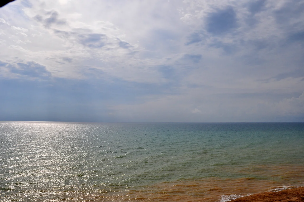
In September 1854, tens of thousands of French and British soldiers waded onto these beaches, and one of the first things they discovered was that they could not drink the water. The wells they dug ran brackish; men resorted to puddles and to wine taken from nearby farms. Kalamita Bay is a broad, gentle sweep of the Black Sea south of Yevpatoria, the kind of coastline that looks like an invitation. For the largest amphibious invasion the world had yet seen, it was a beachhead, and the thirst of that landing became one of the strange, small miseries that history remembers.
The Shape of the Water
Kalamita Bay, also called the Gulf of Kalamita, is a wide bay of the Black Sea that curves along the western Crimean coast south of the city of Yevpatoria. It is a place of subtle geography rather than dramatic cliffs. For roughly 24 kilometers east from Cape Karantinny, the shoreline traces what is essentially a geological fault, and here Yevpatoria Bay forms a distinct arm of the larger gulf, where the current shifts direction from the main body of water. The name Kalamita has traveled across the peninsula over the centuries; it was once used for Inkerman as well, a reminder of how place-names on this coast have drifted and doubled through successive rulers and languages.
An Army Comes Ashore
On 18 September 1854, Allied forces landed on these shores to begin the campaign against Russia's great naval base at Sevastopol, the opening move of the Crimean War's central struggle. The scene was tense but strangely bloodless. The sight of the allied fleet on the horizon threw the region into confusion, as local Tatars formed armed bands in support of the newcomers while Russian and Greek residents fled inland in panic. The landing itself took five days and met no resistance, watched only from a distance by a handful of Cossack scouts. The beach was well shielded, guarded seaward by the navies and landward by a saltwater lagoon, so that the vast, vulnerable operation unfolded without the disaster it might have become.
The Bitter Wells
For all its calm, the landing left the soldiers with an immediate ordeal that no map had warned them of. Water was everywhere and none of it fit to drink. The wells they sank into the sandy ground yielded brine, extremely brackish and undrinkable, and the men made do however they could, some drinking from puddles, others carrying off wine from the surrounding farms. It is the kind of detail that cuts through the grand strategy of a war to the ordinary human body, thirsty on a foreign shore. These beaches would eventually funnel an entire army toward Sevastopol and the long, grinding siege to come, but the first lesson Kalamita Bay taught its invaders was simply how hard it is to find good water by the sea.
The Gateway to a War
It is easy to underestimate a place like this, a mild coastal arc with no cliffs to announce its importance. Yet Kalamita Bay was the doorway through which one of the nineteenth century's defining conflicts poured onto Crimean soil. The gentle gradient of the shore, the sheltering lagoon, the shallow, forgiving water that had made the landing possible, all of it turned an unremarkable bay into a hinge of history. From here the Allied armies marched south toward the fortress city of Sevastopol, beginning a campaign that would grind on for the better part of a year and reshape the balance of power in Europe. Today the same beaches lie quiet along the Black Sea, their sand giving no sign of the tens of thousands who once waded ashore in search of water they could actually drink.
From the Air
Kalamita Bay curves along the western Crimean coast near 45.08°N, 33.38°E, south of Yevpatoria. From 3,000–5,000 feet the broad shallow arc of the bay is clearly visible, with Cape Karantinny marking the northern end of its 24-kilometer inner shoreline. The nearest airport is Saky (UKFI) just inland to the northeast.
Nearby Stories
- Tarkhankut Peninsula 7.6 km away
- Eski Yurt 11 km away
- Soviet Destroyer Otvazhny 21 km away
- Crimea 22 km away
- Tarkhankut Lighthouse 33 km away
- Kalos Limen 44 km away
- Syvash 93 km away
- Januarius MacGahan 368 km away