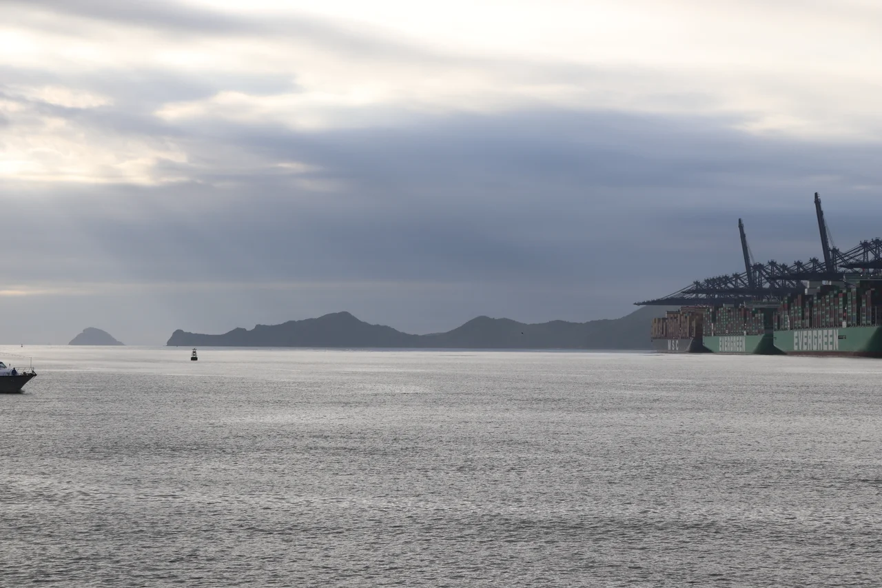

Kat O (Crooked Island)
Three Western-made cannons stand on a small island that most Hong Kongers have never visited. They arrived in the 19th century — nobody is quite sure how — and they have been rusting quietly ever since, watching over a bay that was once one of the busiest maritime crossroads between Hong Kong and the Chinese mainland. The island is Kat O, known in English as Crooked Island for the bent geometry of its coastline, and it has always been the kind of place where history washes up and stays.
Gateway at the Edge of the World
Before modern transport shrank distances, geography was destiny. Kat O occupied a strategic position in the western reaches of Mirs Bay, a natural stopping point for boats threading between Hong Kong and the coast of Guangdong. For generations, junks loaded with fish, goods, and people paused here to resupply and rest. The island built its identity around that traffic — a fishing market that served the broader region, a place whose fortune rose with the movement of boats across the bay. It was, in the language of old trade routes, a waystation: essential precisely because it sat in the middle of things. That centrality made it worth defending, which perhaps explains the cannons. Their Western manufacture suggests they came through trade or capture, placed here to watch the approaches to the bay in an era when maritime commerce and maritime danger were often the same thing.
Emptied and Returned: A Hakka Story
Kat O's human story involves a forced departure that shaped everything that came after. During the Ming dynasty, an imperial decree required all inhabitants to abandon the island — one of several such coastal clearances the Ming emperors ordered to suppress smuggling and piracy. The island sat empty until the 1660s, when the dynasty had fallen and the prohibition with it. Hakka families resettled the land, and it is their descendants who define Kat O's character to this day. The Hakka, whose name means 'guest people,' were a migratory Han Chinese group who moved south over centuries, settling in the hills and coastal margins that others had left behind. On Kat O they built the Tin Hau Temple at Sai O — dedicated to the goddess of the sea, protector of fisherfolk — and they established the Tat O School in part of that same temple complex, a schoolroom inside a shrine that served island children until 1957.
Largest Island You've Never Heard Of
With 2.35 square kilometres, Kat O is the largest island in Hong Kong's North District, though that distinction rarely follows it into conversation. Its neighbours — Ap Chau, Ngo Mei Chau (Crescent Island), and Pak Sha Chau (Round Island) — are similarly obscure, a cluster of small islands scattered across waters that visitors seldom reach. The northwest coast is still inhabited, the village of Tung O clinging to the shore. The waters surrounding the island carry their own designation: O Pui Tong and the island's northwestern shallows are two of Hong Kong's 26 designated marine fish culture zones, where fish farms operate under government licence. The same waters that once drew pirate junks now sustain an aquaculture industry, and the bay still provides, as it always has.
Reading the Rocks
Kat O is part of the Hong Kong UNESCO Global Geopark, and the geology here rewards attention. A 1-kilometre nature trail runs from the ferry pier at Kat O village to Ko Tei Teng, tracing a path through landscape shaped by forces older than any dynasty. The island's inclusion in the Geopark reflects a broader effort to document and protect the distinctive rock formations of Hong Kong's northeastern waters — formations that tell a story of volcanic eruptions, tectonic movement, and millions of years of erosion by the South China Sea. The Kat O Geoheritage Centre, staffed by local guides who know the island's geological and cultural history, links the rocks beneath your feet to the Hakka fisherfolk who settled above them. It is the kind of place where natural and human history arrive at the same story from different directions.
Arriving on the Far Shore
Getting to Kat O requires intention. There is no bridge, no regular bus route, no casual drop-in. Ferries connect the island to the mainland on a limited schedule, and the journey itself becomes part of the experience — crossing water that for centuries carried the traffic of an entire coast. The island moves slowly. The population has shrunk as younger generations moved to Fanling and Tai Po and beyond, leaving Kat O quieter than its history suggests it should be. Weekends bring hikers and day-trippers who have read about the cannons or the geopark or simply want to find a place that has not yet been tidied into a tourist attraction. They find a fishing village where cats sun themselves on stone walls, where the Tin Hau Temple still smells of incense, and where three cannons of uncertain origin keep their long, patient watch over the bay.
From the Air
Kat O (Crooked Island) lies at approximately 22.54°N, 114.30°E in the western reaches of Mirs Bay, northeast of the New Territories main landmass. At 3,000–5,000 feet, the island's distinctive bent coastline is clearly visible against the blue-green of the bay. The ferry village on the northwest coast, the surrounding fish farm buoys, and the larger neighbouring island of Ap Chau to the south provide clear visual reference points. Primary airport: VHHH (Hong Kong International Airport), approximately 55 km to the southwest. The Shenzhen coast (ZGSZ) is visible to the north across the bay. Mirs Bay's broad expanse, with Tung Ping Chau visible to the east on clear days, makes this corner of Hong Kong's waters ideal for low-altitude coastal navigation.
Nearby Stories
- Basalt Island 7.1 km away
- Ngong Ping 360 7.5 km away
- China Southern Airlines Flight 3456 11 km away
- Huizhou (Guangdong) 27 km away
- Dongguan 27 km away
- Battle of Penghu 471 km away
- Penghu Air Raids 477 km away
- Checheng Fu'an Temple 593 km away