Katavi Region
Sixty-eight percent of Katavi Region is forest. Put that against a world where most places have cleared their woods long ago, and the statistic lands with force - this is one of the greenest, least-disturbed parts of Tanzania, a region of miombo woodlands and floodplains comparable in area to the entire country of Estonia. Katavi was carved out of older administrative units in 2012. Its name honors Katavi, the spirit of Lake Tanganyika, which forms the region's western border with the Democratic Republic of the Congo.
A Very New Region
In March 2012, shortly after Tanzania's president created a number of new regions to bring administration closer to the ground, Dr. Rajab Mtumwa Rutengwe was appointed Katavi's first Regional Commissioner. He had been serving as Mpanda District Commissioner, and Mpanda remains the regional capital. Katavi Region was split off from the older Rukwa Region. According to the 2022 national census, the population stands at 1,152,958, spread thinly across a territory bordered by Kigoma Region to the north and west, Tabora Region to the east, and Rukwa and Songwe Regions to the south. The region is divided into six districts, each governed by its own council, with Tanganyika District representing the newest subdivision.
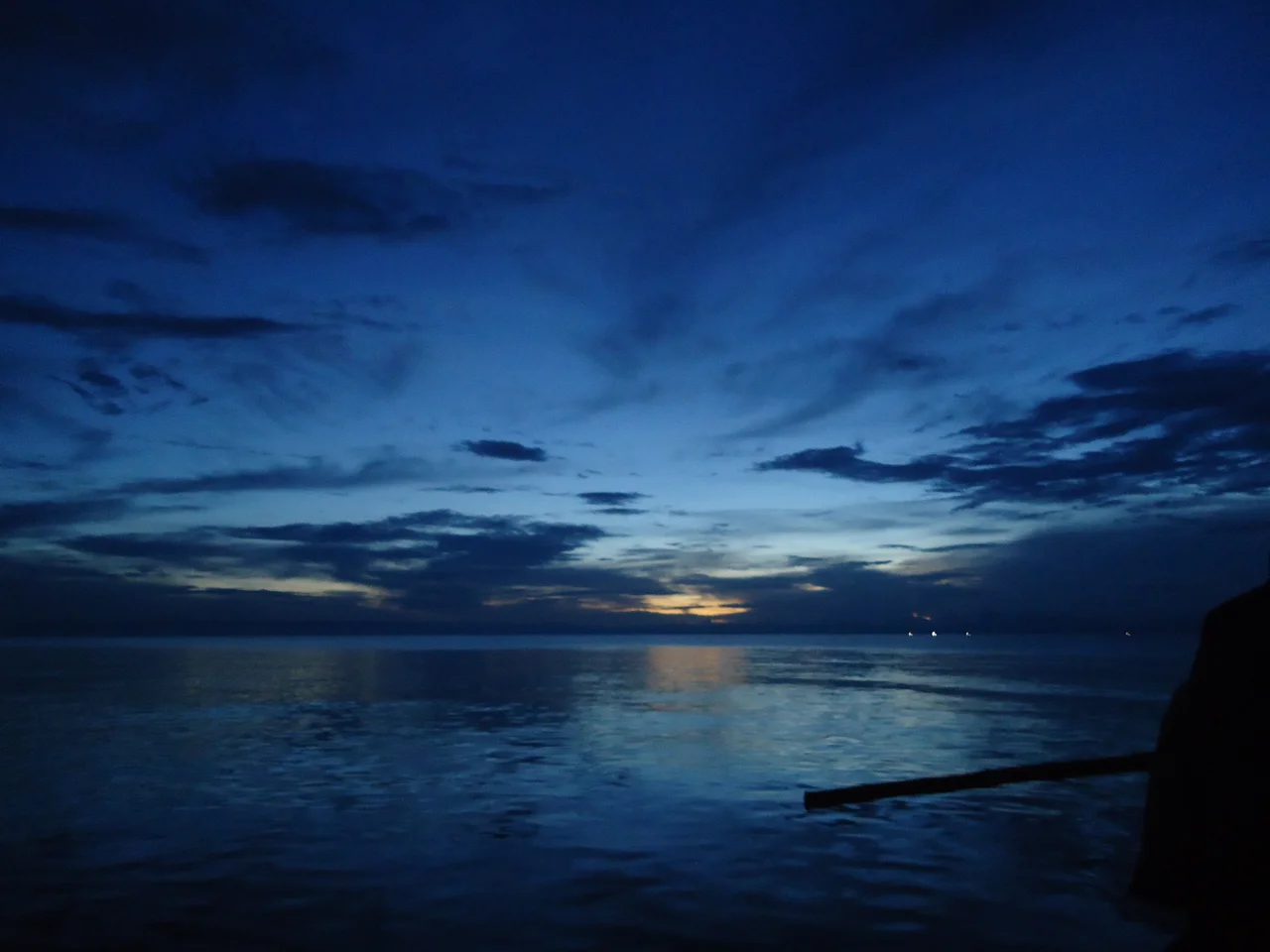
Landscape and Water
Katavi sits on a plateau between 1,000 and 2,500 meters in elevation, with temperatures that typically range between 26 and 30 degrees Celsius but drop to 13-16 degrees in the cool months of June and July. Three distinct agro-ecological zones - highland, midland, and lowland - give the region varied farming conditions and a remarkable biological diversity. The Karema depression, a soft-plain region near the lake, contrasts with the Mwese highlands to the north and the Katumba plains in the east. The Katuma River drains south toward Lake Rukwa; other streams feed Lake Tanganyika. Rainfall varies significantly, running between 700 and 1,300 millimeters a year, most of it falling between November and April.
Farming, Fishing, Forestry
Agriculture employs 96 percent of the region's labor force. Small-scale farmers work dispersed plots of maize, rice, sunflower, sesame, groundnuts, cassava, millet, sweet potatoes, and sorghum. Cattle herding - using the local zebu breeds - is widespread, supported by the vast grazing areas that also attract pastoralists from neighboring regions. Less than half a percent of workers are in the fishing industry, mostly along the Lake Tanganyika shore. Honey is a quiet Katavi specialty, transported out of the region mainly to Dar es Salaam for processing and packaging. Mining adds another strand to the economy: coal, mica, moonstone (quarried near Karema and at Kapalamsenga in Tanganyika District), iron ore, nickel, cobalt, lead, gold, and copper all occur in the region's rock.
Miombo and Its Protectors
The defining ecosystem is miombo woodland - broadleaf trees that carpet southern Africa's central plateau with a slow-burning, slow-growing forest. Katavi Region holds an extraordinary 3,140,639 hectares of forest, according to regional government figures, or 68.51 percent of its total land area. That makes it, by official measure, the most natural region in Tanzania. The protection list reads like a guidebook: Katavi National Park, Rukwa Game Reserve, and a mosaic of forest reserves at Inyonga, North East Mpanda, Msaginya, Mulele Hills, Rungwa, Kabungu, Ugalla River, Rungwa River, Nkamba, and Tongwe West. The Mlele District Council alone manages 4.7 million acres of natural forest. The wildlife in these reserves includes elephants, lions, buffalo, giraffes, hippos, crocodiles, and large populations of antelope.
Getting There and Getting Around
Mpanda Airport serves the regional capital, with connections to Songwe, Kigoma, and Tabora, and onward to Dar es Salaam through Julius Nyerere International or Kilimanjaro International. A 210-kilometer railway line connects Mpanda to Kaliua in Tabora Region, offering three weekly passenger and cargo services that thread north toward Tabora and the Indian Ocean corridor. Beyond that, the region's transportation is honestly thin. Roads deteriorate in the rainy season. Distances are large. Mizengo Pinda - the ninth Prime Minister of Tanzania, who served from 2008 to 2015 - is the most prominent national figure to have come from Katavi, and even he reached national office partly on the strength of knowing how to navigate a region where the simplest journey between villages can take an entire day.
From the Air
Katavi Region centers around 6.4°S, 31.33°E at 1,000-2,500m elevation. Mpanda Airport (HTMP) is the regional capital's airfield, with a short paved runway serving light aircraft and scheduled domestic flights. Ikuu airstrip inside Katavi National Park and Sitalike airstrip offer bush access. Lake Tanganyika along the western border is a dominant visual reference at cruise (FL200+); the Mwese highlands to the north and Lake Rukwa to the south help with orientation. Dry season (May-October) provides the best visibility. Afternoon thunderstorms during the November-April rainy season.
Nearby Stories
- Katavi National Park 30 km away
- Karema, Tanzania 57 km away
- Mahale Mountains 106 km away
- Lagosa 121 km away
- Ngualla 148 km away
- Battle of Tabora 155 km away
- Lake Tanganyika 217 km away
- Mbeya Region 257 km away