.jpg)
Kerch Peninsula
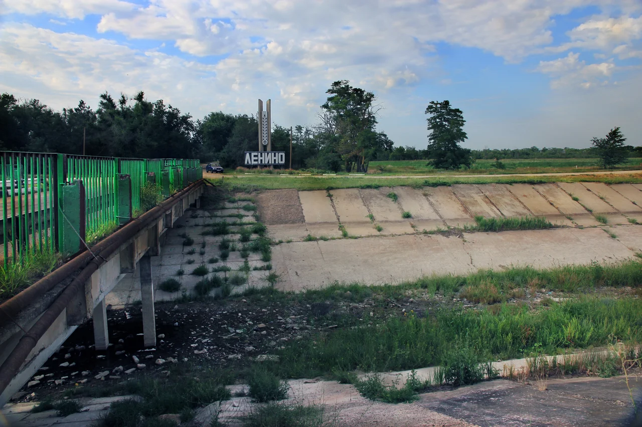
The Greeks who sailed here in antiquity gave this land a blunt, honest name: the Rough Peninsula. Stand on the elevated ground of its narrow neck, and you understand why they bothered to name it at all, for from those heights you can see both the Sea of Azov and the Black Sea at once, two waters pressing in on a thumb of Crimea that reaches east toward the Taman shore. The Kerch Peninsula hangs off the edge of the larger Crimean Peninsula like a near-island, tethered by a strip of land just seventeen kilometers wide. Everything about it, its salt lakes, its bubbling mud volcanoes, its flat and windswept steppe, feels like a place set slightly apart from the rest.
Two Seas, One Isthmus
Geography made the Kerch Peninsula almost an island. It is nearly ringed by water, connected to the rest of Crimea only by the Isthmus of Ak-Monay, that thin seventeen-kilometer bridge of land. Beyond it, the peninsula stretches more than ninety kilometers eastward, broadening to fifty-two kilometers at its widest before tapering toward the Strait of Kerch, the natural border with the Taman Peninsula across the water. In all it covers about 2,830 square kilometers, just over a tenth of Crimea's total area. To the south lies the Black Sea and the Bay of Feodosia; to the north, the shallow, warm Sea of Azov, along with Kazantip Bay and the long sandy arc of the Arabat Spit, which walls off the strange lagoon called the Sivash, the Rotten Sea.
The Land That Breathes Mud
The peninsula's most unexpected feature rises not toward the sky but out of the ground. Kerch is a land of mud volcanoes, cones and pools where gas and clay well up from deep below, part of a wider belt of these phenomena that stretches across the Caucasus, Iran, and the Caspian region. They are more than curiosities. These mud volcanoes are tied to the oil and gas that lies beneath the peninsula, hints at the hydrocarbon wealth in the rock. Above the mud rise the peninsula's landmarks in the northeast, chief among them Mount Mithridat, standing on the shore of the strait where the city of Kerch itself has grown, a hill layered with the ruins of a very long human story.
Refuges Wild and Ancient
For all its harshness, the Rough Peninsula shelters remarkable life and history. Its nature preserves protect landscapes found nowhere else: the Opuk reserve is the only place in Ukraine where rosy starlings nest, and the Kazantip preserve guards a rugged cape rich in rare plants. Strung across the steppe lie salt lakes like Koyashskoye, Uzunlarske, and Tobechytske, some of which blush pink under the sun. Human hands left their marks too. A defensive rampart known as the Turkish Wall runs clear across the peninsula, from Kazantip Bay in the north to the lake of Koyashskoye in the south, one of many fortifications built over the ages to control this land bridge between two seas. To cross the Kerch Peninsula is to move through deep time, geological and human alike.
A Crossroads of Empires
Few small landscapes have hosted so much history. Because the Kerch Peninsula sits at the narrow gate between the Black Sea and the Sea of Azov, it has always been a place worth taking. Ancient Greek colonists planted cities along its shores, among them Panticapaeum, which grew into the capital of the Bosporan Kingdom, and Myrmekion nearby. From these towns, grain flowed south to feed distant Athens, and here Greek settlers, Scythians, and later Romans and Byzantines met and traded and fought. The strait itself has served as a natural frontier and a coveted crossing ever since, right up to the great battles of the twentieth century, when armies again bled for control of this thumb of land. The mud volcanoes and salt lakes give the peninsula its strange beauty; its position at a maritime chokepoint gave it a history far larger than its 2,830 square kilometers would suggest.
From the Air
The Kerch Peninsula occupies the eastern end of Crimea, centered around 45.25°N, 36.00°E, between the Sea of Azov to the north and the Black Sea to the south. From 8,000 feet the near-island shape is clear: the narrow Ak-Monay isthmus to the west, the Strait of Kerch and the city of Kerch to the east, and salt lakes dotting the steppe. Nearest major airfield is Simferopol (UKFF), roughly 110 km west.
Nearby Stories
- Arabat Fortress 4.3 km away
- Kerch Railway Bridge 9.3 km away
- Koktebel 22 km away
- Soviet Destroyer Smyshlyony 35 km away
- Arabat Spit 44 km away
- Karadag Nature Reserve 64 km away
- Byriuchyi Island 98 km away
- Meotyda National Nature Park 186 km away