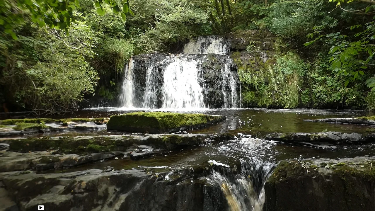

Kilflynn
In March 1923, in a quarry near Tralee, Free State soldiers tied nine Republican prisoners to a landmine and detonated it. Eight were killed instantly. The ninth, a Kilflynn man named Stephen Fuller, was blown clear by the blast and crawled into a hedge with his clothes in tatters and shrapnel in his back. The Free State announced the men had been killed by an IRA mine they were forced to clear. Fuller's survival made the official story impossible to maintain. He eventually became a Fianna Fáil TD for North Kerry, and the Ballyseedy massacre became one of the defining atrocities of the Irish Civil War. Fuller's village - Kilflynn, population 126 in 2011 - is otherwise a quiet place 11 kilometres northeast of Tralee, hugging the River Shannow in the southern part of the Listowel plain.
Cill Flainn
The name's meaning is genuinely uncertain. Cill in Irish means cell or churchyard, so Cill Flainn could be the church of someone named Flainn - perhaps a hermit monk said to have lived by the Shannow, who legend has it was crippled and blind, and who was offered sight by the Virgin Mary but asked instead that the healing power be transferred to a local well. The well is still called Tobar Flainn. No St. Flainn was ever canonised, and the figure may be a folk-conflation with St. Flannan of Killaloe. The alternative theory traces the name to the medieval O'Flannan tribe via a 15th-century rent roll. Anglicised spellings wander - Kilfloinie in 1656, Kilflin in 1756, Kilftyn in a 1777 road map - before settling into the modern form. The village sits in what was once the Anglo-Norman cantred of Othorna and Oflannan, on land settled in the first century AD by the Ciarraighe, the tribe that gave Kerry its name.
Where the Ice Sheet Split
About 19,000 years ago, the ice sheet that covered Ireland split here. The corridor along which the split happened ran roughly through what is now Kilflynn, down past Banna Strand to an Atlantic that was then well offshore - sea levels were lower, and what is now coast was inland scrubland. The main ice sheet retreated north; a smaller Kerry-Cork ice cap lingered to the south for another thousand years before melting away. The bedrock beneath the village is Namurian sandstone and shale, 326 to 313 million years old, formed in a tropical river delta on a continent that hadn't yet fragmented into Europe and North America. North and west of the village, the bedrock changes to limestone, which farmers later quarried and burned in lime kilns to sweeten the acidic soil. Some of those kilns still stand, half-collapsed, in the corners of fields. The Shannow river runs through the village and feeds, eventually, into the Atlantic south of Ballybunion.
The Stacks and the Ponsonbys
The Norman family who gave Stack's Mountains their name held this country for centuries. The Stacks owned Crotta and a string of surrounding townlands, their seat just north of Kilflynn. Then came 1641, the Confederation, the Cromwellian reconquest, and the great redistribution of land. The Stacks lost everything because they had supported the Catholic Confederation. Henry Ponsonby, the brother of a New Model Army colonel, picked up most of what they forfeited. He built Crotta House in 1669 in the Restoration style. The Ponsonbys held it until 1842. By 1850 it was leased by Lieutenant Colonel Henry Horatio Kitchener - and his son, the future Field Marshal Lord Kitchener of Khartoum, the famous First World War recruiting-poster face, spent most of his youth running around the fields and outbuildings of Crotta. The house itself collapsed or was demolished in the 20th century, leaving a few outbuildings and a brass plaque. Pender's Census of 1654-1659 recorded a population of 1,126 for the whole barony of Clanmaurice, of whom 86 were English and 1,040 Irish.
The Volunteers and the Tans
On 13 June 1914 a company of Irish Volunteers formed in Lixnaw, supported by men from Kilflynn. When World War I broke out, John Redmond urged Irish nationalists to enlist in the British Army to demonstrate their fitness for Home Rule, and the local Volunteer company disbanded as its members went to the trenches. It reformed in 1917 as the wider Irish independence movement crystallised. From 1919, engagements with the RIC and the Black and Tans (the reserve force Churchill called up from British war veterans) intensified. In March 1921, British forces threw a cordon from Kilflynn to the Atlantic in an attempt to trap and round up the IRA; hundreds of men were jailed at Ballyheigue Castle, including only a single actual IRA volunteer. Locally, the IRA blew up the bridge over the Shannow where the Kilflynn road meets the R557, lay in wait for Crown forces, and opened fire. Casualties on both sides. A British officer was killed trying to cross the river.
Ballyseedy
The Truce came in 1921, then the Treaty, then the bitter Civil War between those who accepted the partial independence on offer and those who held out for a fully sovereign Republic. Kilflynn was strongly anti-Treaty. Among the Irregulars from the village were John McElligott, Danny O'Shea, George O'Shea, Tim Twomey, and Stephen Fuller. In March 1923, Twomey and Fuller were among nine prisoners tied to a landmine at Ballyseedy Cross by Free State soldiers and blown up - one of three near-identical incidents in Kerry that month. Eight died at Ballyseedy. Fuller survived. He testified about what had really happened, and the Free State's official explanation - that the prisoners had been clearing an IRA mine that detonated by accident - collapsed under scrutiny. Free State Lieutenant Niall Harrington called the official report 'totally untrue.' Fuller went on to a long political career. The Ballyseedy memorial, a sculpted figure of a fallen man, stands today in Tralee. The dead were ordinary men with ordinary names: Patrick Buckley, James Walsh, John Daly, George O'Shea, Tim Twomey, Stephen Fuller's friends and neighbours.
The Quiet Village
Modern Kilflynn is what most Irish villages of its size are: smaller and older than it used to be, with young people drifting toward Tralee or Cork or further. New houses have gone up. The school, Scoil Treasa Naofa, has grown its enrolment. The 18th-century Church of Ireland building serves now as St. Columba's Heritage Centre, with a museum that tells Lord Kitchener's story alongside the village's own. The local Crotta GAA hurling club draws from Kilflynn and surrounding townlands. The five TDs for the Kerry constituency in the 34th Dáil include two Healy-Rae brothers and a Sinn Féin representative - a sample of contemporary rural Irish politics. The Shannow still runs through. The lime kilns still crumble in the fields. Stephen Fuller's name is still spoken here, more than a century after he lay in a hedge bleeding from the back.
From the Air
Kilflynn lies at 52.3505°N, 9.6253°W, 11 km northeast of Tralee in the southern Listowel plain. From the air the village appears as a small cluster of houses on the curving N69 road, with the Shannow river meandering through low farmland to the north. Kerry Airport (EIKY) at Farranfore is 15 km southeast. Shannon Airport (EINN) is 75 km north across the Shannon estuary. Stack's Mountains rise to the southeast. The Atlantic at Banna Strand is 13 km west-northwest. Best viewing altitude is 2,500-4,500 feet to take in the village and the surrounding patchwork of small fields, lime kilns, and ringfort sites.
Nearby Stories
- Leacanabuaile 9.3 km away
- Ballynavenooragh 10 km away
- Muskerry West 11 km away
- Killarney National Park 11 km away
- Siege of Carrigafoyle Castle 12 km away
- Newcastle West 18 km away
- 1961 President Airlines Douglas DC-6 crash 19 km away
- RMS Carinthia (1925) 80 km away