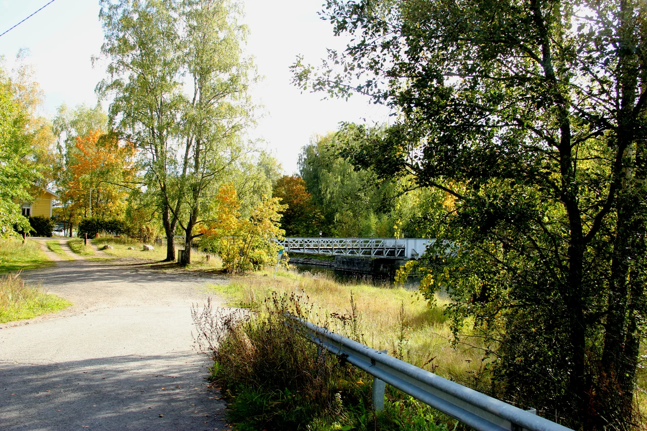

Kimitoön
In 1686, someone looked at the village of Dahl on the south coast of Kimito island and saw two things that rarely occur together: a deep natural harbour and a great deal of iron ore. The ironworks they founded there did not close in 1750, or 1850, or 1950. It ran, continuously, until 2012 — three hundred and twenty-six years, a span almost unmatched anywhere in the metal industry. The village that grew around it is called Dalsbruk now, Taalintehdas in Finnish, and it is the most urban thing on an island that is otherwise pine forest, rock, red barns and water.
The Long Furnace
Three centuries of continuous industry leave marks that a shorter run never would. Dalsbruk's building stock is genuinely peculiar for a Finnish village of its size — workers' terraces, ironworks offices, the whole vocabulary of a company town laid down in successive architectural fashions. The church, built in 1921 and 1922, is made partly of slag, the waste left over from ferroalloy production, which is one way to answer the question of what to do with three hundred years of accumulated by-product. The works are silent now and the museum tells their story, but the village has not gone quiet: every summer the Baltic Jazz festival fills it, and the marina fills with visiting boats.
Locks, Lime, and Endings
Kimitoön has a habit of outliving its own industries. In the village of Björkboda, between Kimito and Dalsbruk, the celebrated Finnish lockmaker Abloy kept a factory until 2019; the buildings now hold a lock museum, which is a more interesting proposition than it sounds in a country that takes its door hardware seriously. Over in the Västanfjärd area, small limestone quarries and lime kilns worked the rock from the 1600s until the last of them shut in 1952. Nothing here failed dramatically. The ore ran out, the market moved, production consolidated somewhere larger — and each time the island absorbed the loss and kept the buildings.
The Newspaperman's Orchard
Amos Anderson was born on this island, made a fortune in Helsinki as proprietor of *Hufvudstadsbladet* — Finland's largest Swedish-language paper, which he also edited from 1922 to 1945 — and in 1927 bought the Söderlångvik estate back home from the Dalsbruk ironworks. He was not a modest builder. Between 1934 and 1935 the architect Wäinö Palmqvist turned the original single-storey log house into a two-storey manor 47 metres long, with wings added in 1937 and 1938. Anderson lived there until his death in 1961 and left the manor and his art collection to Konstsamfundet, the foundation he had created; since 1965 it has been a museum, hung with Finnish art of the early twentieth century. He also planted apples. The estate and its associated farm at Tolfnäs run to roughly 50,000 trees, which makes this quiet corner of the archipelago one of the largest apple producers in Finland.
Older Than the Documents
People have lived here permanently since at least the 12th century, and the Hitis islands to the south are probably where they settled first. A separate Kimito parish turns up in written records in the 1320s; the pilot station at Jungfrusund is named in 1490; the present Kimito church was finished in 1496, though excavations under it have turned up coins from the 1300s, which suggests the congregation predates its walls by a good margin. The language of all this is largely Swedish. Kimitoön forms the eastern half of Åboland, and about 65 percent of its roughly 6,300 residents speak Swedish as their mother tongue, with around 30 percent Finnish-speaking. Most people manage both, and English besides.
Three Thousand Islands
The main island covers 524 square kilometres, the largest coastal island in Finland — only Fasta Åland, out in the autonomous Åland archipelago, is bigger among the country's sea islands. Around it lie some three thousand more, which is why the municipality's 2,801 square kilometres are three-quarters water. Kasnäs in the southwest is the hinge: ferries leave from there for Hitis and its neighbour Rosala, home to a Viking centre, and for Högsåra and Örö. Örö is the surprise. Fortified by the Russians from 1915 and kept as a closed military island for a century, it opened in 2015 as part of the Archipelago Sea National Park, and the very restriction that kept people out preserved meadows full of rare butterflies and old forest that farming would have taken. Further out again stands Bengtskär, the tallest lighthouse in the Nordic countries, on two hectares of bare granite. On 26 July 1941 Soviet troops landed there intending to blow it up; the small Finnish garrison held, and the lighthouse — battered, but standing — is now a museum reached by boat from Kasnäs or Hanko. Most of the island municipality, though, does nothing so dramatic. There are more summer cottages here than year-round homes, and every June the population and the noise level roughly double.
From the Air
Kimitoön lies in the Archipelago Sea at approximately 60.16°N, 22.73°E, about 60 km southeast of Turku. Turku Airport (EFTU) is the nearest major field; Helsinki-Vantaa (EFHK) is roughly 150 km east and Hanko Airfield (EFHN) about 70 km southeast across the water. Cruise 2,500–5,000 ft for the best reading of the archipelago: the large forested main island with cultivated clearings and the Dalsbruk works on its south coast, then a fraying edge of thousands of skerries running southwest toward Kasnäs, Hitis and the outer chain. Örö and Bengtskär mark the seaward limit — Bengtskär's tall white tower on bare rock is visible from a long way out on a clear day. Watch for restricted areas around remaining defence installations. Summer brings haze and sea fog over the archipelago; winter ice can lock the inner fairways solid.
Nearby Stories
- Nådendal Abbey 7.3 km away
- Hitis 10 km away
- Archipelago National Park 15 km away
- Old Castle of Lieto 17 km away
- Ekenäs Archipelago National Park 19 km away
- Fiskars, Finland 21 km away
- Moomin World 31 km away
- Hiidenlinna 35 km away