
Kutini-Payamu (Iron Range) National Park
A green python coils on a branch here, emerald and patient, looking for all the world like a creature that took a wrong turn somewhere over the Torres Strait. In a sense, it did. Kutini-Payamu, on the remote eastern edge of Cape York Peninsula, protects the largest surviving area of lowland tropical rainforest in Australia, and its strangeness is the whole point: when Australia and New Guinea were last joined by land, animals and plants walked and grew across the bridge. The sea rose, the bridge drowned, and this pocket of jungle kept a slice of New Guinea on the Australian mainland. To stand beneath its canopy is to stand in a place that feels like it belongs to a different country.
A Fragment of New Guinea
The numbers strain belief. More than 1,800 species have been recorded here, and roughly 60 percent of all of Australia's butterfly species occur within this single park. Some creatures live nowhere else: the eclectus parrot of these forests, blazing scarlet and emerald, is confined to the Iron and McIlwraith Ranges, a sliver of country between the Pascoe and Rocky rivers. Red-cheeked parrots wheel overhead. The spotted cuscus, a slow marsupial with a curling tail, moves through the high branches at night. Green tree-frogs cling to wet leaves, and the green python, that vivid New Guinea signature, drapes itself over branches like living jewelry. It is one of the most biologically extraordinary places on the continent, hidden where almost no one goes.
Kutini and Payamu
The park's name comes from the Kuuku Ya'u people, the Traditional Owners of this country, and it carries their words for two beings of the land: kutini, the cassowary, and payamu, the scrub python. These are not decorative labels. The southern cassowary still walks these forests, a towering flightless bird that disperses the seeds of rainforest fruits and so quietly shapes the forest itself. The park is now jointly managed by the Northern Kuuku Ya'u Kanthanampu Aboriginal Corporation and the Queensland Government, a partnership that returns custodianship to the people who have read this land for thousands of years and know it as home rather than wilderness.
Runways in the Jungle
For a few intense years, this quiet rainforest roared. In June 1942, with the Pacific War closing in, American pioneer engineers landed at nearby Portland Roads and began carving an airbase out of the jungle. Working in heat and mud, two battalions cleared and built two runways of 7,000 feet each, along with miles of sealed taxiways, in roughly three months. By November the 90th Bombardment Group had arrived with dozens of B-24 Liberator bombers, four-engined giants that lumbered off these strips on long-range missions over New Guinea and the seas beyond. The jungle has since reclaimed most of it, but the scars of those wartime runways still cut through the trees, an unlikely chapter in a place defined by deep natural time.
Birds at the Edge of the Map
Kutini-Payamu forms part of a vast Important Bird Area spanning the McIlwraith and Iron Ranges, recognized by BirdLife International as one of the few strongholds for the critically endangered buff-breasted buttonquail, a bird so elusive that ornithologists have struggled for decades simply to confirm where it lives. The same forests shelter an isolated population of southern cassowaries, the jewel-toned lovely fairywren, and a roll-call of honeyeaters and robins found together almost nowhere else. For birdwatchers, reaching this place is a pilgrimage measured in days of rough road. The reward is a dawn chorus unlike any other in Australia, sung by species that should, by all rights, be on the far side of an ocean.
From the Air
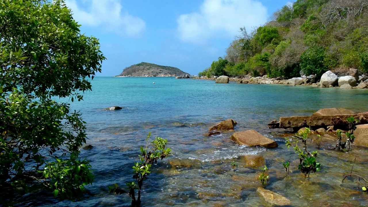
Kutini-Payamu (Iron Range) National Park lies at about 12.66 degrees south, 143.35 degrees east, on the east coast of Cape York Peninsula, roughly 100 km east of Weipa and 800 km north of Cairns. The dominant navigation feature is the contrast between dark, dense lowland rainforest and the long, bright beaches and heath-covered ranges along the coast. Lockhart River Airport (YLHR), formerly Iron Range Airport, sits at the park's edge with a 1,500 m sealed all-weather runway. Weipa Airport (YBWP) lies to the west across the peninsula. Recommended viewing altitude is 2,500 to 4,000 feet for appreciating the rainforest canopy meeting the Coral Sea. The wet season (November to May) brings heavy cloud and rain; the dry season offers the clearest conditions.
Nearby Stories
- Moreton Telegraph Station 11 km away
- Wenlock Goldfield 36 km away
- RAAF Base Scherger 72 km away
- Raine Island 102 km away
- Shire of Aurukun 116 km away
- Raine Island Beacon 130 km away
- Cape Melville 150 km away
- HMS Pandora (1779) 154 km away