_(cropped).jpg)
Kyle of Tongue Bridge
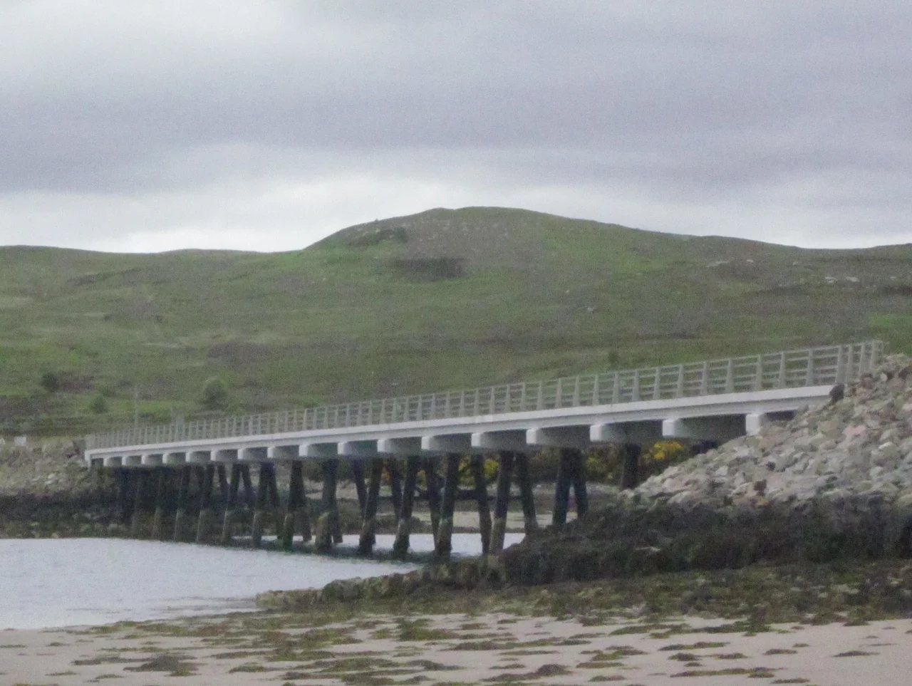
For most of the 20th century, getting from Tongue to Durness meant a choice. You could take the passenger ferry, which discontinued in 1956 and never came back. Or you could drive the head of the loch - a narrow, twisting ten-mile detour around the southern end of the Kyle of Tongue that added the better part of an hour to the journey on a road already infamous for its single-track tightness. In 1971, Sir Alexander Gibb & Partners built a way out of that choice: a 3.8-kilometre causeway and a 183-metre concrete bridge that simply went straight across.
Eighteen Spans Across a Sea Loch
The Kyle of Tongue is a tidal sea loch on the north coast of Scotland, narrow enough that a bridge is plausible and exposed enough that building one is not trivial. The 1971 solution was elegant: a 3.8-kilometre causeway from the eastern shore that lands on Tongue Island - Eilean Thunga in Scottish Gaelic, a natural island near the mid-point of the kyle - and then continues over a concrete bridge to the western shore. The bridge itself has eighteen spans supported by twin piers, totalling 183 metres of carriageway. It carries the A838, the trunk route between Thurso and Durness, and was fully refurbished in 2011 to extend its service life. The structure is functional rather than ornamental: pale concrete, low-slung, and built to survive sea-loch tides and the kind of Atlantic gales that the Sutherland coast routinely produces.
The Ferry That Never Returned
Before 1956 there was a passenger ferry across the kyle, a small open-boat service that linked the road on the eastern shore to the village of Tongue on the western side. It saved walkers and travellers the long detour around the loch's head, but it was weather-dependent, did not run at night, and could not carry vehicles. When the ferry stopped, the only crossing for anything larger than a sheep was the ten-mile loop south through Coldbackie and Borgie. For fifteen years that was the only option. The bridge, when it finally opened in 1971, was less a marvel of modern engineering than a long-overdue convenience - the kind of project the north coast of Scotland tends to wait decades for, then quietly accepts as essential within a season.
The View From the Causeway
The bridge sits in one of the most theatrical landscapes in mainland Britain. To the south rise Ben Loyal at 764 metres and Ben Hope at 927 metres, both Munros, both dominant features of the Sutherland skyline. The village of Tongue sits on the western shore with the ruin of Castle Varrich on the rock above it. The kyle itself, when the tide is in, mirrors the mountains; when the tide is out, the sandflats stretch like a pale sheet from bank to bank. Walkers stop on the causeway to photograph the view. Cyclists on the North Coast 500 route - the 516-mile loop of the northern Highlands that has transformed tourism in the area - cross it as one of the route's landmarks. For drivers, it is simply the section where the road finally relaxes after the climbs and twists of the inland route - one long, straight line across the water before the next climb begins.
From the Air
Located at 58.49 degrees north, 4.44 degrees west, crossing the Kyle of Tongue near its midpoint. Nearest controlled airfield is Wick (EGPC) approximately 45 nautical miles east; Inverness (EGPE) is about 80 miles south-east. From the air the causeway and bridge are a clear linear feature crossing the long narrow Kyle of Tongue, anchored on Tongue Island near its centre. The village of Tongue is visible on the western shore with Castle Varrich on the rock above. Ben Loyal at 764 metres and Ben Hope at 927 metres are dominant terrain features to the south and south-west and the major visual references for the area. Sutherland weather is typical: persistent low cloud, frequent rain, and Atlantic gales.
Nearby Stories
- Ardvreck Castle 4.7 km away
- Kinlochbervie 7.8 km away
- HMS King Edward VII 11 km away
- Loch Shin 12 km away
- Helmsdale 14 km away
- Flow Country 15 km away
- Old Man of Hoy 32 km away
- The Laki Eruption: The Volcano That Changed World History 923 km away